File:2013-12-de-postals.png
Jump to navigation
Jump to search

Size of this preview: 424 × 599 pixels. Other resolutions: 170 × 240 pixels | 339 × 480 pixels | 543 × 768 pixels | 724 × 1,024 pixels | 1,481 × 2,094 pixels.
Original file (1,481 × 2,094 pixels, file size: 2.3 MB, MIME type: image/png)
Summary
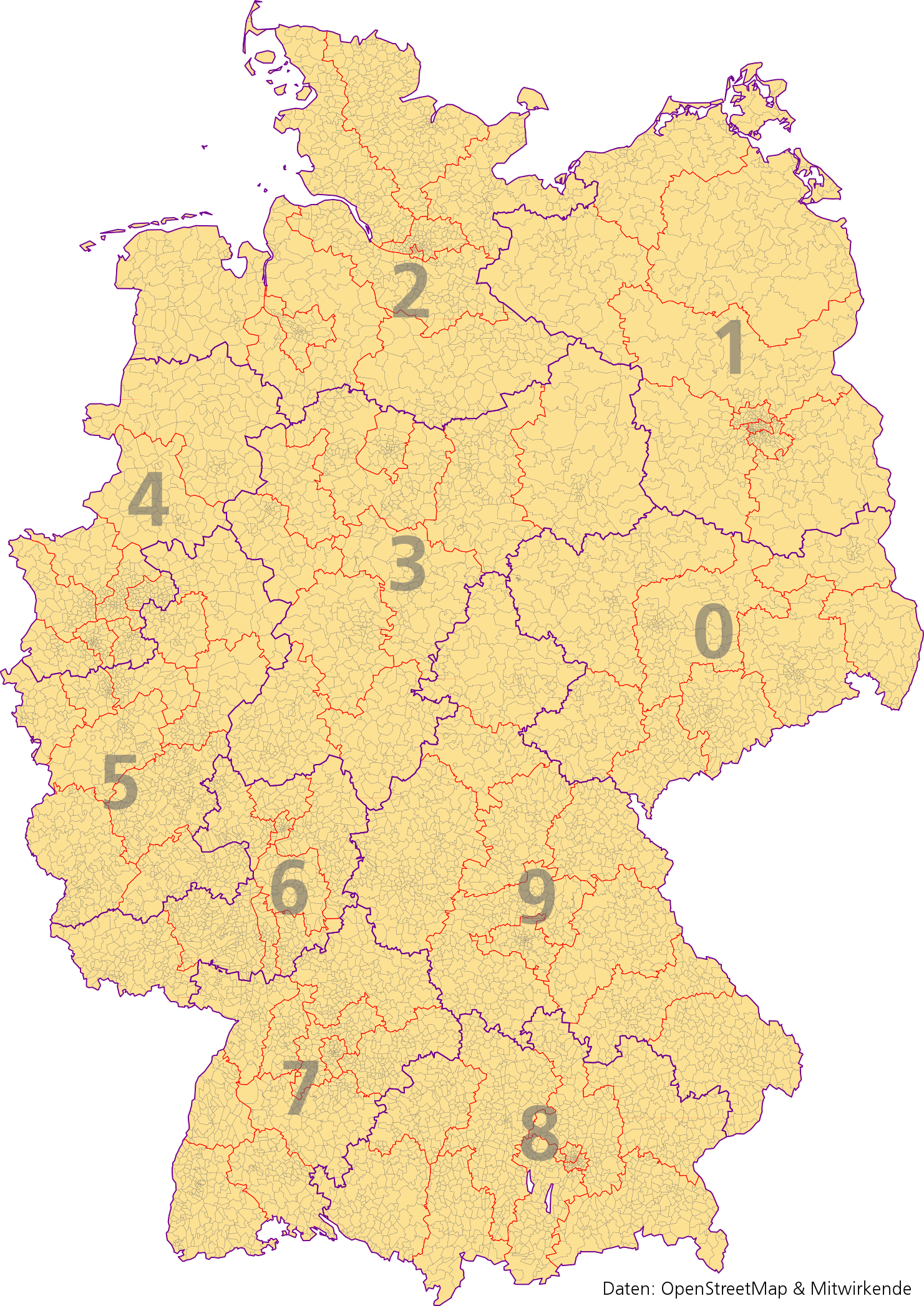
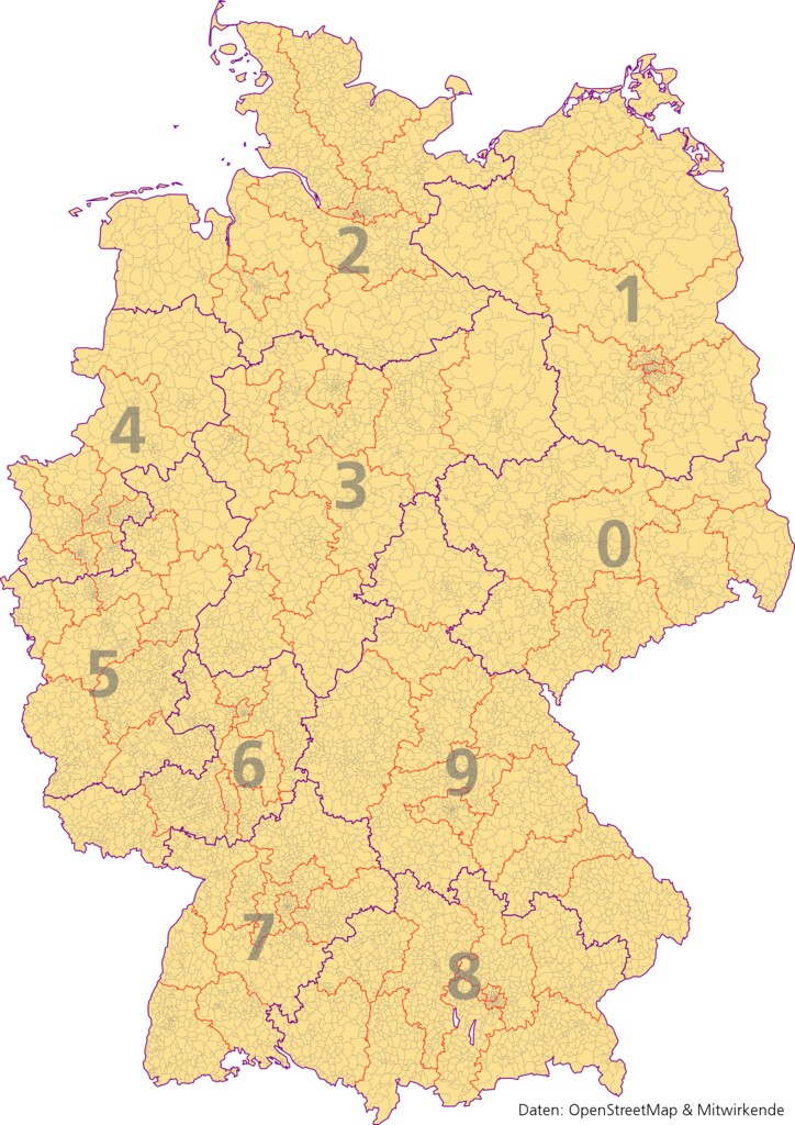
Karte der Postleitzahlengebiete und -regionen in Deutschland in approximierter Darstellung (Datenstand: 2013-12-23) Ersteller: Gehrke, Aimpulse Intelligent Systems GmbH
Licensing
- This media file was uploaded by author of the work and its copyright holder.
![]()
![]()
![]()
This work is licensed under the Creative Commons Attribution-ShareAlike 2.0 License.
Attribution: Gehrke
Attribution: Gehrke
What is the license of data used to create it?
| Contains map data © OpenStreetMap contributors, made available under the terms of the Open Database License (ODbL).
The ODbL does not require any particular license for maps produced from ODbL data, produced maps may be subject also to other licences. |
File history
Click on a date/time to view the file as it appeared at that time.
| Date/Time | Thumbnail | Dimensions | User | Comment | |
|---|---|---|---|---|---|
| current | 10:24, 23 December 2013 | | 1,481 × 2,094 (2.3 MB) | Gehrke (talk | contribs) | Aktualsiiert auf Status 2013-12-23 PLZ-Zonen eingezeichnet und notiert |
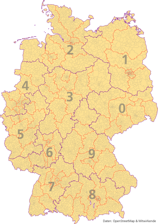
| 12:36, 2 December 2013 |  | 1,480 × 2,093 (2.3 MB) | Gehrke (talk | contribs) | Karte der Postleitzahlengebiete und -regionen in Deutschland (Datenstand: 2013-12-01) Ersteller: Aimpulse Intelligent Systems GmbH |
You cannot overwrite this file.
File usage
The following 3 pages use this file: