File:2014 Bolivian Floods Chapare Cochabamba 20140207 022405.png
Jump to navigation
Jump to search

No higher resolution available.
2014_Bolivian_Floods_Chapare_Cochabamba_20140207_022405.png (479 × 441 pixels, file size: 56 KB, MIME type: image/png)
Information
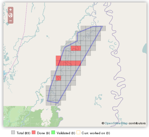
| Description | Tarea HOT Task 417 was created to map Chapare Zone in Cochabamba and the surrounding areas in response to Bolivian Floods. |
|---|---|
| Author | Screenshot by 51114u9 |
| Source | http://tasks.hotosm.org/job/417 |
| Date | 2014-02-07 |
| Permission | CC BY-SA 2.0 |
Licensing
| Contains map data © OpenStreetMap contributors, made available under the terms of the Open Database License (ODbL).
The ODbL does not require any particular license for maps produced from ODbL data, produced maps may be subject also to other licences. |
| Contains map tiles in Humanitarian map style, a stylesheet designed by Yohan Boniface and others in the Humanitarian OSM Team, published on github with a CC0 license. |
![]()
![]()
![]()
This work is licensed under the Creative Commons Attribution-ShareAlike 2.0 License.
Attribution: Screenshot by Marco Antonio Frias
Attribution: Screenshot by Marco Antonio Frias
File history
Click on a date/time to view the file as it appeared at that time.
| Date/Time | Thumbnail | Dimensions | User | Comment | |
|---|---|---|---|---|---|
| current | 06:29, 7 February 2014 | | 479 × 441 (56 KB) | Smaug (talk | contribs) |
You cannot overwrite this file.
File usage
The following page uses this file: