File:Accuracy vs existing housing traces.png
Jump to navigation
Jump to search


Size of this preview: 800 × 511 pixels. Other resolutions: 320 × 204 pixels | 640 × 409 pixels | 1,024 × 654 pixels | 1,280 × 818 pixels | 1,885 × 1,204 pixels.
Original file (1,885 × 1,204 pixels, file size: 738 KB, MIME type: image/png)
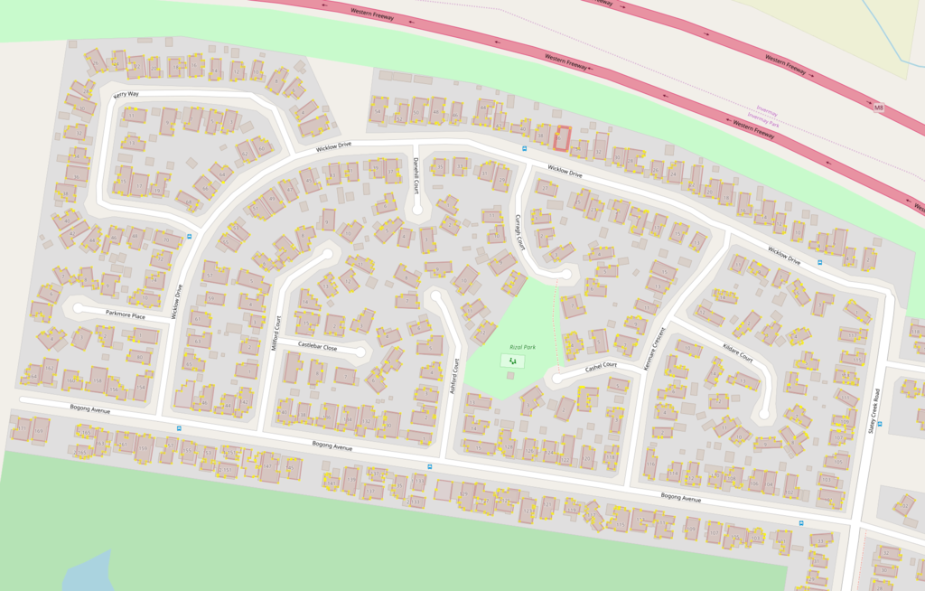
A comparison of new data to existing tracing JOSM screeshot, but JOSM elements are Template:PD-shape
Licensing
![]()
![]()
This screenshot contains OpenStreetMap Carto rendering.
The OpenStreetMap Carto map style is made available under the Creative Commons CC-0 1.0 Universal Public Domain Dedication.
- Attribution to the map data:
| Contains map data © OpenStreetMap contributors, made available under the terms of the Open Database License (ODbL).
The ODbL does not require any particular license for maps produced from ODbL data, produced maps may be subject also to other licences. |
File history
Click on a date/time to view the file as it appeared at that time.
| Date/Time | Thumbnail | Dimensions | User | Comment | |
|---|---|---|---|---|---|
| current | 18:12, 23 December 2018 | | 1,885 × 1,204 (738 KB) | CloCkWeRX (talk | contribs) |
You cannot overwrite this file.
File usage
The following page uses this file: