File:Churns stand Tullahought.png
Jump to navigation
Jump to search

Size of this preview: 800 × 479 pixels. Other resolutions: 320 × 192 pixels | 640 × 383 pixels | 1,024 × 613 pixels | 1,280 × 767 pixels | 3,000 × 1,797 pixels.
Original file (3,000 × 1,797 pixels, file size: 10.55 MB, MIME type: image/png)
This file and its description are from Wikimedia Commons.
Summary
| Description |
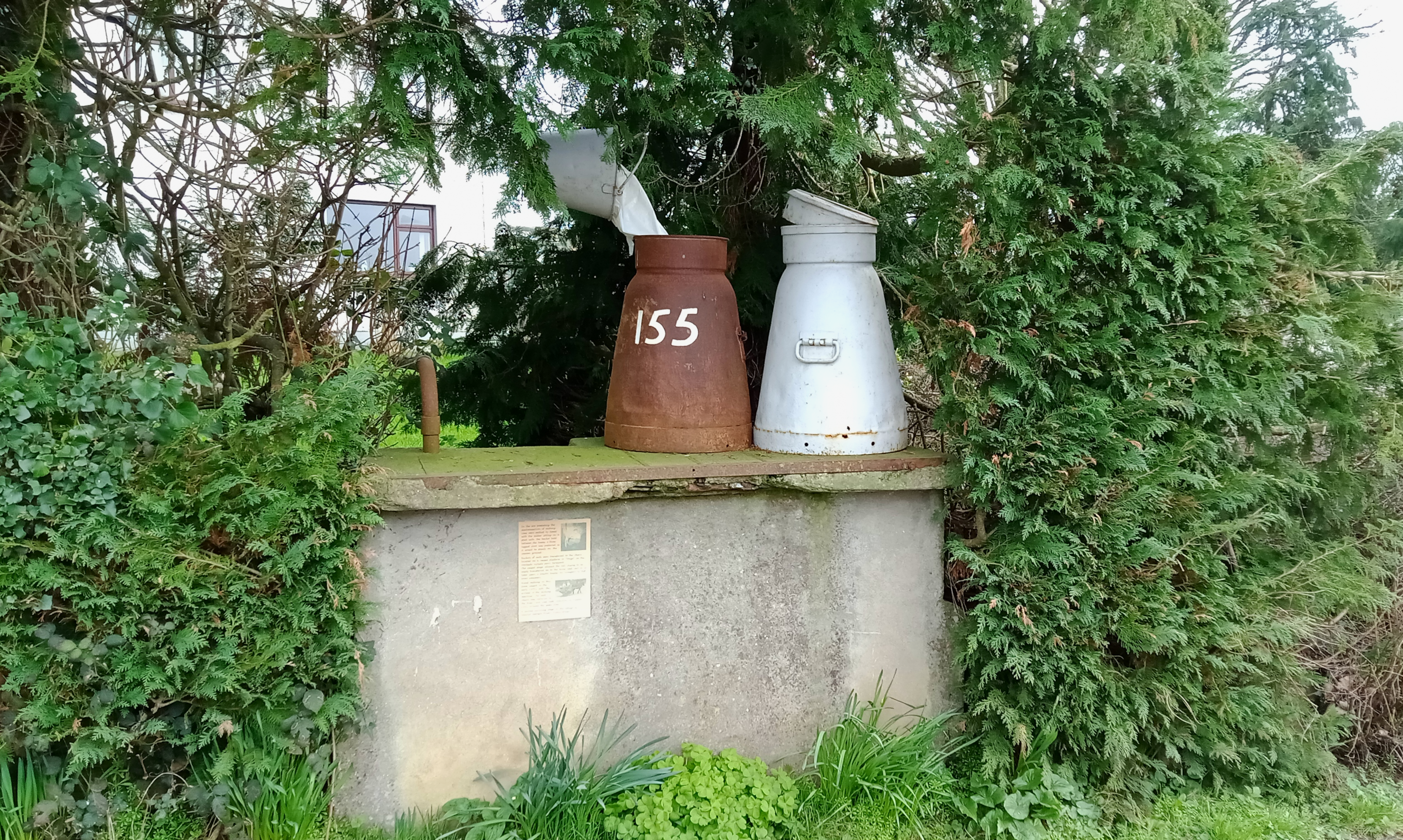
English: One of two surviving milk churn stands or stages in Tullahought, Co. Kilkenny. According to the sign, milking by hand seized in the early 1970s on this farm. It served the creamery in Windgap.
|
||
| Date | |||
| Source | Own work | ||
| Author | A.-K. D. |
| Camera location | | View this and other nearby images on: OpenStreetMap |
|---|
Licensing
I, the copyright holder of this work, hereby publish it under the following license:
| This file is made available under the Creative Commons CC0 1.0 Universal Public Domain Dedication. | |
| The person who associated a work with this deed has dedicated the work to the public domain by waiving all of their rights to the work worldwide under copyright law, including all related and neighboring rights, to the extent allowed by law. You can copy, modify, distribute and perform the work, even for commercial purposes, all without asking permission.
|
This image was uploaded as part of Wiki Loves Folklore 2023 photographic contest. Other languages:
|
File history
Click on a date/time to view the file as it appeared at that time.
| Date/Time | Thumbnail | Dimensions | User | Comment | |
|---|---|---|---|---|---|
| current | 19:28, 5 March 2023 | | 3,000 × 1,797 (10.55 MB) | wikimediacommons>A.-K. D. | Uploaded own work with UploadWizard |
File usage
The following 3 pages use this file: