File:Covered area.png
Jump to navigation
Jump to search

Size of this preview: 424 × 600 pixels. Other resolutions: 170 × 240 pixels | 339 × 480 pixels | 543 × 768 pixels | 724 × 1,024 pixels | 2,480 × 3,507 pixels.
Original file (2,480 × 3,507 pixels, file size: 6.46 MB, MIME type: image/png)
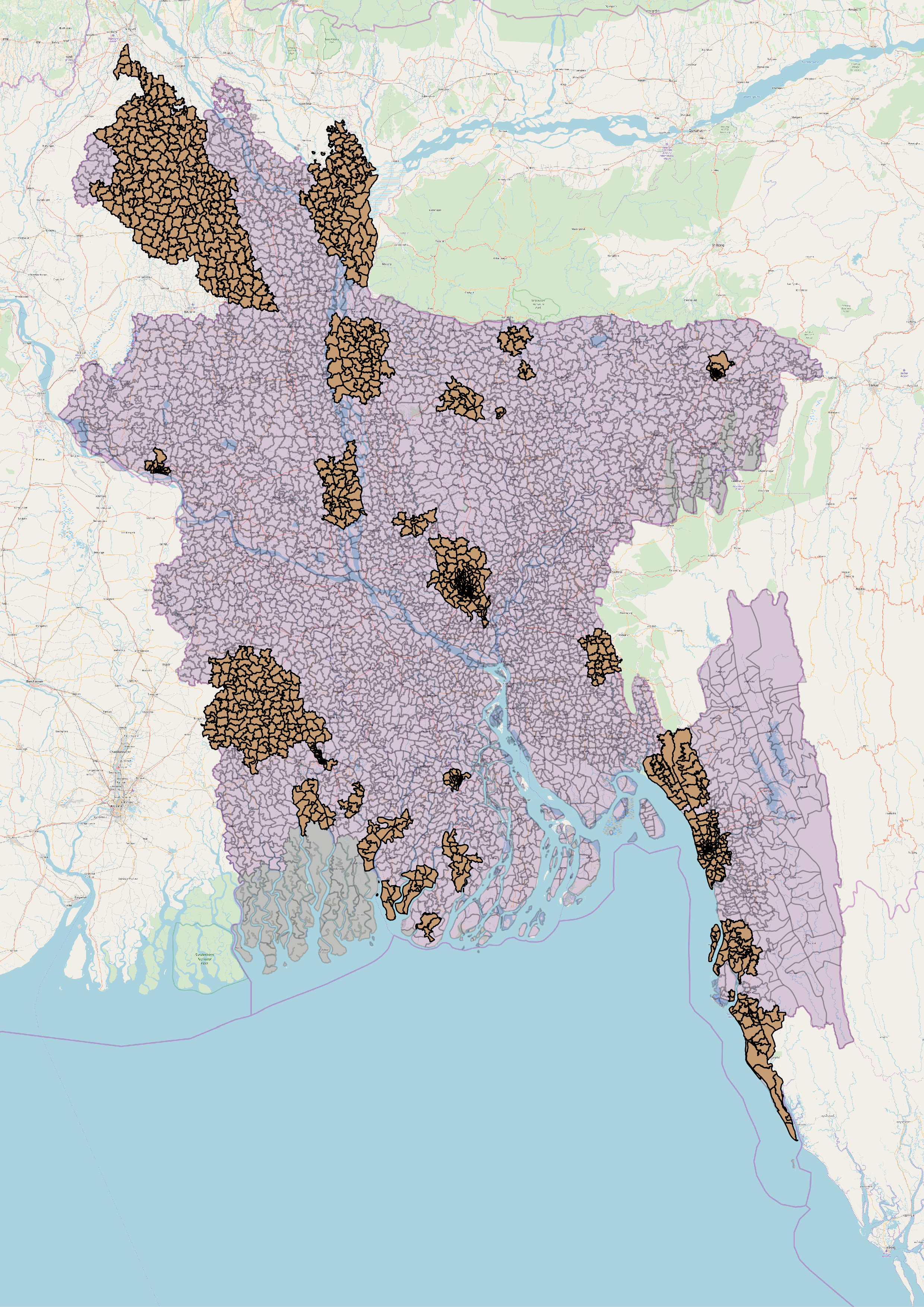
Total Coverage Area 18% in bangladesh from May 20, 2017
File history
Click on a date/time to view the file as it appeared at that time.
| Date/Time | Thumbnail | Dimensions | User | Comment | |
|---|---|---|---|---|---|
| current | 09:52, 7 August 2018 | | 2,480 × 3,507 (6.46 MB) | Sawan Shariar (talk | contribs) |
You cannot overwrite this file.
File usage
The following 2 pages use this file: