File:E Biddle St Brownfields OSM Carto.png
Jump to navigation
Jump to search


Size of this preview: 800 × 396 pixels. Other resolutions: 320 × 158 pixels | 640 × 317 pixels | 1,441 × 713 pixels.
Original file (1,441 × 713 pixels, file size: 441 KB, MIME type: image/png)
Summary
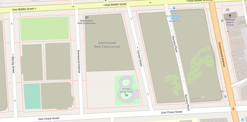
| Description | Example of some mapped brownfield land in Baltimore, Maryland, United States |
|---|---|
| Author | OpenStreetMap Contributors |
| Source | Screenshot taken by uploader |
| Date | 2022-09-30 |
Licensing
![]()
![]()
This screenshot contains OpenStreetMap Carto rendering.
The OpenStreetMap Carto map style is made available under the Creative Commons CC-0 1.0 Universal Public Domain Dedication.
- Attribution to the map data:
| Contains map data © OpenStreetMap contributors, made available under the terms of the Open Database License (ODbL).
The ODbL does not require any particular license for maps produced from ODbL data, produced maps may be subject also to other licences. |
File history
Click on a date/time to view the file as it appeared at that time.
| Date/Time | Thumbnail | Dimensions | User | Comment | |
|---|---|---|---|---|---|
| current | 22:21, 30 September 2022 | | 1,441 × 713 (441 KB) | Bgo eiu (talk | contribs) | {{Information | description=Example of some mapped brownfield land in Baltimore, Maryland, United States | source=Screenshot taken by uploader | date=2022-09-30 | author=Uploader | permission=CC0 per OSM Carto screenshot guidelines | other_versions= }} |
You cannot overwrite this file.
File usage
The following 4 pages use this file: