File:ITO Map - Speed limits Major roads KPH.png
Jump to navigation
Jump to search


Size of this preview: 800 × 146 pixels. Other resolution: 1,131 × 206 pixels.
Original file (1,131 × 206 pixels, file size: 399 KB, MIME type: image/png)
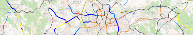
ITO Map overlay showing the speed limits on major roads (motorway, trunk and primary) in km/h.
![]()
Contains map data © OpenStreetMap contributors, made available under the terms of the Creative Commons Attribution-ShareAlike 2.0 (CC-BY-SA-2.0).
File history
Click on a date/time to view the file as it appeared at that time.
| Date/Time | Thumbnail | Dimensions | User | Comment | |
|---|---|---|---|---|---|
| current | 21:37, 3 March 2011 | 1,131 × 206 (399 KB) | PeterIto (talk | contribs) | ITO Map overlay showing the speed limits on major roads (motorway, trunk and primary) in km/h. |
You cannot overwrite this file.
File usage
The following 3 pages use this file: