File:Jt osm grenzstein hl tremskamp.jpg
Jump to navigation
Jump to search

No higher resolution available.
Jt_osm_grenzstein_hl_tremskamp.jpg (402 × 600 pixels, file size: 89 KB, MIME type: image/jpeg)
Summary
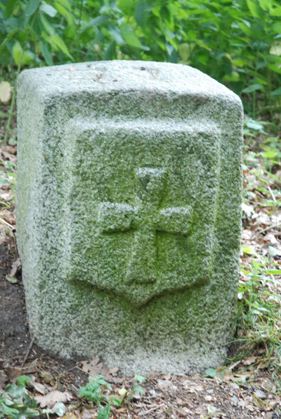
Grenzstein am Tremskamp zwischen Lübeck und Bad Schwartau
Licensing
![]()
This file has been released into the public domain by the copyright holder, its copyright has expired, or it is ineligible for copyright. This applies worldwide.
Please, please use more specific template such as {{PD-self}} / {{PD-creator}} / {{PD-shape}} / {{PD-USGov}} / {{PD-old}} / {{PD-RU-exempt}} ... This template is not making clear why this work is in the public domain.
Please, please use more specific template such as {{PD-self}} / {{PD-creator}} / {{PD-shape}} / {{PD-USGov}} / {{PD-old}} / {{PD-RU-exempt}} ... This template is not making clear why this work is in the public domain.
File history
Click on a date/time to view the file as it appeared at that time.
| Date/Time | Thumbnail | Dimensions | User | Comment | |
|---|---|---|---|---|---|
| current | 08:41, 7 February 2012 | | 402 × 600 (89 KB) | Lübeck (talk | contribs) | Grenzstein am Tremskamp zwischen Lübeck und Bad Schwartau |
You cannot overwrite this file.
File usage
The following 17 pages use this file:
- Cs:Key:format
- Historical Objects/Map Properties
- Key:format
- Pl:Historical Objects/Map Properties
- Pt:Historical Objects/Características do mapa
- User:Saerdnaer/Tag/test
- User:Zecke/Objets historiques
- Wiki:Files used by data items/2
- DE:Historical Objects/Karteneigenschaften
- DE:Key:format
- DE:Tag:historic=boundary stone
- DE:User:Saerdnaer/Tag/test
- FR:Historical Objects/Attributs
- FR:Key:format
- RU:Исторические объекты/Свойства карты
- JA:Historical Objects/Map Properties
- JA:Key:format