File:KT13 Area.3.png
Jump to navigation
Jump to search

No higher resolution available.
KT13_Area.3.png (499 × 536 pixels, file size: 134 KB, MIME type: image/png)
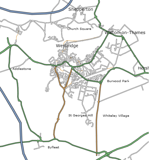
Weybridge and surrounding area as at 15th March 2006. Used the 0.2 api to get XML which was then transformed using XSL to SVG which was then rendered in Firefox 1.5, a screenshot was then taken and saved as a png file using GIMP.
![]()
Contains map data © OpenStreetMap contributors, made available under the terms of the Creative Commons Attribution-ShareAlike 2.0 (CC-BY-SA-2.0).
File history
Click on a date/time to view the file as it appeared at that time.
| Date/Time | Thumbnail | Dimensions | User | Comment | |
|---|---|---|---|---|---|
| current | 09:25, 15 March 2006 | | 499 × 536 (134 KB) | 80n (talk | contribs) | Weybridge and surrounding area as at 15th March 2006. Used the 0.2 api to get XML which was then transformed using XSL to SVG which was then rendered in Firefox 1.5, a screenshot was then taken and saved as a png file using GIMP. |
You cannot overwrite this file.
File usage
The following page uses this file: