File:NCN Millennium Milepost MP699 North Seaton Northumberland.jpeg
Jump to navigation
Jump to search


Size of this preview: 450 × 600 pixels. Other resolutions: 180 × 240 pixels | 360 × 480 pixels | 576 × 768 pixels | 768 × 1,024 pixels | 2,448 × 3,264 pixels.
Original file (2,448 × 3,264 pixels, file size: 4.85 MB, MIME type: image/jpeg)
This file and its description are from Wikimedia Commons.
Summary
| Description |
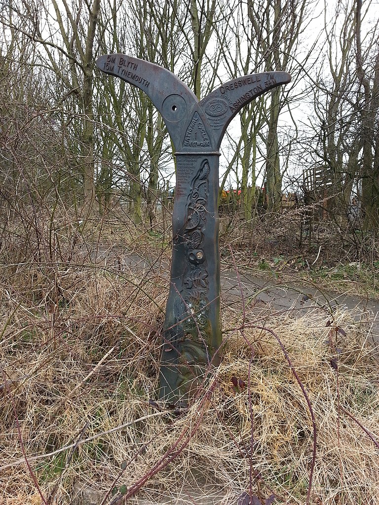
English: National Cycle Route 1 sign on path adjacent to A189 |
| Date | |
| Source | From geograph.org.uk |
| Author | Clive Nicholson |
| Permission (Reusing this file) |
Creative Commons Attribution Share-alike license 2.0 |
| Attribution (required by the license) | Clive Nicholson / National Cycle Route 1 sign on path adjacent to A189 / |
| Camera location | | View this and other nearby images on: OpenStreetMap |
|---|
_heading:270.00&language=en)
| Object location | | View this and other nearby images on: OpenStreetMap |
|---|
_heading:270.00&language=en)
Licensing

|
This image was taken from the Geograph project collection. See this photograph's page on the Geograph website for the photographer's contact details. The copyright on this image is owned by Clive Nicholson and is licensed for reuse under the Creative Commons Attribution-ShareAlike 2.0 license.
|
This file is licensed under the Creative Commons Attribution-Share Alike 2.0 Generic license.
Attribution: Clive Nicholson
- You are free:
- to share – to copy, distribute and transmit the work
- to remix – to adapt the work
- Under the following conditions:
- attribution – You must give appropriate credit, provide a link to the license, and indicate if changes were made. You may do so in any reasonable manner, but not in any way that suggests the licensor endorses you or your use.
- share alike – If you remix, transform, or build upon the material, you must distribute your contributions under the same or compatible license as the original.
File history
Click on a date/time to view the file as it appeared at that time.
| Date/Time | Thumbnail | Dimensions | User | Comment | |
|---|---|---|---|---|---|
| current | 17:18, 22 November 2019 | | 2,448 × 3,264 (4.85 MB) | wikimediacommons>Twwosm | == {{int:filedesc}} == {{Information |Description={{en|1=National Cycle Route 1 sign on path adjacent to A189}} |Source=From [https://www.geograph.org.uk/photo/4382672 geograph.org.uk] |Date=2015-03-08 |Author=[https://www.geograph.org.uk/profile/534 Clive Nicholson] |Permission=Creative Commons Attribution Share-alike license 2.0 |Other fields={{Credit line |Author=Clive Nicholson |License=[https://creativecommons.org/licenses/by-sa/2.0/ CC BY-SA 2.0] |Other=''National Cycle Route 1 sign... |
File usage
The following page uses this file: