File:Naftali Mountains Scenic Road 2.JPG
Jump to navigation
Jump to search


Size of this preview: 800 × 533 pixels. Other resolutions: 320 × 213 pixels | 640 × 427 pixels | 1,024 × 683 pixels | 1,280 × 853 pixels | 2,560 × 1,707 pixels | 4,608 × 3,072 pixels.
Original file (4,608 × 3,072 pixels, file size: 8.6 MB, MIME type: image/jpeg)
This file and its description are from Wikimedia Commons.
Summary
| Description |
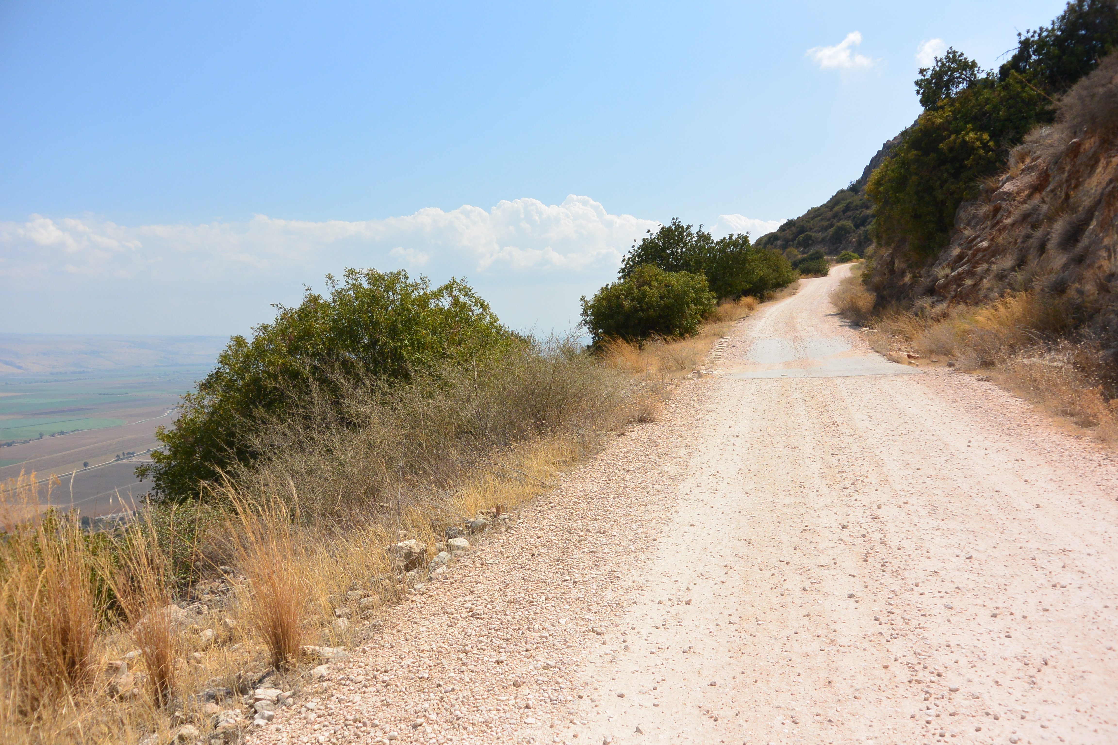
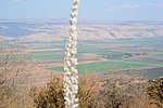
Deutsch: Ein Pfad am Hang der Naftali Mountains. Es war eigentlich zu heiß zum Wandern.
English: A path at the Naftali Mountains slope. It was really too hot for hiking. |
| Date | |
| Source | Own work |
| Author | Jotpe |
| Place[1] | Deutsch: Israel National Trail, Mevoot HaHermon Regional Council, Nordbezirk, Israel English: Israel National Trail, Mevoot HaHermon Regional Council, North District, Israel עברית: שביל ישראל, מועצה אזורית מבואות החרמון, מחוז הצפון, ישראל |
| Image Number | 110 |
| Height | 466 |
| Camera location | | View this and other nearby images on: OpenStreetMap |
|---|
next
-
 Naftali Mountains Scenic Road.JPG
 -
 Naftali Mountains Scenic Road 2.JPG
 -
 Northern view to Keren Naftali.JPG
 -
 Red dirt road.JPG
 -
 View over Hula Valley.JPG
 -
 Short-toed snake eagle over Naftali Mountains.JPG


The production, editing or release of this file was supported by the Community-Budget of Wikimedia Deutschland. To see other files made with the support of Wikimedia Deutschland, please see the category Supported by Wikimedia Deutschland. |
Licensing
I, the copyright holder of this work, hereby publish it under the following license:
This file is licensed under the Creative Commons Attribution-Share Alike 4.0 International license.
- You are free:
- to share – to copy, distribute and transmit the work
- to remix – to adapt the work
- Under the following conditions:
- attribution – You must give appropriate credit, provide a link to the license, and indicate if changes were made. You may do so in any reasonable manner, but not in any way that suggests the licensor endorses you or your use.
- share alike – If you remix, transform, or build upon the material, you must distribute your contributions under the same or compatible license as the original.
Deutsch: Informationen aus diesem Dokument/Foto können expliziet für Openstreetmap verwendet werden. Als Share-Alike reicht mir User jotpe @ Wikimedia Commons: Naftali Mountains Scenic Road 2.JPG in der Source-Angabe beim Upload der OSM-Daten.
English: Information in this document / photo can be expliziet used for OpenStreetMap. Share-Alike is fullfilled by User jotpe @ Wikimedia Commons: Naftali Mountains Scenic Road 2.JPG in the source field specified on upload of OSM data.
Sources
File history
Click on a date/time to view the file as it appeared at that time.
| Date/Time | Thumbnail | Dimensions | User | Comment | |
|---|---|---|---|---|---|
| current | 06:40, 8 February 2015 | | 4,608 × 3,072 (8.6 MB) | wikimediacommons>Jotpe |
File usage
The following page uses this file: