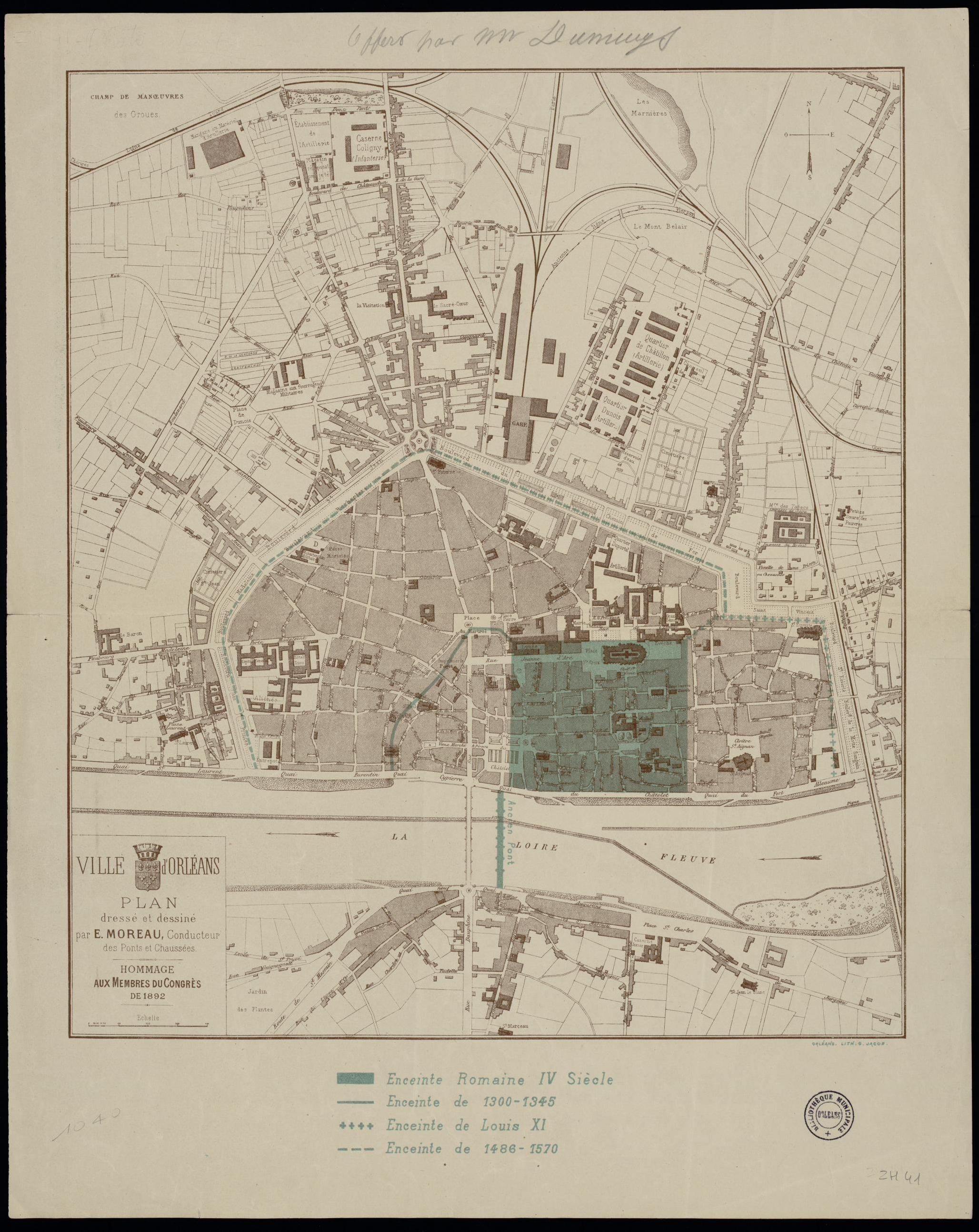
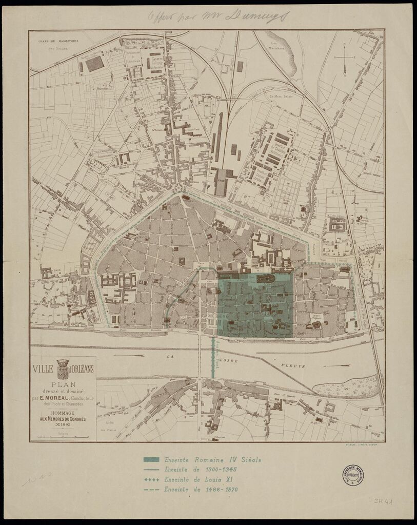
File:Plan d'Orléans, enceintes, Romaine IV siècle - 1300 - 1570.jpg
Jump to navigation
Jump to search

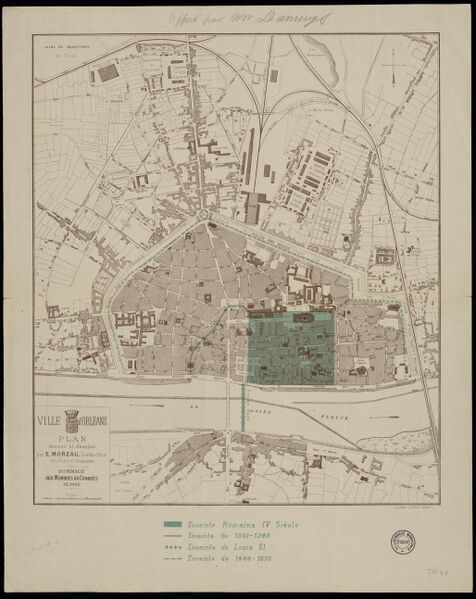
Size of this preview: 476 × 599 pixels. Other resolutions: 191 × 240 pixels | 381 × 480 pixels | 610 × 768 pixels | 813 × 1,024 pixels | 2,056 × 2,588 pixels.
Original file (2,056 × 2,588 pixels, file size: 847 KB, MIME type: image/jpeg)
Summary
| Description | Plan d'Orléans, enceintes, Romaine IV siècle - 1300 - 1570 |
|---|---|
| Author | inconnu |
| Source | https://mediatheques.orleans-metropole.fr/ark:/77916/ORL726012/v0001.simple.selectedTab=record |
| Date | 300 - 1570 |
Licensing
![]()
This file is in a public domain because the copyrightable material in it is so old that the copyright to it is expired.
File history
Click on a date/time to view the file as it appeared at that time.
| Date/Time | Thumbnail | Dimensions | User | Comment | |
|---|---|---|---|---|---|
| current | 12:02, 24 May 2023 | | 2,056 × 2,588 (847 KB) | Eric Bie (talk | contribs) | {{Information | description=Plan d'Orléans, enceintes, Romaine IV siècle - 1300 - 1570 | source=https://mediatheques.orleans-metropole.fr/ark:/77916/ORL726012/v0001.simple.selectedTab=record | date=300 - 1570 | author=inconnu | other_versions= }} |
You cannot overwrite this file.
File usage
The following page uses this file: