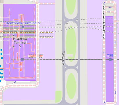
File:Rendering-aeroway-terminal-mapnik.png
Jump to navigation
Jump to search

No higher resolution available.
Rendering-aeroway-terminal-mapnik.png (413 × 364 pixels, file size: 442 KB, MIME type: image/png)
Licensing
![]()
![]()
This screenshot contains OpenStreetMap Carto rendering.
The OpenStreetMap Carto map style is made available under the Creative Commons CC-0 1.0 Universal Public Domain Dedication.
- Attribution to the map data:
| Contains map data © OpenStreetMap contributors, made available under the terms of the Open Database License (ODbL).
The ODbL does not require any particular license for maps produced from ODbL data, produced maps may be subject also to other licences. |
File history
Click on a date/time to view the file as it appeared at that time.
| Date/Time | Thumbnail | Dimensions | User | Comment | |
|---|---|---|---|---|---|
| current | 20:20, 4 June 2015 | | 413 × 364 (442 KB) | Rza31 (talk | contribs) | |
| 07:18, 12 May 2009 |  | 417 × 402 (15 KB) | UrSuS (talk | contribs) |
You cannot overwrite this file.