File:Schneeschuh und Tourenski Wegweiser.jpg
Jump to navigation
Jump to search

Size of this preview: 448 × 599 pixels. Other resolutions: 179 × 240 pixels | 359 × 480 pixels | 574 × 768 pixels | 766 × 1,024 pixels | 1,532 × 2,048 pixels | 2,992 × 4,000 pixels.
Original file (2,992 × 4,000 pixels, file size: 5.38 MB, MIME type: image/jpeg)
This file and its description are from Wikimedia Commons.
Summary
| Description |
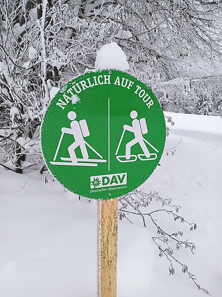
Deutsch: Schneeschuh- und Tourenski-Wegweiser im Wintersportgebiet Rusel und Geißkopf, einzeln, aber auch in Kombination mit den Sommer-Wanderwegweisern. Aufgestellt, um Wintersportler auf ausgeschilderten Wegen zu halten. |
| Date | |
| Source | Own work |
| Author | APneunzehn74 |
| Camera location | | View this and other nearby images on: OpenStreetMap |
|---|
Licensing
I, the copyright holder of this work, hereby publish it under the following license:
| This file is made available under the Creative Commons CC0 1.0 Universal Public Domain Dedication. | |
| The person who associated a work with this deed has dedicated the work to the public domain by waiving all of their rights to the work worldwide under copyright law, including all related and neighboring rights, to the extent allowed by law. You can copy, modify, distribute and perform the work, even for commercial purposes, all without asking permission.
|
File history
Click on a date/time to view the file as it appeared at that time.
| Date/Time | Thumbnail | Dimensions | User | Comment | |
|---|---|---|---|---|---|
| current | 19:03, 3 December 2023 | | 2,992 × 4,000 (5.38 MB) | wikimediacommons>APneunzehn74 | Uploaded own work with UploadWizard |
File usage
The following page uses this file: