File:Uganda-Zoom 14-Screenshot 2021-01-21 OpenStreetMap.png
Jump to navigation
Jump to search

Size of this preview: 800 × 409 pixels. Other resolutions: 320 × 164 pixels | 640 × 327 pixels | 978 × 500 pixels.
Original file (978 × 500 pixels, file size: 554 KB, MIME type: image/png)
Summary
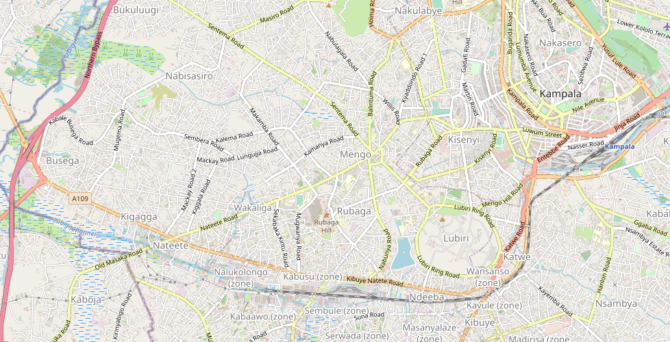
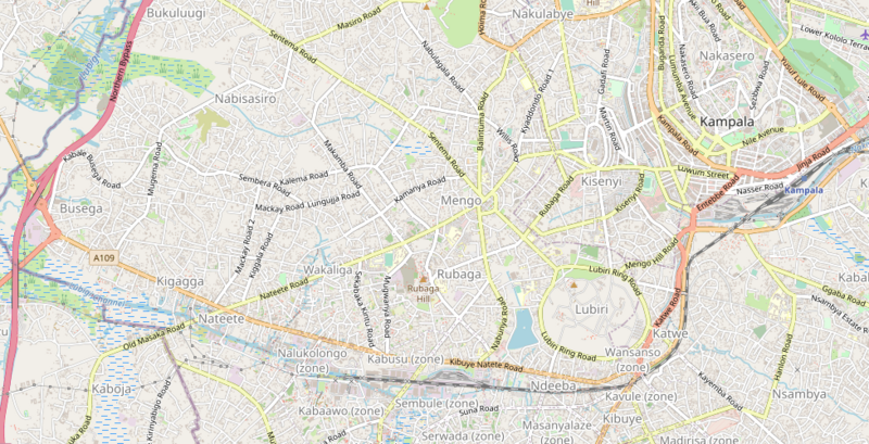
Uganda shown at zoom level 14. Used as an example for mapping strategies.
Licensing
| Contains map data © OpenStreetMap contributors, made available under the terms of the Open Database License (ODbL).
The ODbL does not require any particular license for maps produced from ODbL data, produced maps may be subject also to other licences. |
File history
Click on a date/time to view the file as it appeared at that time.
| Date/Time | Thumbnail | Dimensions | User | Comment | |
|---|---|---|---|---|---|
| current | 07:59, 21 January 2021 | | 978 × 500 (554 KB) | Bert Araali (talk | contribs) | Uganda shown at zoom level 14. Used as an example for mapping strategies. |
You cannot overwrite this file.
File usage
The following page uses this file: