File:2008-09-07 GermanRailNetwork.jpg
Original file (2,000 × 2,711 pixels, file size: 982 KB, MIME type: image/jpeg)
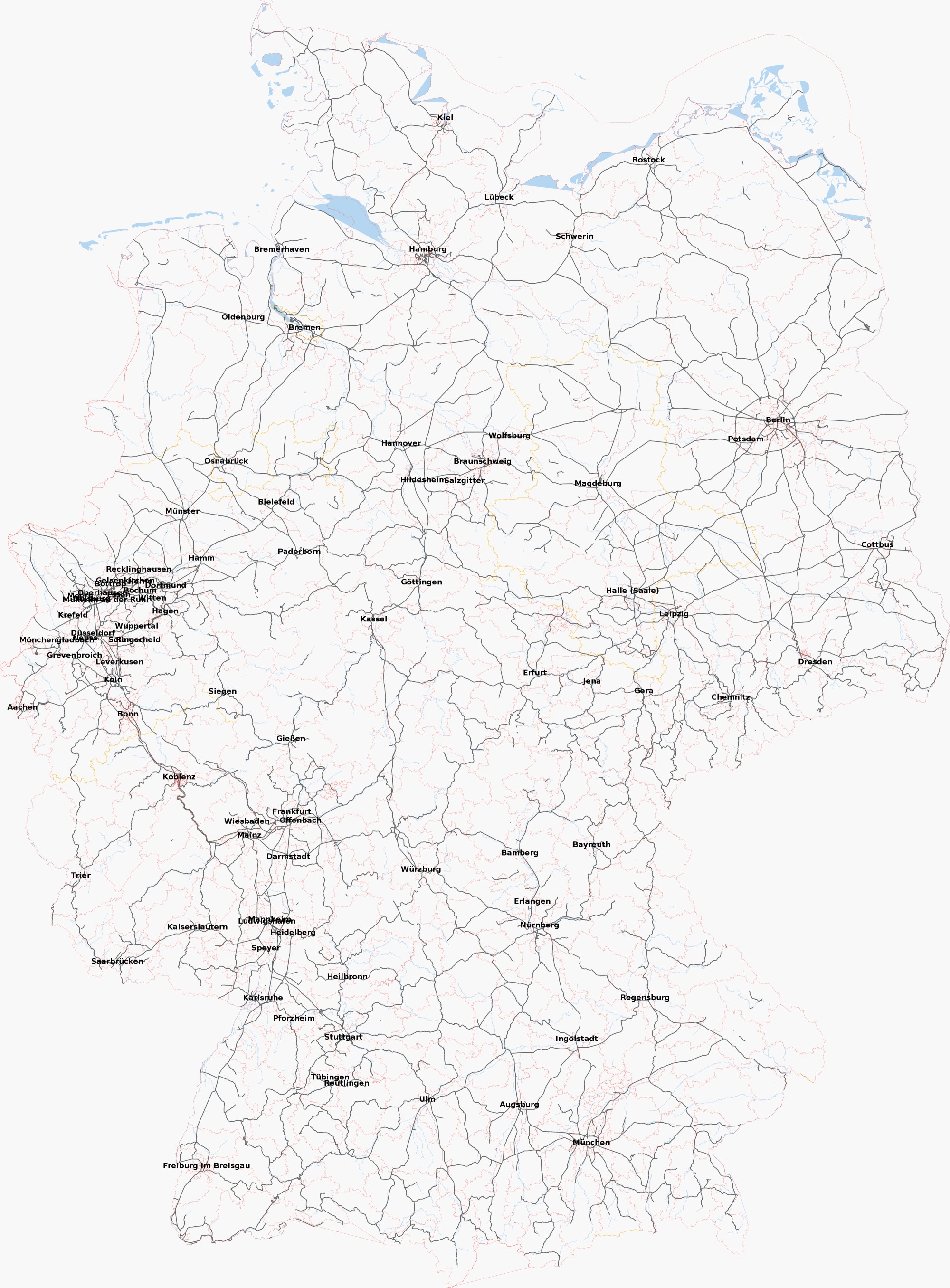
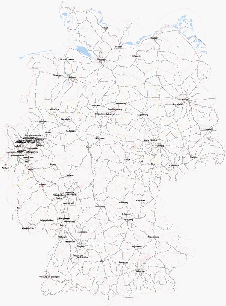
German Railway Network, based on OSM data of September 7, 2008.
It is derived from full OSM data dump of Germany which was filtered through an adapted planetosm-excerpt-tags.pl. Apart from railway nodes and ways, everything except nodes tagged with "place=city" and ways that go by "boundary=administrative", "waterway=river", "place=state", "place=region" and "natural=coastline" has been taken out of the source file. The amount of OSM data was thereby shrinked from 2.4 GB to 97 MB which was then passed on to osmarender (with default settings, zoom level 8).
I know it's way off being perfect, but it's a start for more railway maps to come. ;-)
![]()
File history
Click on a date/time to view the file as it appeared at that time.
| Date/Time | Thumbnail | Dimensions | User | Comment | |
|---|---|---|---|---|---|
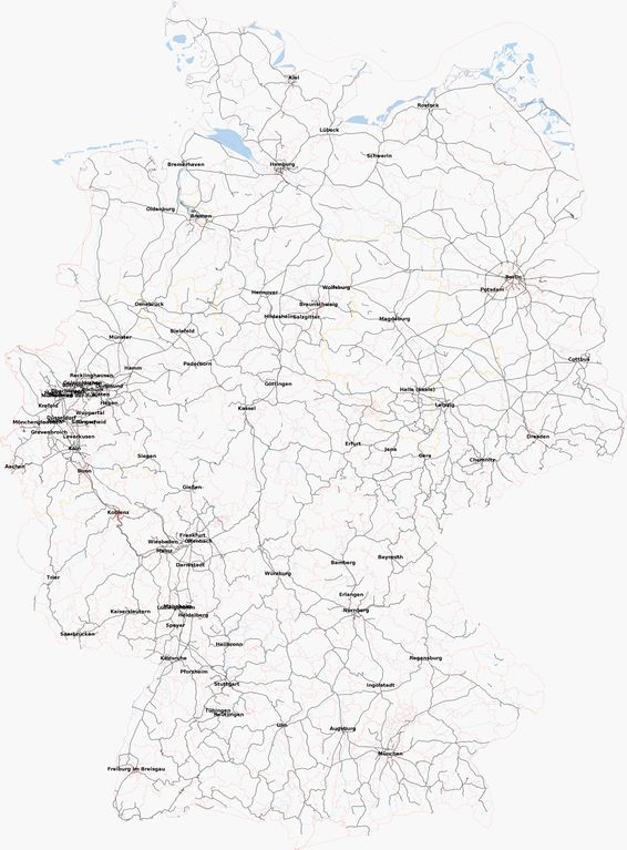
| current | 16:04, 8 September 2008 | | 2,000 × 2,711 (982 KB) | Bigbug21 (talk | contribs) | German Railway Network, based on OSM data of September 7, 2008. It is derived from [http://download.geofabrik.de/osm/europe/germany.osm.bz2 full OSM data dump of Germany] which was filtered through an adapted [http://svn.openstreetmap.org/applications/ut |
You cannot overwrite this file.
File usage
The following 2 pages use this file: