File:AND-SouthNetherlands.png
Jump to navigation
Jump to search


Size of this preview: 781 × 599 pixels. Other resolutions: 313 × 240 pixels | 625 × 480 pixels | 1,001 × 768 pixels | 1,024 × 786 pixels.
Original file (1,024 × 786 pixels, file size: 180 KB, MIME type: image/png)
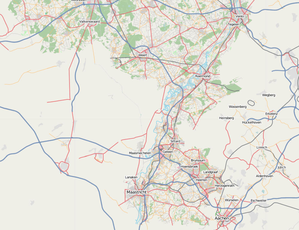
The south of the Netherlands after the AND import with contrast the rather empty parts of Belgium and Germany.
This is a Featured image, which means that it has been identified as one of the best examples of OpenStreetMap mapping, or that it provides a useful illustration of the OpenStreetMap project. If you know another image of similar quality, you can nominate it on Featured image proposals.
Front-page image on 06 Oct 2007
Licensing
![]()
Contains map data © OpenStreetMap contributors, made available under the terms of the Creative Commons Attribution-ShareAlike 2.0 (CC-BY-SA-2.0).
File history
Click on a date/time to view the file as it appeared at that time.
| Date/Time | Thumbnail | Dimensions | User | Comment | |
|---|---|---|---|---|---|
| current | 20:50, 25 September 2007 | | 1,024 × 786 (180 KB) | Mdeen (talk | contribs) | The south of the Netherlands after the AND import with contrast the rather empty parts of Belgium and Germany. |
You cannot overwrite this file.
File usage
The following 3 pages use this file: