File:Antibes.png
Jump to navigation
Jump to search

Size of this preview: 458 × 600 pixels. Other resolutions: 183 × 240 pixels | 469 × 614 pixels.
Original file (469 × 614 pixels, file size: 159 KB, MIME type: image/png)
![]()
![]()
![]()
This is a tiles@home screenshot, showing OSM data using one of map styles. This work is licensed under the Creative Commons Attribution-ShareAlike 2.0 License by OpenStreetMap contributors for pictures before license change, and vast majority (likely all) tiles@home screenshots predate license change.
Please do not use this template for rare cases (if any) of ODbL OSM data rendered with tiles@home styling
Please do not use this template for rare cases (if any) of ODbL OSM data rendered with tiles@home styling
File history
Click on a date/time to view the file as it appeared at that time.
| Date/Time | Thumbnail | Dimensions | User | Comment | |
|---|---|---|---|---|---|
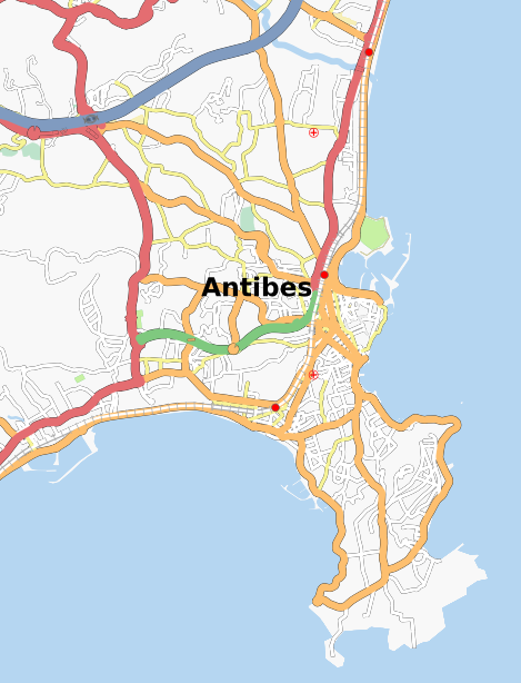
| current | 19:29, 4 January 2008 | | 469 × 614 (159 KB) | Jocelyn (talk | contribs) | Map of Antibes (France) |
You cannot overwrite this file.
File usage
There are no pages that use this file.