File:B10groetzb.jpg
Jump to navigation
Jump to search

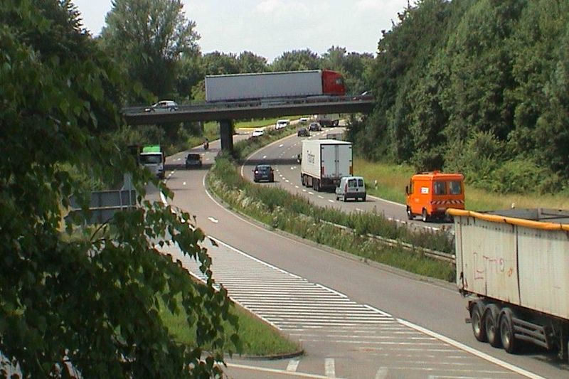
Size of this preview: 800 × 533 pixels. Other resolutions: 320 × 213 pixels | 640 × 426 pixels | 1,005 × 669 pixels.
Original file (1,005 × 669 pixels, file size: 99 KB, MIME type: image/jpeg)
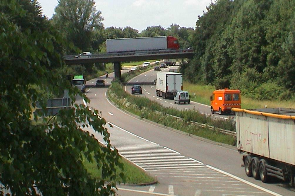
De: Bsp. für Straßenklassifizierung: Kreuz B 3 / B 10 En: example for highway tags
Source: own photography 2009-06-18
License: CC-BY-NC-SA
Place: B 10 Karlsruhe-Grötzingen
File history
Click on a date/time to view the file as it appeared at that time.
| Date/Time | Thumbnail | Dimensions | User | Comment | |
|---|---|---|---|---|---|
| current | 15:45, 18 June 2009 | | 1,005 × 669 (99 KB) | Mueck (talk | contribs) | De: Bsp. für Straßenklassifizierung: Kreuz B 3 / B 10 En: example for highway tags Source: own photography 2009-06-18 License: CC-BY-NC-SA Place: B 10 Karlsruhe-Grötzingen :http://www.openstreetmap.org/?lat=49.00651&lon=8.48844&zoom=17&layers=0B00F |
You cannot overwrite this file.
File usage
The following page uses this file: