File:Cape Town and inner suburbs.png
Jump to navigation
Jump to search

No higher resolution available.
Cape_Town_and_inner_suburbs.png (734 × 476 pixels, file size: 324 KB, MIME type: image/png)
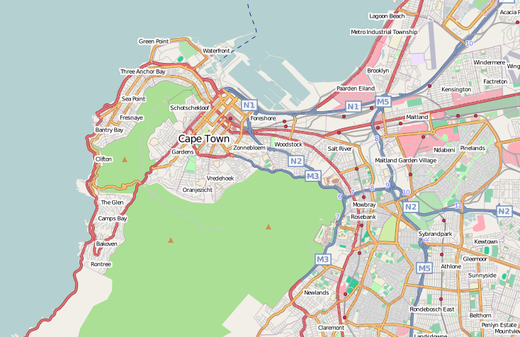
Map of Cape Town
This map and others like it, were created by OpenStreetmap contributors, and are licensed as Creative Commons CC-BY-SA 2.0 (https://creativecommons.org/licenses/by-sa/2.0/) (see OpenStreetMap licence).
Use {{mapof|PlaceName}} to add this template to your images.
This map and others like it, were created by OpenStreetmap contributors, and are licensed as Creative Commons CC-BY-SA 2.0 (https://creativecommons.org/licenses/by-sa/2.0/) (see OpenStreetMap licence).
Use {{mapof|PlaceName}} to add this template to your images.
This map shows the city of Cape Town and some of its inner suburbs. The area shown in this map is effectively completely mapped in OpenStreetMap with respect to roads and railways.
File history
Click on a date/time to view the file as it appeared at that time.
| Date/Time | Thumbnail | Dimensions | User | Comment | |
|---|---|---|---|---|---|
| current | 20:10, 11 June 2008 | | 734 × 476 (324 KB) | Htonl (talk | contribs) | update |
| 16:12, 28 May 2008 | 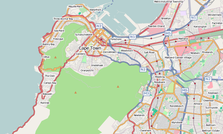 | 720 × 434 (297 KB) | Htonl (talk | contribs) | better sized version | |
| 15:59, 28 May 2008 | 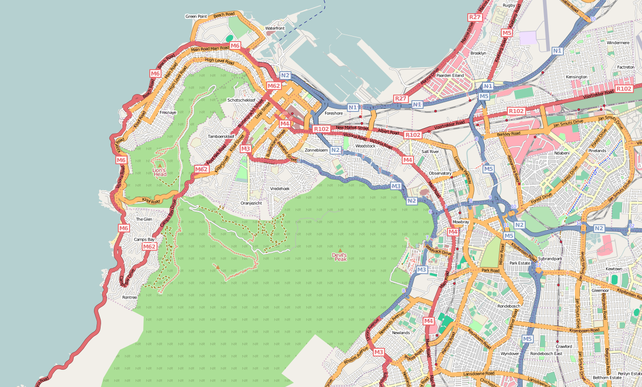 | 1,264 × 761 (796 KB) | Htonl (talk | contribs) | {{mapof|Cape Town}} |
You cannot overwrite this file.
File usage
The following page uses this file: