File:Deutschland vs. Holland an der Ems.jpg
Jump to navigation
Jump to search

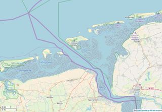
Size of this preview: 800 × 555 pixels. Other resolutions: 320 × 222 pixels | 640 × 444 pixels | 932 × 646 pixels.
Original file (932 × 646 pixels, file size: 346 KB, MIME type: image/jpeg)
Summary
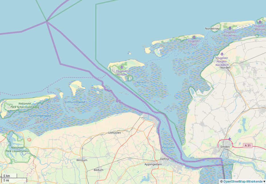
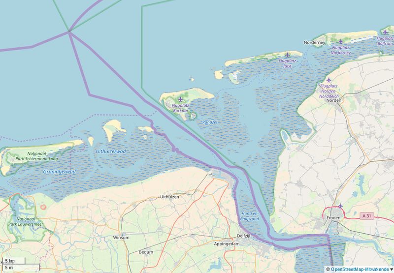
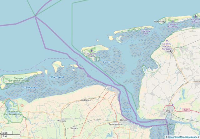
Deutsch: Zwei abweichende Staatsgrenzen an der Ems zwischen Dollart und Nordsee. Dargestellt sind die nach deutsche und die niederländische Grenzauffassung, siehe Deutsch-Niederländische Grenzfrage.
English: Two divergent national borders on the Ems between the Dollart and the North Sea. The German and Dutch border conceptions are shown.
Licensing
| Contains map data © OpenStreetMap contributors, made available under the terms of the Open Database License (ODbL).
The ODbL does not require any particular license for maps produced from ODbL data, produced maps may be subject also to other licences. |
File history
Click on a date/time to view the file as it appeared at that time.
| Date/Time | Thumbnail | Dimensions | User | Comment | |
|---|---|---|---|---|---|
| current | 16:04, 21 January 2018 | | 932 × 646 (346 KB) | Hb (talk | contribs) | Zwei Staatsgrenzen nach deutscher und nach niederländischer Grenzauffassung an der Ems zwischen Dollart und Nordsee, siehe [http://de.wikipedia.org/wiki/Deutsch-Niederändische_Grenzfrage]. |
You cannot overwrite this file.
File usage
The following page uses this file: