File:ETrex on a boundary stone.JPG
Jump to navigation
Jump to search

Size of this preview: 603 × 599 pixels. Other resolutions: 242 × 240 pixels | 483 × 480 pixels | 773 × 768 pixels | 1,031 × 1,024 pixels | 2,319 × 2,304 pixels.
Original file (2,319 × 2,304 pixels, file size: 1.9 MB, MIME type: image/jpeg)
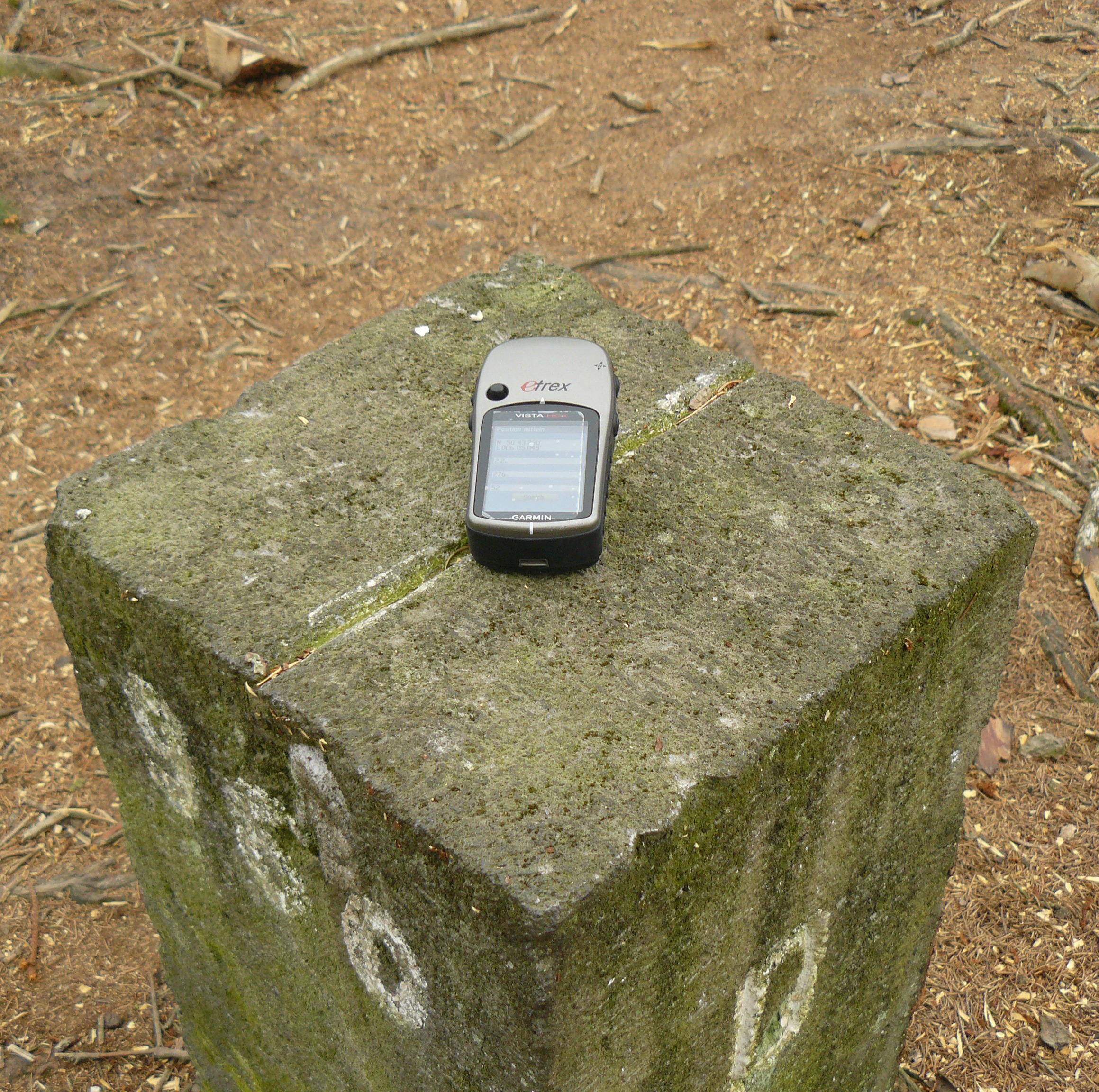
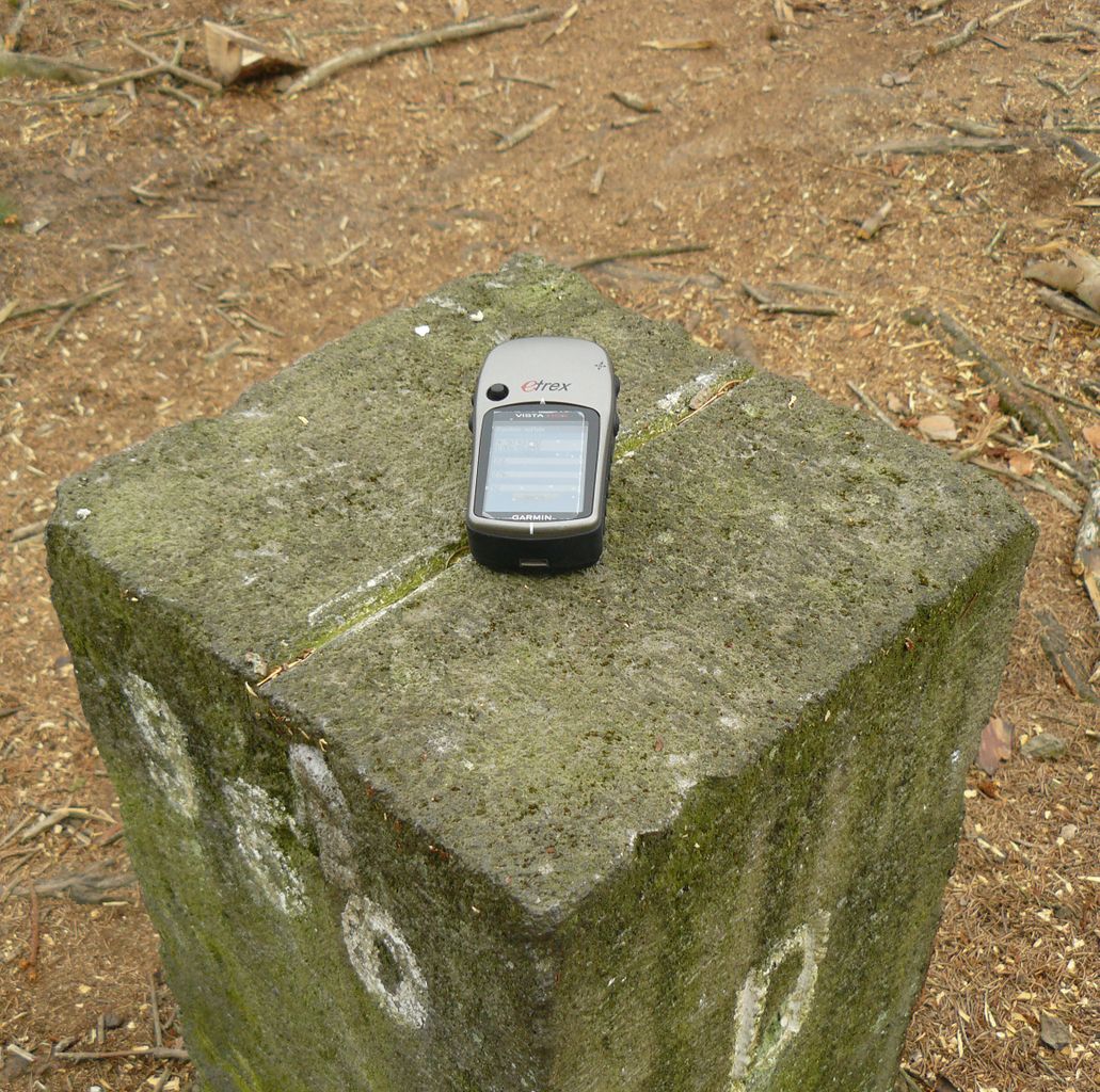
Determining the position of a boundary stone (on the border between Belgium and Germany) using a Garmin eTrex Vista HCx GPS device as an example of mapping "point-like" objects.
Uploadey by Oli-Wan; licensed CC-BY to allow for use by the press team.
File history
Click on a date/time to view the file as it appeared at that time.
| Date/Time | Thumbnail | Dimensions | User | Comment | |
|---|---|---|---|---|---|
| current | 11:29, 31 March 2011 | | 2,319 × 2,304 (1.9 MB) | Oli-Wan (talk | contribs) | Determining the position of a boundary stone (on the border between Belgium and Germany) using a Garmin eTrex Vista HCx GPS device as an example of mapping "point-like" objects. Uploadey by Oli-Wan; licensed CC-BY to allow for use by the press team. |
You cannot overwrite this file.
File usage
The following page uses this file: