File:Girona SOTM map.png
Jump to navigation
Jump to search


Size of this preview: 755 × 600 pixels. Other resolutions: 302 × 240 pixels | 604 × 480 pixels | 967 × 768 pixels | 1,280 × 1,017 pixels.
Original file (1,280 × 1,017 pixels, file size: 1.09 MB, MIME type: image/png)
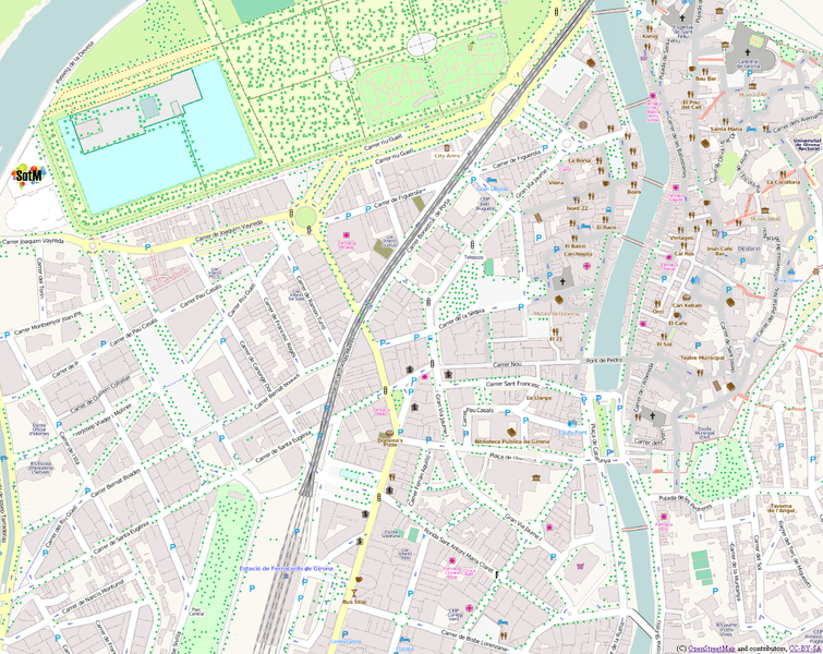
printer-ink friendly map of the centre of Girona showing State Of The Map 2010 venue. Click the "full resolution" link before printing.
Somebody should do something more clever as a proper rendering, output to SVG/PDF. This is just photoshopping the image a bit. [[Category:Mapnik Rendering Examples]
File history
Click on a date/time to view the file as it appeared at that time.
| Date/Time | Thumbnail | Dimensions | User | Comment | |
|---|---|---|---|---|---|
| current | 01:58, 8 July 2010 | | 1,280 × 1,017 (1.09 MB) | Harry Wood (talk | contribs) | printer-ink friendly map of the centre of Girona showing SOTM venue |
You cannot overwrite this file.
File usage
The following page uses this file: