File:Hamilton County conflated buildings.png
Jump to navigation
Jump to search

Size of this preview: 800 × 547 pixels. Other resolutions: 320 × 219 pixels | 640 × 437 pixels | 1,024 × 700 pixels | 1,298 × 887 pixels.
Original file (1,298 × 887 pixels, file size: 736 KB, MIME type: image/png)
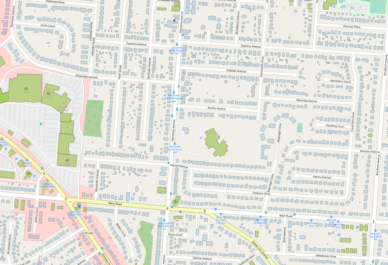
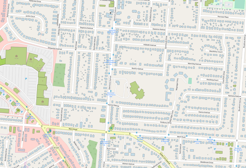
Sample map showing buildings already in OSM (green) and those to be imported (blue).
File history
Click on a date/time to view the file as it appeared at that time.
| Date/Time | Thumbnail | Dimensions | User | Comment | |
|---|---|---|---|---|---|
| current | 17:33, 21 October 2018 | | 1,298 × 887 (736 KB) | Nate Wessel (talk | contribs) |
You cannot overwrite this file.
File usage
The following 2 pages use this file: