File:Hoydedata no.png
Jump to navigation
Jump to search


Size of this preview: 408 × 599 pixels. Other resolutions: 163 × 240 pixels | 327 × 480 pixels | 523 × 768 pixels | 1,206 × 1,772 pixels.
Original file (1,206 × 1,772 pixels, file size: 1.22 MB, MIME type: image/png)
Summary
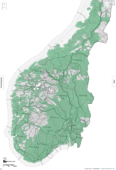
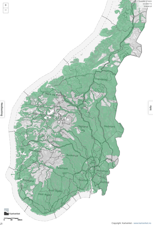
Screen grab for hoydedata.no, showing the LIDAR coverage in Norway
Licensing
| Contains map data © OpenStreetMap contributors, made available under the terms of the Open Database License (ODbL).
The ODbL does not require any particular license for maps produced from ODbL data, produced maps may be subject also to other licences. |
File history
Click on a date/time to view the file as it appeared at that time.
| Date/Time | Thumbnail | Dimensions | User | Comment | |
|---|---|---|---|---|---|
| current | 13:53, 5 August 2019 | | 1,206 × 1,772 (1.22 MB) | Sssandum (talk | contribs) | Updated coverage, taken 19-08-05 |
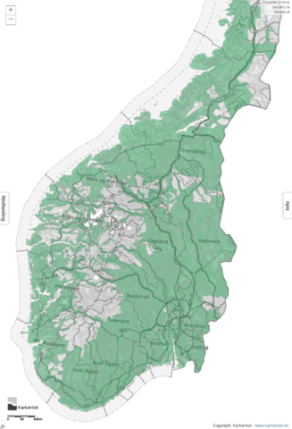
| 14:13, 8 April 2018 | 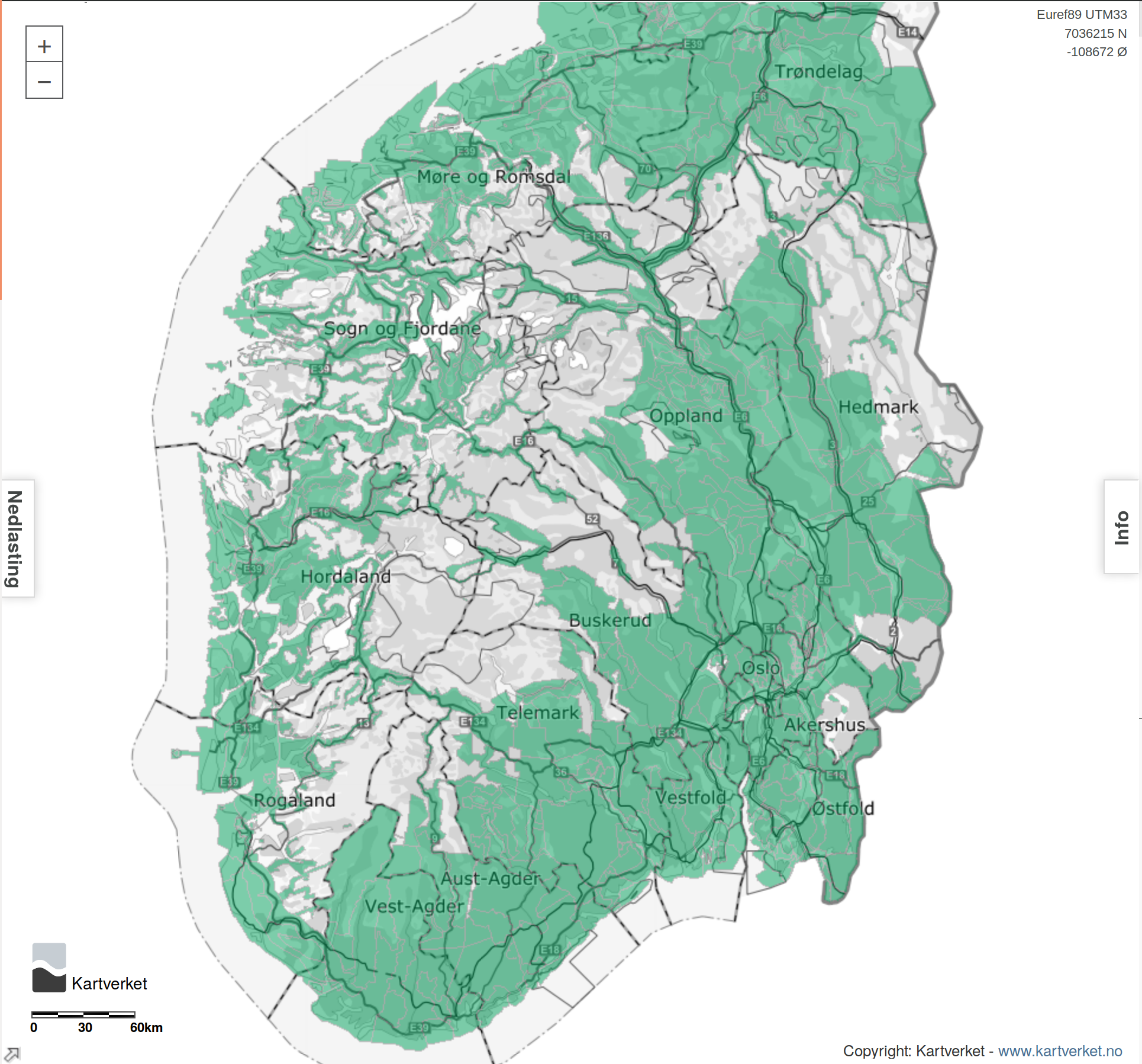 | 1,930 × 1,798 (1.58 MB) | FredrikLindseth (talk | contribs) | Screen grab for Høydata.no, showing the LIDAR coverage in Norway |
You cannot overwrite this file.
File usage
The following page uses this file: