File:JAXA-ALOS-PALSAR 2010-01-16.png
Jump to navigation
Jump to search

No higher resolution available.
JAXA-ALOS-PALSAR_2010-01-16.png (397 × 573 pixels, file size: 34 KB, MIME type: image/png)
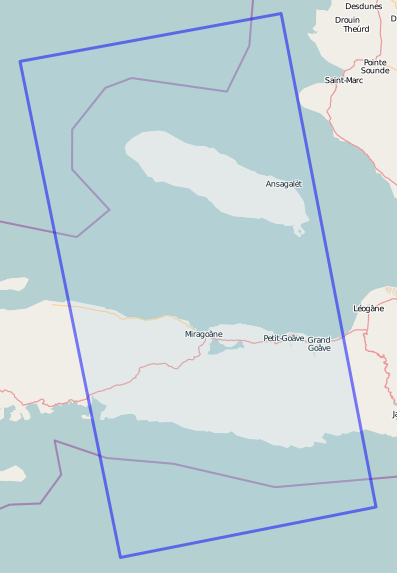
Screen-shot of Potlatch showing boundary drawn in JOSM by tracing the edge of imagery from the ALOS/PALSAR satellite under the auspices of JAXA on 16 January 2010. The imagery was downloaded in JOSM at a zoom of 30 km for tracing. The link to the boundary way is http://www.openstreetmap.org/browse/way/49395405 .
File history
Click on a date/time to view the file as it appeared at that time.
| Date/Time | Thumbnail | Dimensions | User | Comment | |
|---|---|---|---|---|---|
| current | 04:39, 3 February 2010 | | 397 × 573 (34 KB) | Ceyockey (talk | contribs) | replacement image of proper boundaries |
| 04:34, 3 February 2010 | 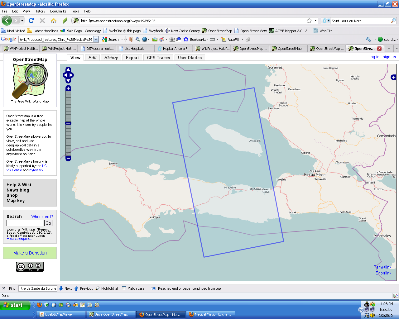 | 1,280 × 1,024 (244 KB) | Ceyockey (talk | contribs) | Screen-shot of Potlatch showing boundary drawn in JOSM by tracing the edge of imagery from the ALOS/PALSAR satellite under the auspices of JAXA on 16 January 2010. The imagery was downloaded in JOSM at a zoom of 30 km for tracing. The link to the bounda |
You cannot overwrite this file.
File usage
The following page uses this file: