File:Jezdecké stezky Podralskem 1.JPG
Jump to navigation
Jump to search

Size of this preview: 800 × 600 pixels. Other resolutions: 320 × 240 pixels | 640 × 480 pixels | 1,024 × 768 pixels | 1,280 × 960 pixels | 2,592 × 1,944 pixels.
Original file (2,592 × 1,944 pixels, file size: 2.26 MB, MIME type: image/jpeg)
This file and its description are from Wikimedia Commons.
Summary
| Description |
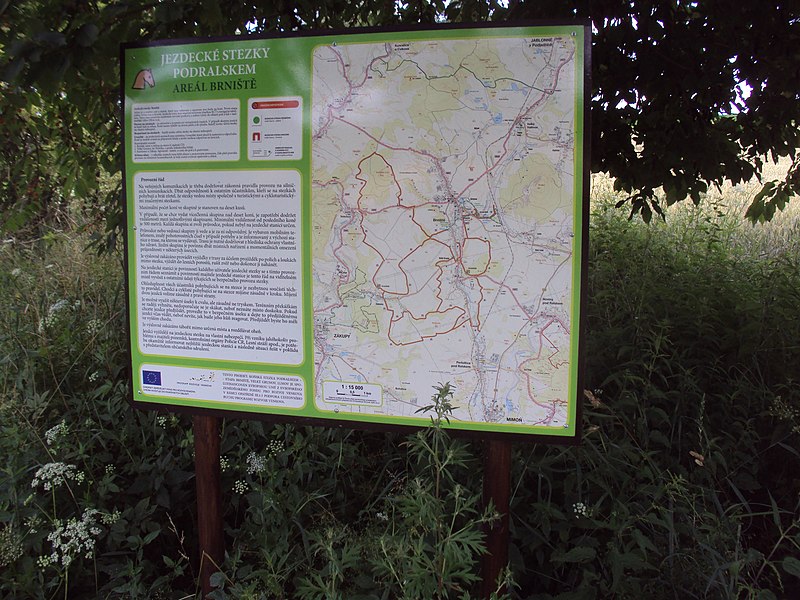
Čeština: Tabule Jezdecké stezky Podralskem, tato na okraji obce Kamenice |
| Date | |
| Source | Own work |
| Author | Zákupák |
| Object location | | View this and other nearby images on: OpenStreetMap |
|---|
Licensing
| I, the copyright holder of this work, release this work into the public domain. This applies worldwide. In some countries this may not be legally possible; if so: I grant anyone the right to use this work for any purpose, without any conditions, unless such conditions are required by law. |
File history
Click on a date/time to view the file as it appeared at that time.
| Date/Time | Thumbnail | Dimensions | User | Comment | |
|---|---|---|---|---|---|
| current | 08:30, 14 July 2013 | | 2,592 × 1,944 (2.26 MB) | wikimediacommons>Zákupák | {{Information |Description ={{cs|1=Tabule Jezdecké stezky Podralskem, tato na okraji obce Kamenice}} |Source ={{own}} |Author =Zákupák |Date =2013-07-13 |Permission = |other_versions = }} {{object ... |
File usage
The following 5 pages use this file: