File:Mapping north korea 2019-06-04.png
Jump to navigation
Jump to search

No higher resolution available.
Mapping_north_korea_2019-06-04.png (719 × 545 pixels, file size: 93 KB, MIME type: image/png)
Summary
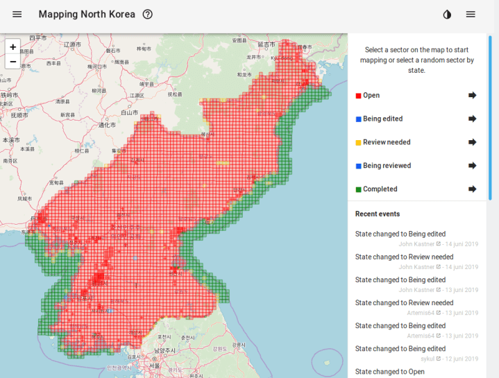
Mapping North Korea as of June 4 2019
File history
Click on a date/time to view the file as it appeared at that time.
| Date/Time | Thumbnail | Dimensions | User | Comment | |
|---|---|---|---|---|---|
| current | 15:09, 21 November 2020 | | 719 × 545 (93 KB) | Artemis64 (talk | contribs) | Mapping North Korea as of June 4 2019 |
You cannot overwrite this file.
File usage
The following 3 pages use this file: