File:Nrcanprotected areas atlas canada.jpg
Jump to navigation
Jump to search

Size of this preview: 800 × 469 pixels. Other resolutions: 320 × 188 pixels | 640 × 375 pixels.
Original file (1,024 × 600 pixels, file size: 118 KB, MIME type: image/jpeg)
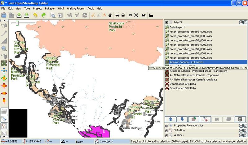
Of the Pacific Rim National park area on Vancouver Island, BC, Canada, Earth
Licensing
![]()
This file is a screenshot of the software JOSM, with imagery in background. It may include OpenStreetMap data, in such case ODbL license also applies.
![]()
"JOSM" (Java OpenStreetMap Editor – josm.openstreetmap.de) is free software released under the terms of the GNU General Public License as published by the Free Software Foundation; either version 2 of the license, or any later version.
License of imagery not specified! [→ template]
Data displayed: noneFile history
Click on a date/time to view the file as it appeared at that time.
| Date/Time | Thumbnail | Dimensions | User | Comment | |
|---|---|---|---|---|---|
| current | 09:28, 7 April 2010 | | 1,024 × 600 (118 KB) | Acrosscanadatrails (talk | contribs) | Of the Pacific Rim National park area on Vancouver Island, BC, Canada, Earth |
You cannot overwrite this file.
File usage
The following page uses this file: