File:Osmarender-airport-EKCH.gif
Jump to navigation
Jump to search
Size of this preview: 800 × 566 pixels. Other resolutions: 320 × 226 pixels | 640 × 453 pixels | 1,052 × 744 pixels.
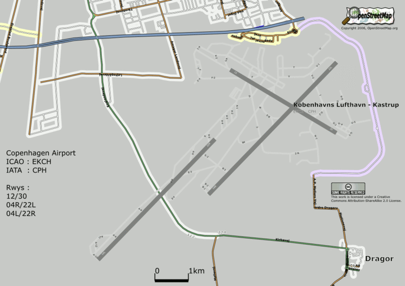
Original file (1,052 × 744 pixels, file size: 91 KB, MIME type: image/gif, 0.1 s)
Preliminary test of Airport rendering with Osmarender2. Copenhagen Airport. Runway data taken from the Danish Civil Aviation Administration's AIP for EKCH (http://www.slv.dk/Dokumenter/dscgi/ds.py/Get/File-1559/EK_AD_2_EKCH_en.pdf) Taxiway data including names taken from the ADC for EKCH, same site as above)
![]()
Contains map data © OpenStreetMap contributors, made available under the terms of the Creative Commons Attribution-ShareAlike 2.0 (CC-BY-SA-2.0).
File history
Click on a date/time to view the file as it appeared at that time.
| Date/Time | Thumbnail | Dimensions | User | Comment | |
|---|---|---|---|---|---|
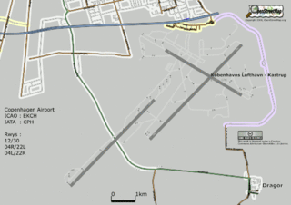
| current | 09:04, 20 August 2006 | | 1,052 × 744 (91 KB) | Dutch (talk | contribs) | |
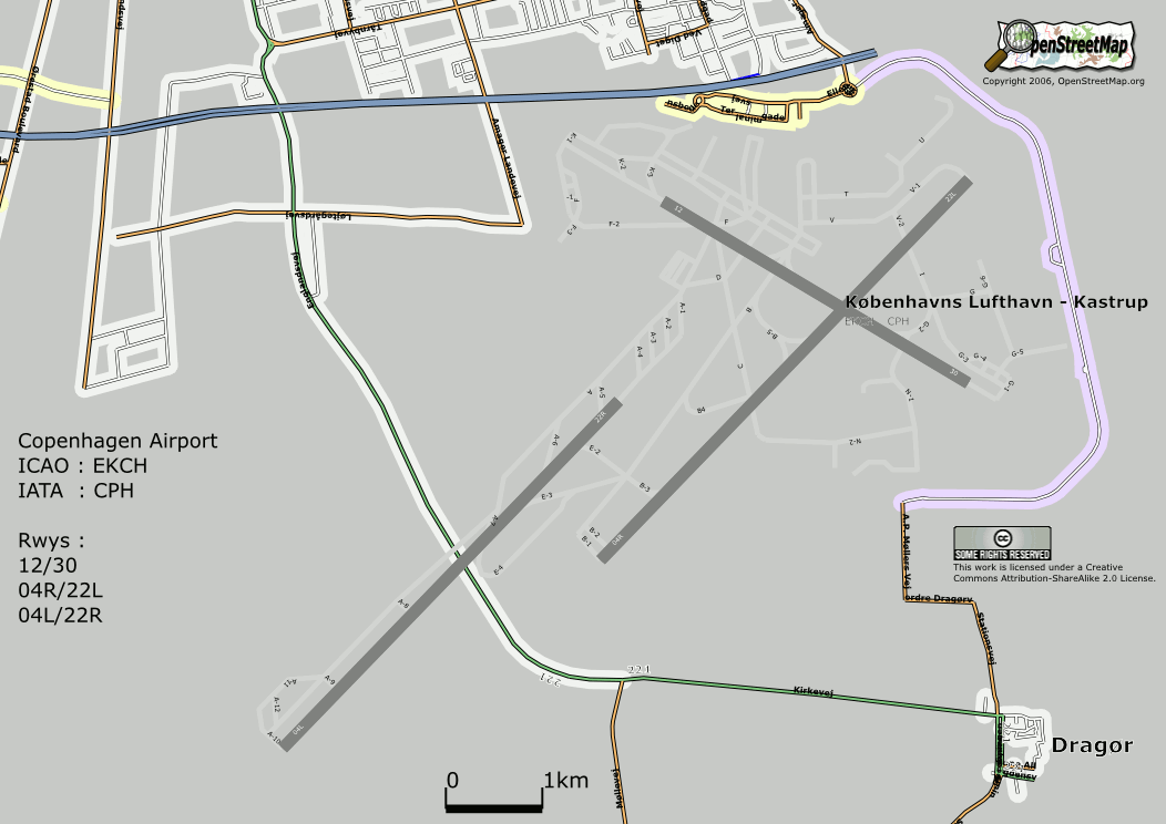
| 23:22, 18 August 2006 | 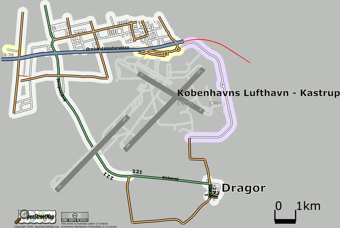 | 1,109 × 743 (87 KB) | Dutch (talk | contribs) | Preliminary test of Airport rendering with Osmarender2. Copenhagen Airport. Runway data taken from the Danish Civil Aviation Administration's AIP for EKCH. (http://www.slv.dk/Dokumenter/dscgi/ds.py/Get/File-1559/EK_AD_2_EKCH_en.pdf) Taxiway data including | |
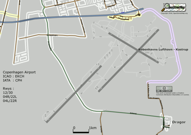
| 01:28, 18 August 2006 | 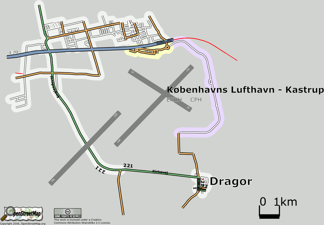 | 1,044 × 725 (67 KB) | Dutch (talk | contribs) | Preliminary test of Airport rendering with Osmarender2. Copenhagen Airport. Runway data taken from the Danish Civil Aviation Administration's AIP for EKCH (http://www.slv.dk/Dokumenter/dscgi/ds.py/Get/File-1559/EK_AD_2_EKCH_en.pdf) |
You cannot overwrite this file.
File usage
The following 4 pages use this file: