File:PBL Hasenheide.jpg
Jump to navigation
Jump to search


Size of this preview: 800 × 585 pixels. Other resolutions: 320 × 234 pixels | 640 × 468 pixels | 1,024 × 749 pixels | 1,280 × 936 pixels | 1,990 × 1,455 pixels.
Original file (1,990 × 1,455 pixels, file size: 743 KB, MIME type: image/jpeg)
Summary
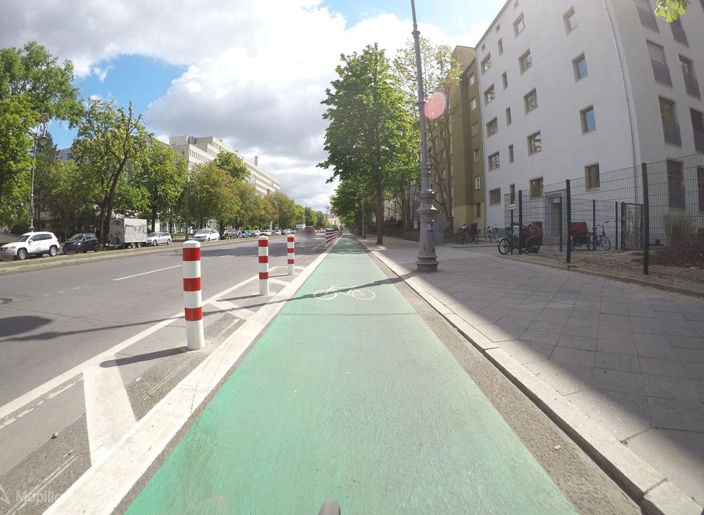
Protected Bike Line at Hasenheide in Berlin. Source: Mapillary, photo by kartonage.
Licensing
![]()
![]()
![]()
This work is licensed under the Creative Commons Attribution-ShareAlike 4.0 License.
Attribution: kartonage
Attribution: kartonage
![]()
This file comes from Mapillary, a service for sharing geotagged photos. All photos are under a CC BY-SA 4.0 license meaning the individual photographer must be credited for each image.
This template does not indicate the copyright status of the attached work. A normal copyright template is still required, typically it will be {{CC-BY-SA-4.0|HERE PUT NAME OF IMAGE AUTHOR}}.
This template does not indicate the copyright status of the attached work. A normal copyright template is still required, typically it will be {{CC-BY-SA-4.0|HERE PUT NAME OF IMAGE AUTHOR}}.
File history
Click on a date/time to view the file as it appeared at that time.
| Date/Time | Thumbnail | Dimensions | User | Comment | |
|---|---|---|---|---|---|
| current | 12:10, 15 February 2020 | | 1,990 × 1,455 (743 KB) | Supaplex030 (talk | contribs) | |
| 22:35, 30 January 2020 | 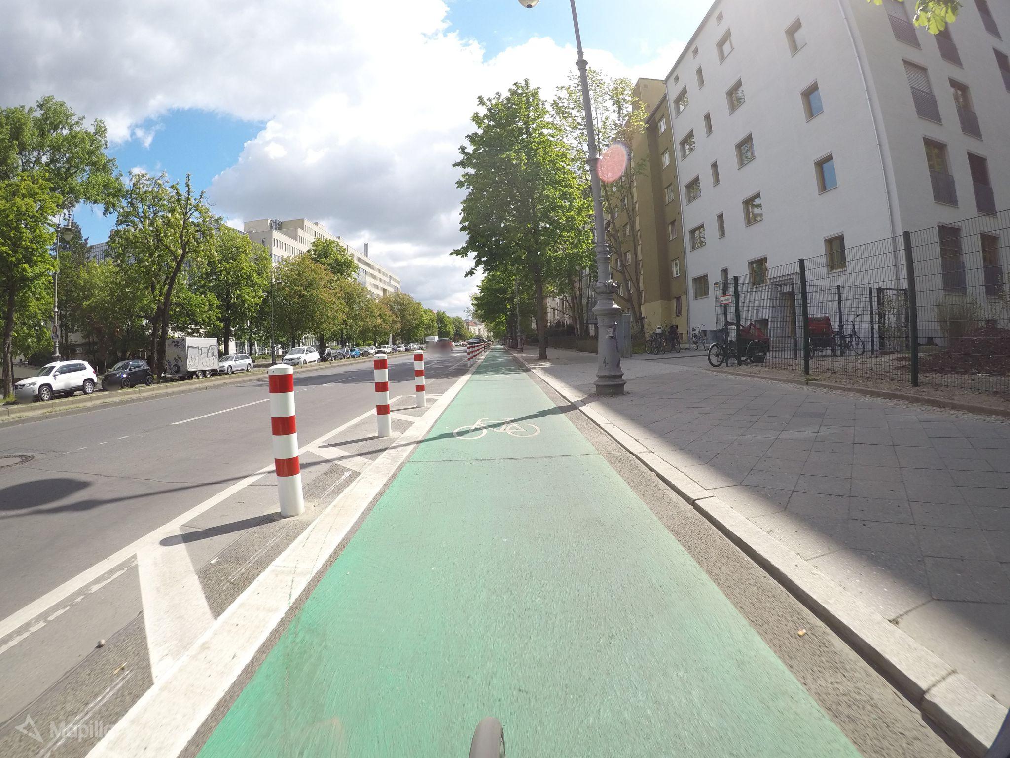 | 2,048 × 1,536 (468 KB) | Supaplex030 (talk | contribs) | Protected Bike Line at Hasenheide in Berlin. Source: Mapillary, photo by kartonage. |
You cannot overwrite this file.
File usage
The following 3 pages use this file: