File:Pente ecole parapente.jpg
Jump to navigation
Jump to search

Size of this preview: 800 × 597 pixels. Other resolutions: 320 × 239 pixels | 640 × 478 pixels | 1,024 × 764 pixels | 1,324 × 988 pixels.
Original file (1,324 × 988 pixels, file size: 220 KB, MIME type: image/jpeg)
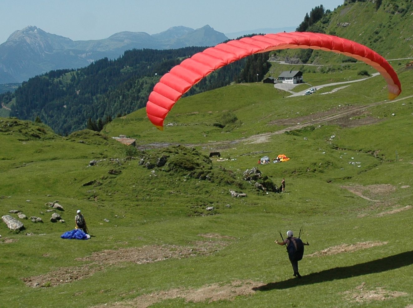
Picture by Pascal Vuylsteker (FlickR)
Paragliding training place (French : pente-école) located at Col de Joux Plane, Verchaix, Rhône-Alpes, France.
File's licence is Creative Commons BY-SA 2.0
There should be pictures that make a better distinction between a safe training field and a takeoff site. Don't hesitate to replace this picture if you have one.
File history
Click on a date/time to view the file as it appeared at that time.
| Date/Time | Thumbnail | Dimensions | User | Comment | |
|---|---|---|---|---|---|
| current | 11:25, 18 September 2010 | | 1,324 × 988 (220 KB) | Djam (talk | contribs) | Picture by Pascal Vuylsteker (FlickR) Paragliding training place (French : pente-école) located at Col de Joux Plane, Verchaix, Rhône-Alpes, France. File's licence is Creative Commons BY-SA 2.0 |
You cannot overwrite this file.
File usage
The following 48 pages use this file:
- Az:Map Features
- Bs:Map Features
- Cs:Key:sport
- Cs:Map Features2
- Da:Map Features
- Fi:Kartan ominaisuudet
- Gl:Key:sport
- Hu:Map Features
- Id:Map Features
- Key:sport
- Pl:Key:sport
- Pt:Key:sport
- Pt:Map Features2
- Tag:sport=free flying
- Uk:Key:sport
- Wiki:Files used by data items/3
- Template:Ar:Map Features:sport
- Template:Az:Map Features:sport
- Template:Bs:Map Features:sport
- Template:Cs:Map Features:sport
- Template:DE:Map Features:sport
- Template:Da:Map Features:sport
- Template:Et:Map Features:sport
- Template:FR:Map Features:sport
- Template:Fi:Map Features:sport
- Template:Generic:Map Features:sport
- Template:Gl:Map Features:sport
- Template:Hr:Map Features:sport
- Template:Hu:Map Features:sport
- Template:IT:Map Features:sport
- Template:Id:Map Features:sport
- Template:JA:Map Features:sport
- Template:NL:Map Features:sport
- Template:Pl:Map Features:sport
- Template:Pt:Map Features:sport
- Template:RU:Map Features:sport
- Template:Uk:Map Features:sport
- Template:Zh-hant:Map Features:sport
- DE:Key:sport
- DE:Tag:sport=free flying
- FR:Key:sport
- FR:Tag:sport=free flying
- ES:Tag:sport=free flying
- IT:Key:sport
- IT:Map Features
- RU:Key:sport
- JA:Key:sport
- Proposal:Free flying