File:Rutland Geographia1920s.png
Jump to navigation
Jump to search

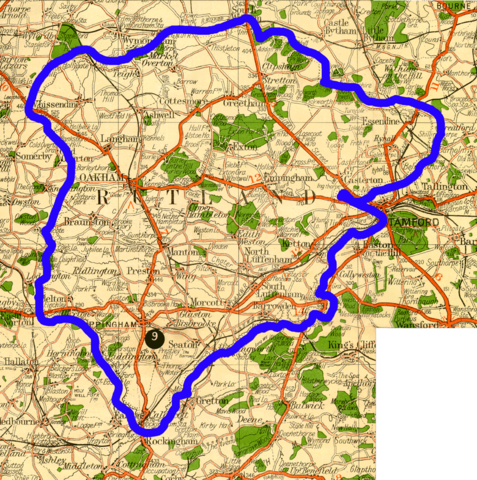
Size of this preview: 595 × 599 pixels. Other resolutions: 238 × 240 pixels | 477 × 480 pixels | 1,017 × 1,024 pixels.
Original file (1,017 × 1,024 pixels, file size: 644 KB, MIME type: image/png)
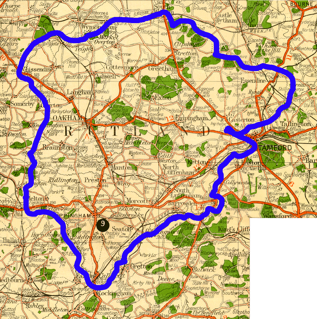
"Geographia" Two Miles to One Inch Map of England and Wales. Published in 19 Sheets. circa 1915 to 1930. Extract from Sheet 9.
File history
Click on a date/time to view the file as it appeared at that time.
| Date/Time | Thumbnail | Dimensions | User | Comment | |
|---|---|---|---|---|---|
| current | 12:36, 17 August 2006 | | 1,017 × 1,024 (644 KB) | Blackadder (talk | contribs) | "Geographia" Two Miles to One Inch Map of England and Wales. Published in 19 Sheets. circa 1915 to 1930. Extract from Sheet 9. |
You cannot overwrite this file.
File usage
The following page uses this file: