File:Satellite strava both.png
Jump to navigation
Jump to search

Size of this preview: 603 × 599 pixels. Other resolutions: 242 × 240 pixels | 483 × 480 pixels | 925 × 919 pixels.
Original file (925 × 919 pixels, file size: 1.7 MB, MIME type: image/png)
Summary
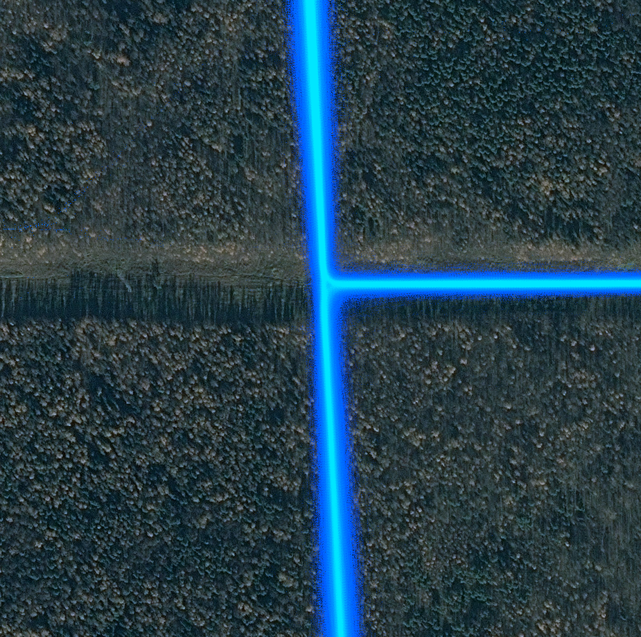
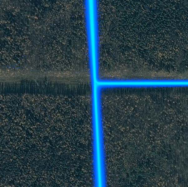
Example of GPS reception degradation, caused by dense forest. Data source: DigitalGlobe, Strava.
Licensing

The copyright holder of this file allows anyone to use it for any purpose, provided that the copyright holder is properly attributed. Redistribution, derivative work, commercial use, and all other use is permitted.
If you are the uploader, please provide proper attribution including source and name of author.
If you are the uploader, please provide proper attribution including source and name of author.
File history
Click on a date/time to view the file as it appeared at that time.
| Date/Time | Thumbnail | Dimensions | User | Comment | |
|---|---|---|---|---|---|
| current | 23:30, 17 June 2016 | | 925 × 919 (1.7 MB) | BushmanK (talk | contribs) | Example of GPS reception degradation, caused by dense forest. Data source: DigitalGlobe, Strava. |
You cannot overwrite this file.
File usage
There are no pages that use this file.