File:Targomo Statistics.png
Jump to navigation
Jump to search

Size of this preview: 800 × 200 pixels. Other resolutions: 320 × 80 pixels | 1,200 × 300 pixels.
Original file (1,200 × 300 pixels, file size: 305 KB, MIME type: image/png)
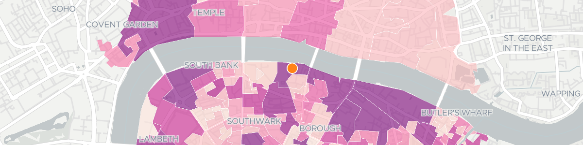
Map with reachable statistics generated by the Targomo Statistics Service
File history
Click on a date/time to view the file as it appeared at that time.
| Date/Time | Thumbnail | Dimensions | User | Comment | |
|---|---|---|---|---|---|
| current | 15:09, 11 May 2020 | 1,200 × 300 (305 KB) | Abenrob (talk | contribs) |
You cannot overwrite this file.
File usage
The following page uses this file: