File:UK stalbans status.png
Jump to navigation
Jump to search


Size of this preview: 562 × 600 pixels. Other resolutions: 225 × 240 pixels | 450 × 480 pixels | 720 × 768 pixels | 959 × 1,024 pixels | 1,500 × 1,601 pixels.
Original file (1,500 × 1,601 pixels, file size: 716 KB, MIME type: image/png)
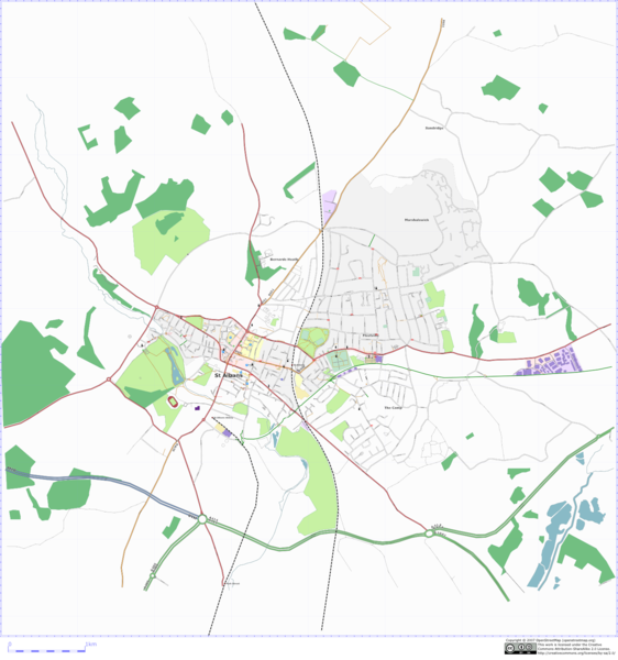
Osmarender of St Albans, UK.
![]()
Contains map data © OpenStreetMap contributors, made available under the terms of the Creative Commons Attribution-ShareAlike 2.0 (CC-BY-SA-2.0).
File history
Click on a date/time to view the file as it appeared at that time.
| Date/Time | Thumbnail | Dimensions | User | Comment | |
|---|---|---|---|---|---|
| current | 19:49, 21 March 2007 | | 1,500 × 1,601 (716 KB) | TomChance (talk | contribs) | Osmarender of St Albans, UK. |
| 00:17, 14 January 2007 | 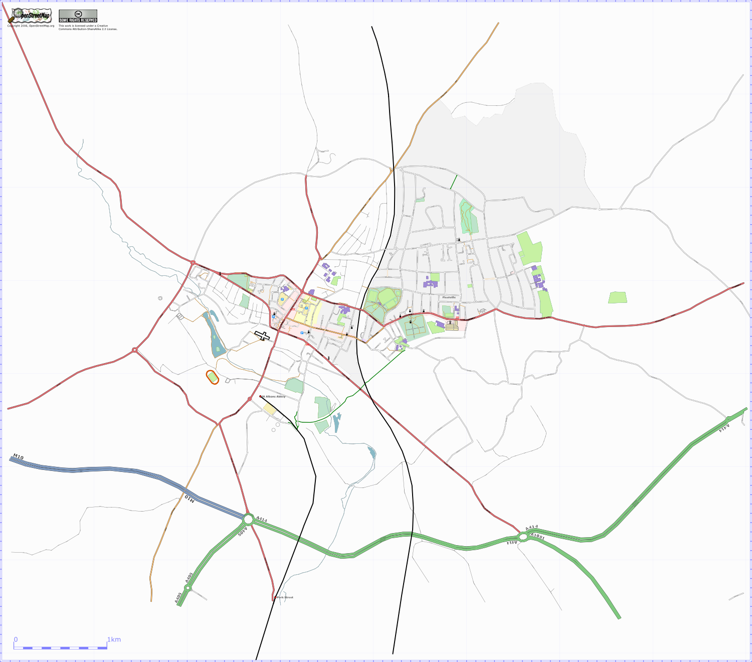 | 1,500 × 1,320 (452 KB) | TomChance (talk | contribs) | St Albans as of 13/01/07 with a customised osmarender. | |
| 16:13, 3 December 2006 | 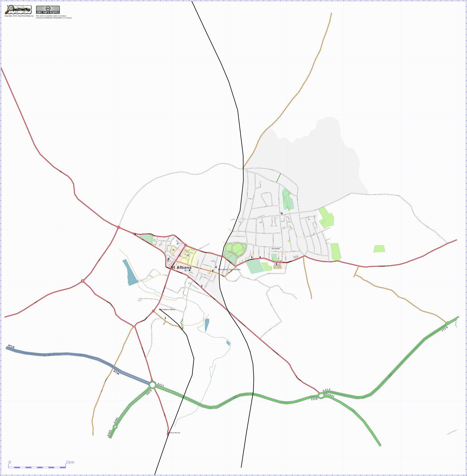 | 1,500 × 1,529 (357 KB) | TomChance (talk | contribs) | Osmarender of St Albans, UK. |
You cannot overwrite this file.
File usage
The following page uses this file: