Glosm
| Glosm | |
|---|---|
 | |
| Author: | User:AMDmi3 |
| License: | GNU General Public License v3 (free of charge) |
| Platforms: | Windows and Linux |
| Version: | 0.0.3 |
| Language: | English |
| Source code: | https://github.com/AMDmi3/glosm |
| Programming language: | C++ |
|
Framework for developing high-performance geospatial data visualization applications of both interactive and batch nature featuring OpenGL-based 3D first-person and tile renderers | |
Glosm is hardware-accelerated OpenGL-based OpenStreetMap renderer by User:AMDmi3. Both tile rendering and realtime first-person viewer are supported.
Tags
Buildings
There are some notable tags this software supports:
- height=*
- min_height=*
- building:levels=*
- building:min_level=*
- building:ground_level=*
- building:skipped_levels=* (User_talk:Jongleur/MultiLevel_Building_Shapes)
to determine height of 3D objects (buildings, barriers). See User:Jongleur/MultiLevel_Building_Shapes. Height of one level is taken as 3 meters, for some 1-level buildings 1 meter is added for basement.
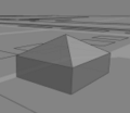
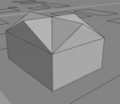
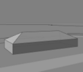
Supported roof tags
- roof:shape=* type of roof (see File:Roofs.png)
conical
crosspitched
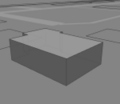
flat
hipped
pitched
pyramidal


- roof:angle=* pitch of roof in full degree
- roof:orientation=* orientation along or across a rectangular shape
- across
- along
Media
glosm-0.0.3 (development)
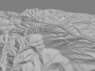
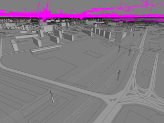
First attempt of SRTM height data rendering

GPX tracks (without altitudes, taken from OSM)
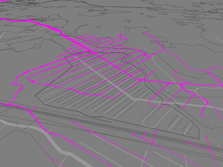
Tracks with real altitudes over the map (appear floating in the air because ground objects are currently at zero level)
Power lines and altitude fluctuations of real GPS tracks


glosm-0.0.2
A flyover of Gjøvik, Norway using glosm-viewer : http://www.youtube.com/watch?v=f3anglvpyU0
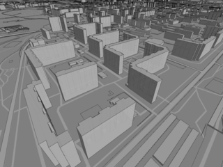
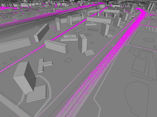
Glosm rendering of an area of Moscow
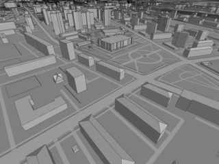
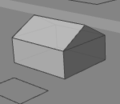
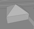
Other rendering demonstrating shaped roofs
