OpenLayers
Jump to navigation
Jump to search

![]()
This article or section may contain out-of-date information: Many pages about OpenLayers on this wiki are still based on the OpenLayers version 2 (last release in July 2013). With OpenLayers version 3, the API has changed a lot. For simple maps, Leaflet is an easier and lightweight alternative.
If you know about the current state of affairs, please help keep everyone informed by updating this information. (Discussion)
If you know about the current state of affairs, please help keep everyone informed by updating this information. (Discussion)
OpenLayers (openlayers.org) is an open-source implementation of a "Slippy Map" interface. It is a JavaScript library released under the BSD license. It is one of several libraries you can use to deploy your own slippy map on a website.
Examples

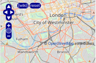
OpenLayers screenshot embedded in this wiki page
- OpenLayers Simple Example
- OpenLayers Marker Example - How to add a simple static marker
- Openlayers marker multilayer example - How to add markers from an array to multiple layers
- Openlayers POI layer example - How to show POI markers with an overlay layer
- Openlayers Track example - How to show a .gpx track file in an overlay layer
- OpenLayers osm file example - How to show an .osm file in an overlay layer
- OpenLayers Dynamic POI - How to show POI markers dynamically (with the help of MySQL and PHP) in a rather advanced way
- Faster tiles - Speed up our map presentation by fetching tiles from more than one server
- OpenLayers Local Tiles Example - Browse local OpenStreetMap tiles with a slippymap
- OpenLayers Indoor Map - Example of an interactive, indoor museum map built by the Field Museum.
- OSM Parking Map - Example of an interactive map that shows parking tags. Source .
- OSM Lit Map - Example of an interactive map that shows lit tags. Source.
- OSM Recycling Map - Example of an interactive map that shows recycling tags. Source.
- OSM Historic Map - Example of an interactive map that shows historic names and features. Source.
- Custom OSM Map App (Customsosmapp) - Example of an interactive map that shows customized tags. Source.
Most examples are also available for viewing online here.
More information
- More at Category:OpenLayers Examples.
- Creating your own tiles
- Slippy Map - more technical details of our OpenLayers deployment
- Browsing - non-technical help for using our slippy map
- Slippy Map MediaWiki Extension - Embedding OSM slippy maps into this wiki, and other MediaWiki installations.
- OpenLayers Videotutorial
- OpenLayers Library
- OpenLayers Class Diagrams Inheritance hierarchies of OpenLayers-Classes
OpenLayers tools
- Slippy Map Generator - Point and click to set up a map, then download the code needed to initialise OpenLayers.
- FacilMap - Includeable JavaScript library to make it easy to set up OpenLayers with OSM layers, and other features such as search, and OpenStreetBugs.
- Mapstraction - A library abstracting between different javascript map "providers" of which OpenLayers is one.
- Slipple - A simple slippy map resembling Gmaps API, with custom markers and routes.
Base layers & overlays
See Tiles for examples of base layers and overlays available for building online maps