ZANavi
If you know about the current state of affairs, please help keep everyone informed by updating this information. (Discussion)
| ZANavi | |
|---|---|
| Author: | Zoff |
| License: | GNU General Public License |
| Status: | Broken |
| Version: | 2.0.56 (2016-12-13) |
| Language: | many |
| Website: | http://zanavi.cc |
| Programming languages: | C and Java |
|
Offline Navigation System for Android | |
Application that is no longer developed[1] and has been removed from PlayStore.
Description
ZANavi is an Android app. It's a fork of Navit. It's opensource and free. You can download it from the Android Market.
It's the only opensource navigation app that lets you download the whole world map on your device.
It's about 10 GBytes in size, and you can then navigate everywhere in the world.
(this requires the "large maps donate"-Version from the Android play store)
- ZANavi: http://zanavi.cc/
- ZANavi on F-Droid: https://f-droid.org/repository/browse/?fdfilter=zanavi&fdid=com.zoffcc.applications.zanavi
- Download ZANavi via Google Play: Play Store (No longer available)
- QR code to Play Store: http://zanavi.cc/images/Market_Links_small.png
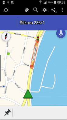
- ) now you can calculate the route with least number of traffic lights.
- ) for better searching the donate version is recommended. the new index search finds almost any street in seconds
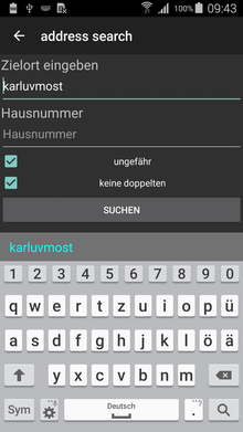
  for the index search the format to search for addresses is: STREET TOWN
                                                          or: STREET
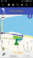
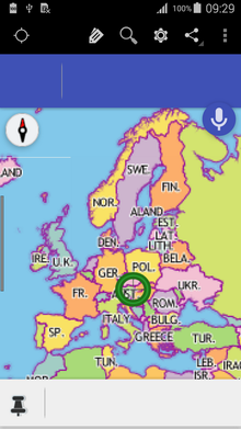
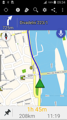
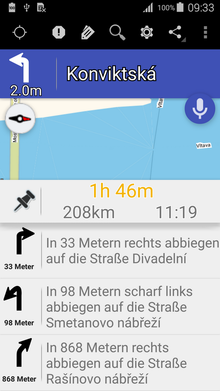
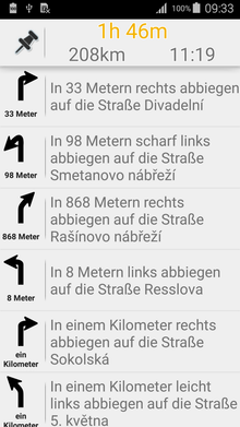
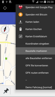
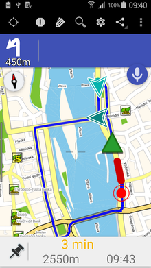
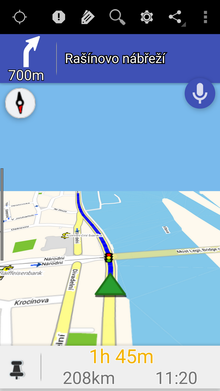
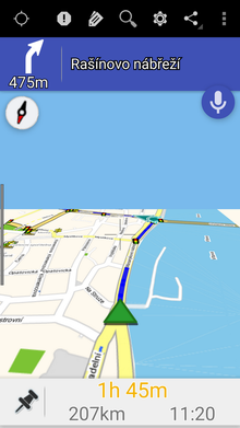
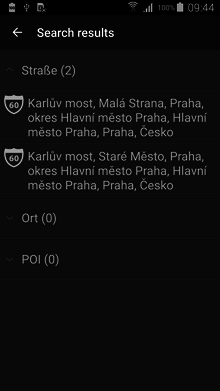
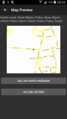
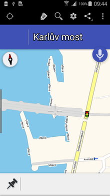
Screenshots
User Questions
- does ZANavi use the same map data format as Navit does or are there any differences?
- The routing engines and rendering backends were the same at forking time, and the work done in ZANavi is directed towards a better Android experience. So there isn't a lot of difference between the map data formats. But they're probably not interchangeable either.
- How often are the downloadable map files updated?
- is there a version history / changelog for ZANavi besides the android market?
- what are the differences between Navit and ZANavi?
- ZANavi tries to make a specific android port and to succeed where Navit, [as multiple plattform application], can not. It's only aimed at Android devices (Android 2.0 or higher) and should bring maximum user experience to the android device.
- In short: it should be "install" and "start using", but no fiddling with settings and xml files.
- what were the reasons to start this fork?
- Differences in opinion between the developers.
Bugs
Feature Requests
- ZANavi (and Navit) does not pay attention to highway=service with a name-tag in search.
- When to choose a map file from download, is it possible to display the time stamp of the map data to see if there is already new map data available?
- When looking at the lokal map data on your phone or device, where can I see the age of my downloaded map data?
- Search box for places and streets: the last name of a place or street that was entered by the user should be displayed (in the case that you are searching for different streets in the same place)
- for debugging purposes: when a user has entered a place name in the search box and then has to enter a street name, can there be a display of the numbers of available streets? (for example id you entered Hamburg as place name, you can see that ZANAvi can offer 2569 streets to choose from)
Please keep in mind that some bugs or feature requests can be a matter of core Navit development. So it can be helpful to have a look at the original Navit bug tracker at sf.net to find out whether a topic has already been mentioned there. If so, please add a link to that specific bug or issue here.
