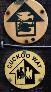
Cuckoo Way
Jump to navigation
Jump to search
The Cuckoo Way runs along the Chesterfield Canal (or the route of it, where the canal no longer exists) from Chesterfield to West Stockwith. There are at least two signs in use - the image above is of the older one.
Progress
The section between Chesterfield and Worksop has been mostly mapped. There's lots more still to do, though...
Links
LDWA: [1]
