Uploads by Maning
Jump to navigation
Jump to search
This special page shows all uploaded files.
| Date | Name | Thumbnail | Size | Description | Versions |
|---|---|---|---|---|---|
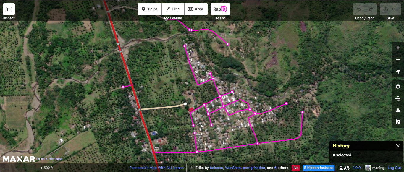
| 11:59, 9 August 2019 | Screen Shot 2019-07-30 at 12.46.19.png (file) |  |
1.58 MB | 1 | |
| 07:21, 19 September 2016 | OpenStreetMap Philippines Inc. SEC Certificate of Incorporation.jpg (file) |  |
4.43 MB | 2 | |
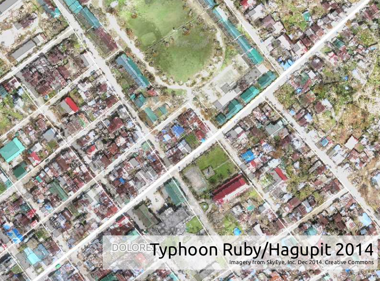
| 09:12, 19 September 2015 | Screenshot from 2015-09-19 17-10-38.png (file) |  |
926 KB | Sample UAV imagery over Typhoon Ruby affected areas. Imagery from SkyEye, Inc. | 1 |
| 08:03, 18 March 2015 | Vanuatu2.gif (file) |  |
2.67 MB | 1 | |
| 04:18, 7 December 2014 | Hiu basketball.png (file) |  |
135 KB | 1 | |
| 04:18, 7 December 2014 | Bing basketball.png (file) |  |
134 KB | 1 | |
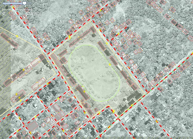
| 03:48, 7 December 2014 | Hiu school.png (file) |  |
438 KB | 1 | |
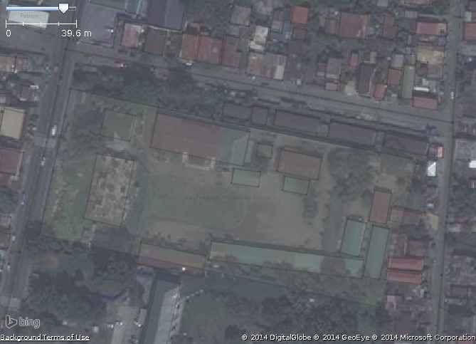
| 03:47, 7 December 2014 | Bing school.png (file) |  |
240 KB | 1 | |
| 03:45, 7 December 2014 | Hiu residential.png (file) |  |
636 KB | 1 | |
| 03:44, 7 December 2014 | Bing residential.png (file) |  |
400 KB | 1 | |
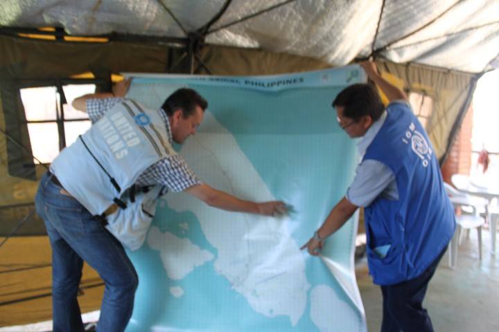
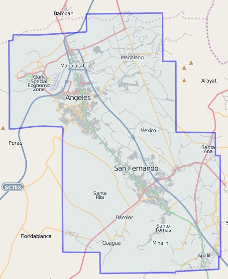
| 04:06, 21 November 2013 | Map Poster DSWD Operations Center.jpg (file) |  |
37 KB | International Organization on Migration (IOM) showing an UN representative a large OSM print of Guiuan, Eastern Samar. This photo was taken in the DSWD Operations Center in Tacloban Airport. The map will be used to coordinate the relief and rescue effo... | 1 |
| 07:51, 10 December 2012 | 2012-11-23 15.46.03.jpg (file) |  |
658 KB | 1 | |
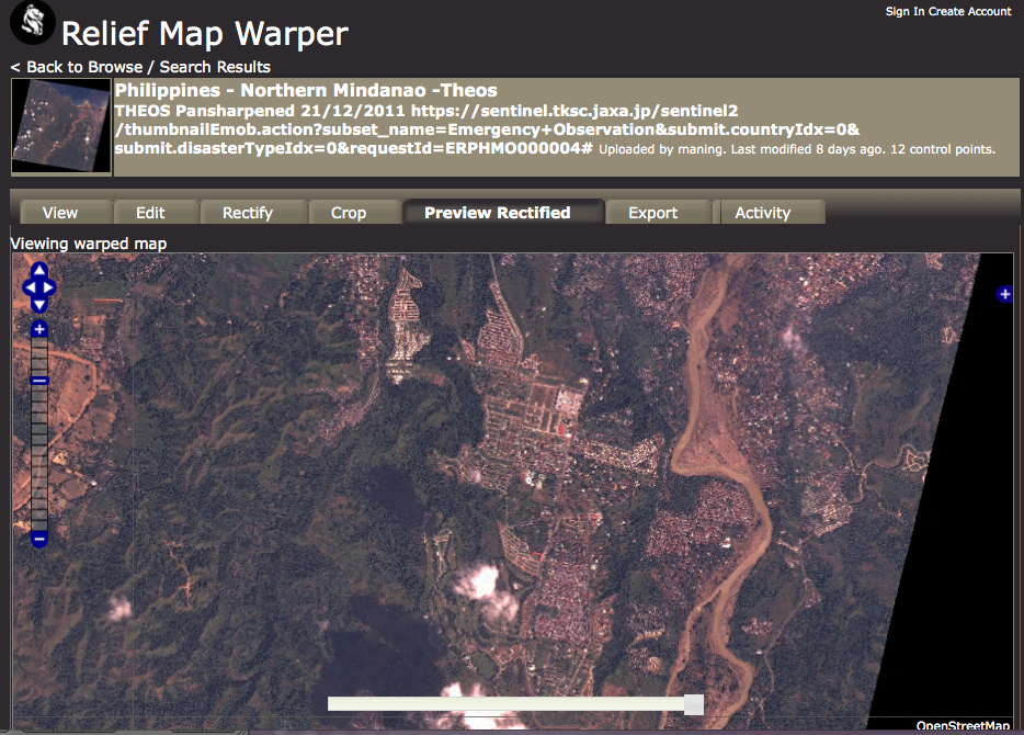
| 10:04, 6 February 2012 | Theos mapwarper.png (file) |  |
814 KB | Many satellite providers allows the use of their imagery for free during disasters. This image shows rectified imagery provided by Thailand's satellite (Theos) after the floods around Cagayan De Oro in Northern Mindanao. We rectified this image and is n | 1 |
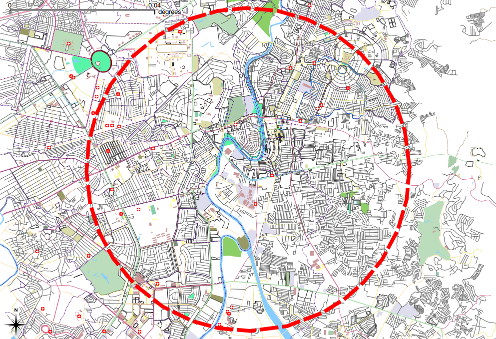
| 07:43, 21 June 2011 | Marikina 20100104.png (file) |  |
731 KB | 2 | |
| 09:59, 21 January 2011 | Bacolod.png (file) |  |
83 KB | 1 | |
| 09:59, 21 January 2011 | Bat launion.png (file) |  |
138 KB | 1 | |
| 09:58, 21 January 2011 | Bicol.png (file) |  |
97 KB | 1 | |
| 09:57, 21 January 2011 | Camotes.png (file) |  |
32 KB | 1 | |
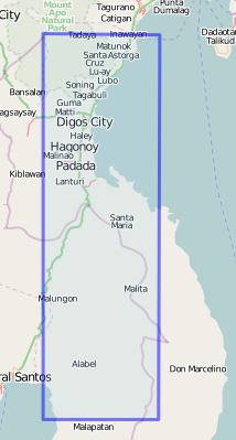
| 09:57, 21 January 2011 | Digos.png (file) |  |
52 KB | 1 | |
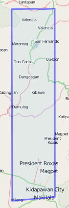
| 09:55, 21 January 2011 | Kidapawan.png (file) |  |
39 KB | 1 | |
| 09:54, 21 January 2011 | Pprincesa.png (file) |  |
50 KB | 1 | |
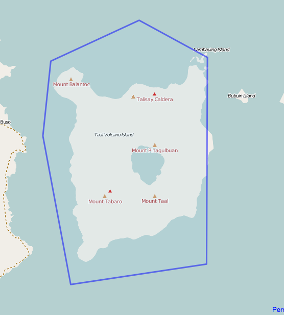
| 09:53, 21 January 2011 | Taal.png (file) |  |
57 KB | 1 | |
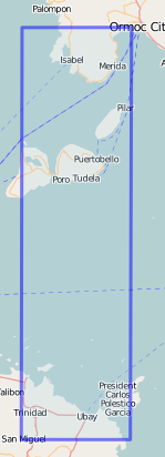
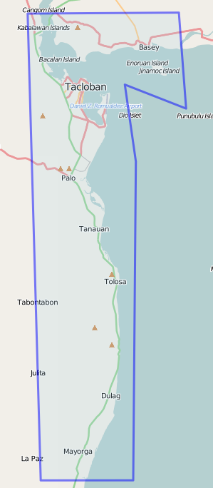
| 09:52, 21 January 2011 | Tacloban.png (file) |  |
66 KB | 1 | |
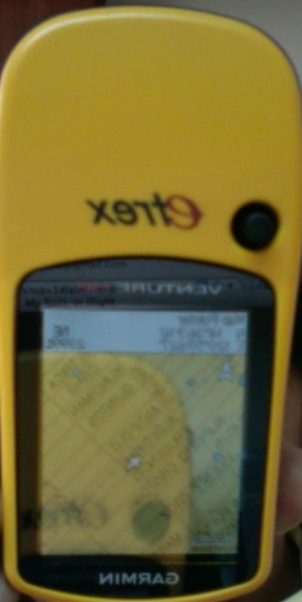
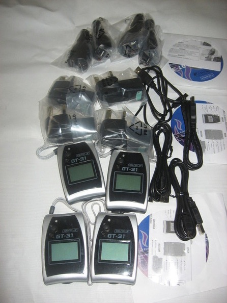
| 02:49, 17 January 2011 | Etrex hc.jpg (file) |  |
90 KB | new etrex hc donated by Philip Paar for OSM-PH GPStoGO project | 1 |
| 08:06, 19 October 2010 | Topomaps coverage.png (file) |  |
80 KB | Extent of non-georefrenced 1:50,000 topomaps in Northern Luzon | 1 |
| 03:37, 19 October 2010 | Spot5 color coverage.png (file) |  |
441 KB | Spot5 2.5 Color Imagery available in Northern Luzon | 1 |
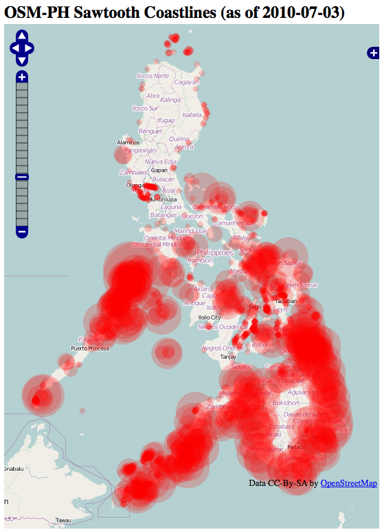
| 01:34, 6 July 2010 | Ph sawtooth coastlines.png (file) |  |
276 KB | 1 | |
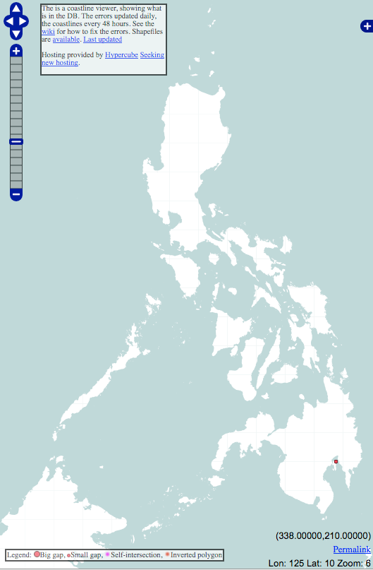
| 09:22, 25 May 2010 | Ph coastline error.png (file) |  |
90 KB | 1 | |
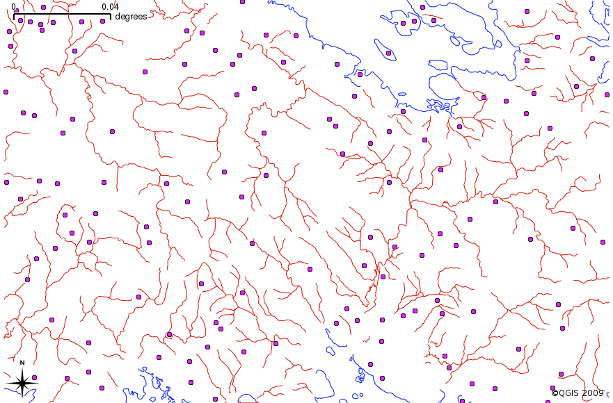
| 08:07, 15 May 2010 | Maning 5km slice.png (file) |  |
941 KB | 1 | |
| 09:23, 29 March 2010 | Arivac osm road compare.png (file) |  |
139 KB | 1 | |
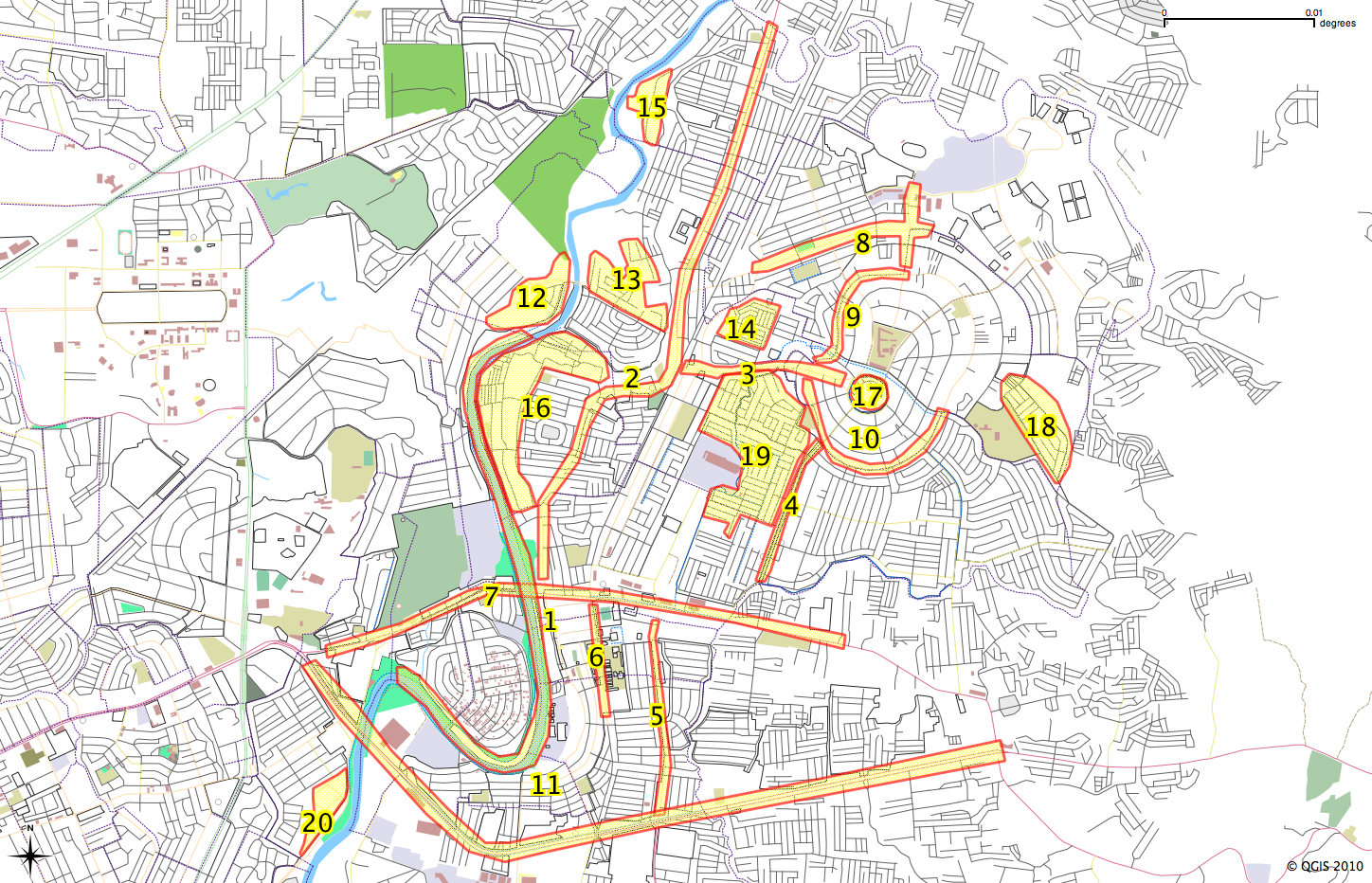
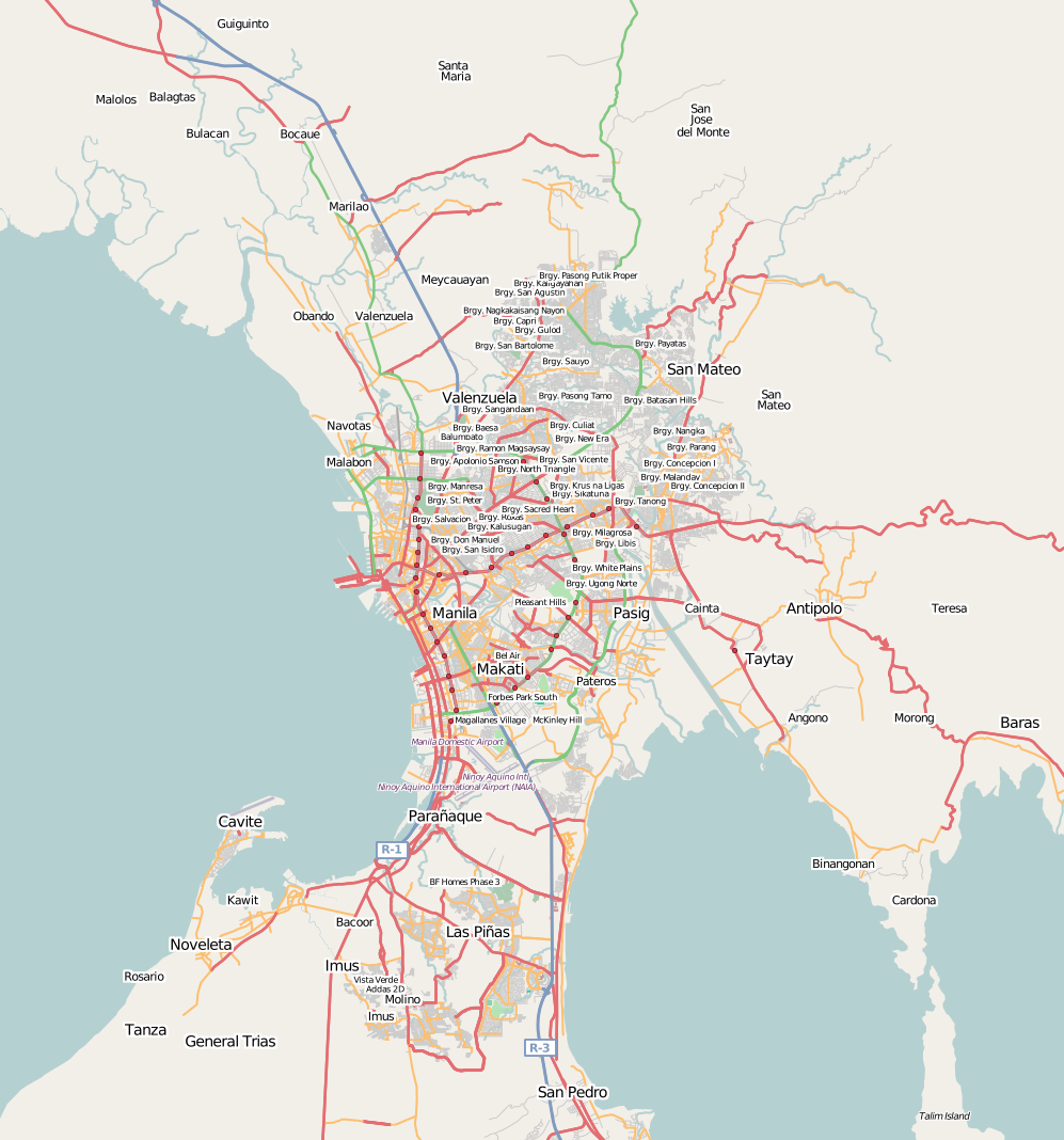
| 07:00, 2 March 2010 | Marikina mapping noname.png (file) |  |
523 KB | No name roads in Marikina as of 20100301 | 1 |
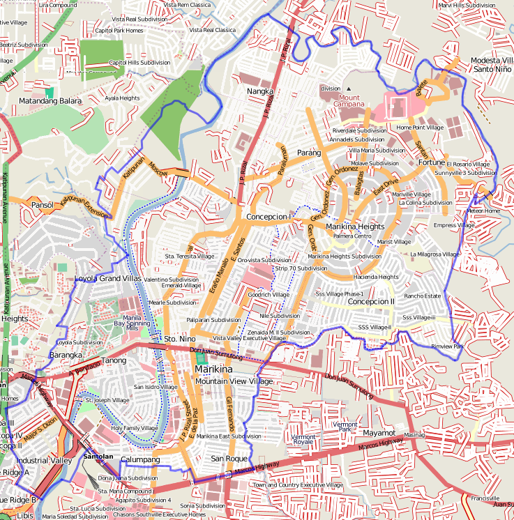
| 02:39, 26 February 2010 | Marikina mapping priorities.png (file) |  |
1.12 MB | 2 | |
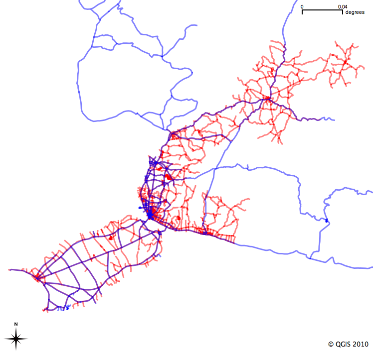
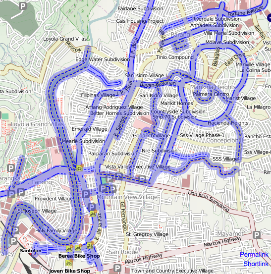
| 02:08, 8 February 2010 | Marikina cycleways.png (file) |  |
558 KB | 1 | |
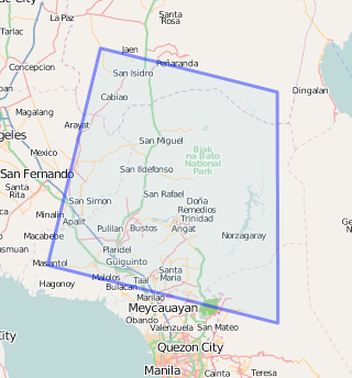
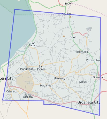
| 02:28, 21 January 2010 | Bulacan spot5 20100121.png (file) |  |
83 KB | 1 | |
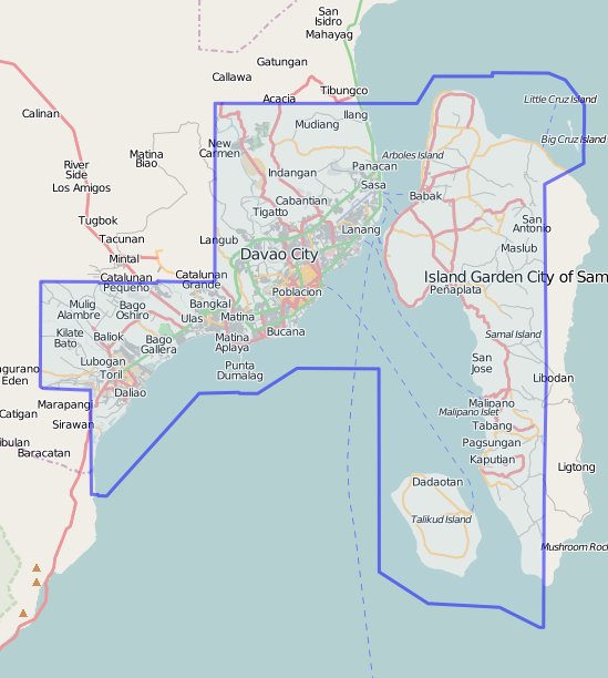
| 03:22, 18 January 2010 | Davao yahoo 20100118.jpg (file) |  |
61 KB | 1 | |
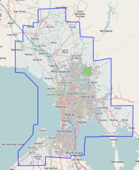
| 03:21, 18 January 2010 | Metromanila yahoo 20100118.jpg (file) |  |
57 KB | 1 | |
| 03:20, 18 January 2010 | Pampanga yahoo 20100118.jpg (file) |  |
49 KB | 1 | |
| 03:19, 18 January 2010 | Pangasinan qb 20100118.jpg (file) |  |
41 KB | 1 | |
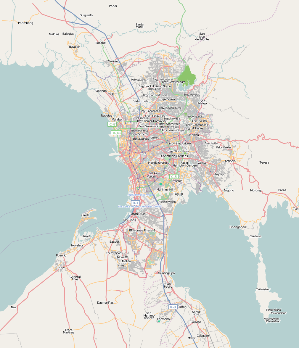
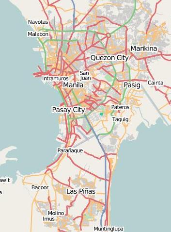
| 02:51, 5 January 2010 | Metro manila 20100105.png (file) |  |
661 KB | 1 | |
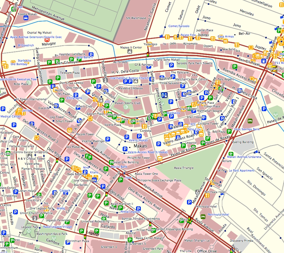
| 03:13, 11 August 2009 | Osm ph garmin.jpg (file) |  |
779 KB | 1 | |
| 15:08, 31 March 2009 | Pafid sample data.png (file) |  |
174 KB | 1 | |
| 03:02, 6 February 2009 | IMG 3488.JPG (file) |  |
83 KB | GPS units donated from the GPS2GO grant program to the Philippines | 1 |
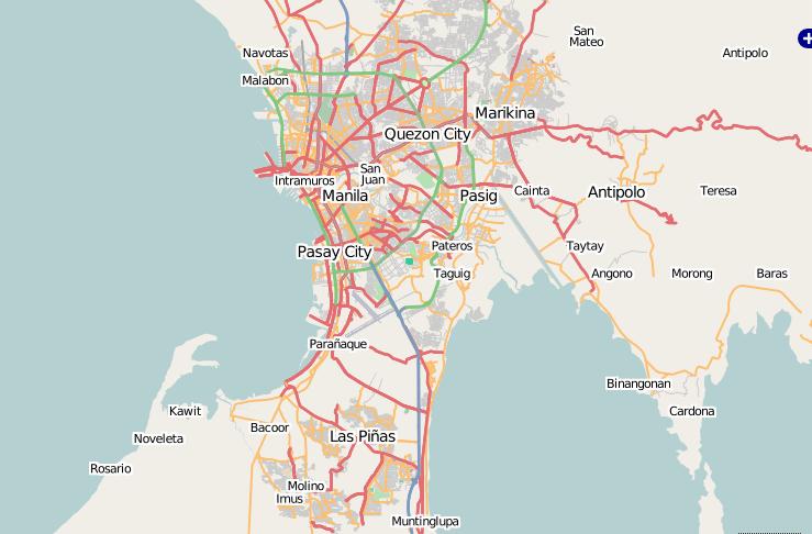
| 02:18, 21 November 2008 | Metro manila 20081121.png (file) |  |
555 KB | 1 | |
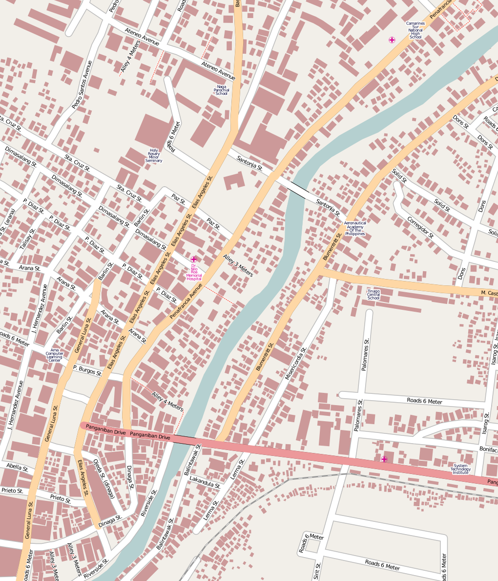
| 02:04, 21 November 2008 | Naga osm.png (file) |  |
598 KB | 1 | |
| 09:49, 9 May 2008 | Metro manila 20080509.png (file) |  |
417 KB | 1 | |
| 11:18, 24 March 2008 | Osm metromanila2 20080324.jpg (file) |  |
32 KB | 1 | |
| 11:08, 24 March 2008 | Osm metromanila.JPG (file) |  |
45 KB | 1 |