Uploads by Petschge
Jump to navigation
Jump to search
This special page shows all uploaded files.
| Date | Name | Thumbnail | Size | Description | Versions |
|---|---|---|---|---|---|
| 07:30, 5 January 2011 | Tagstat highway.png (file) |  |
486 KB | Screetshot of the tagstat interface showing information on the "highway" tag based on the planet file 2010-12-22. | 1 |
| 12:14, 20 January 2010 | Quickbird coverage.png (file) |  |
212 KB | Coverage of the quickbird imagery from the 15th | 1 |
| 09:31, 20 January 2010 | Eros coverage.png (file) |  |
570 KB | Coverage of the imagery from the Eros-B sat provided by ScanEx | 1 |
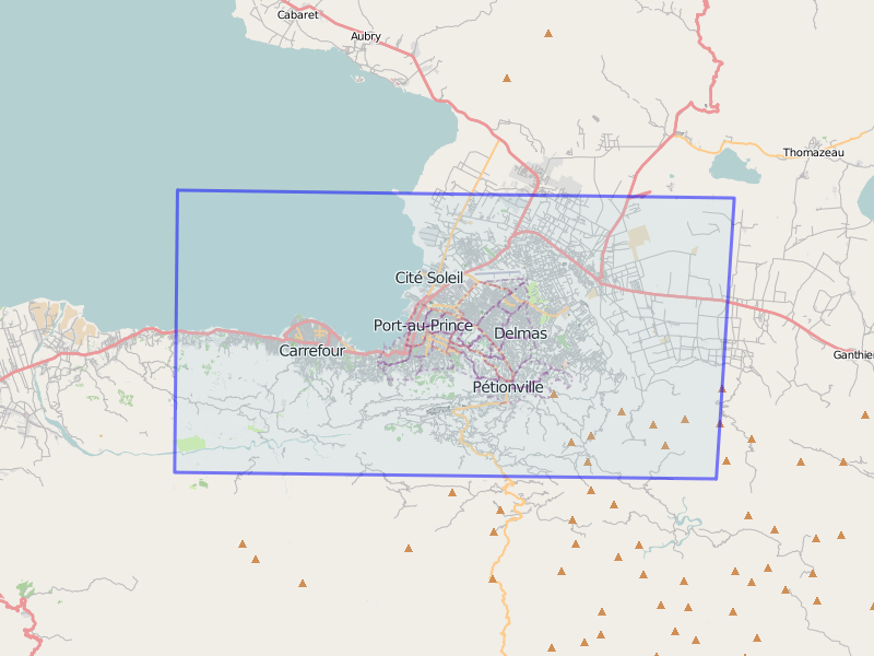
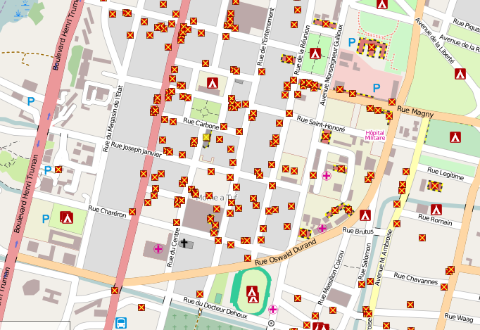
| 14:14, 17 January 2010 | Haiti earthquake damage map.png (file) |  |
209 KB | (Updated example zoomed in area of http://haiti.openstreetmap.nl/ The Haiti custom rendering set up by User:Ldp User:Ldp which shows damaged buildings and refugee camps mapped within OpenStreetMap using special GeoEye/DigitalGlobe imagery. See WikiPro | 2 |
| 16:10, 16 January 2010 | Unitar unosat.jpg (file) |  |
88 KB | Unitar / Unosat use OSM street data in their damage report. Its great to see that efforts over the past few days have been of real use. Just a shame that Google Map Maker appears to get the major credit. | 1 |