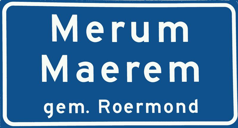
File:Merum (Roermond) tweetalig plaatsnaambord cropped.JPG
Jump to navigation
Jump to search
Size of this preview: 800 × 432 pixels. Other resolutions: 320 × 173 pixels | 640 × 345 pixels | 1,024 × 552 pixels | 1,280 × 690 pixels | 3,628 × 1,957 pixels.
Original file (3,628 × 1,957 pixels, file size: 791 KB, MIME type: image/jpeg)
Summary
Cropped version of: https://commons.wikimedia.org/wiki/File:Merum_(Roermond)_tweetalig_plaatsnaambord.JPG
_tweetalig_plaatsnaambord.JPG)
Licensing
![]()
This file has been released into the public domain by the copyright holder, its copyright has expired, or it is ineligible for copyright. This applies worldwide.
Please, please use more specific template such as {{PD-self}} / {{PD-creator}} / {{PD-shape}} / {{PD-USGov}} / {{PD-old}} / {{PD-RU-exempt}} ... This template is not making clear why this work is in the public domain.
Please, please use more specific template such as {{PD-self}} / {{PD-creator}} / {{PD-shape}} / {{PD-USGov}} / {{PD-old}} / {{PD-RU-exempt}} ... This template is not making clear why this work is in the public domain.
File history
Click on a date/time to view the file as it appeared at that time.
| Date/Time | Thumbnail | Dimensions | User | Comment | |
|---|---|---|---|---|---|
| current | 18:54, 16 February 2022 | | 3,628 × 1,957 (791 KB) | JeroenvanderGun (talk | contribs) | Replace colours with standard blue+white from https://commons.wikimedia.org/wiki/Category_talk:Diagrams_of_road_signs_of_the_Netherlands |
| 18:33, 16 February 2022 | 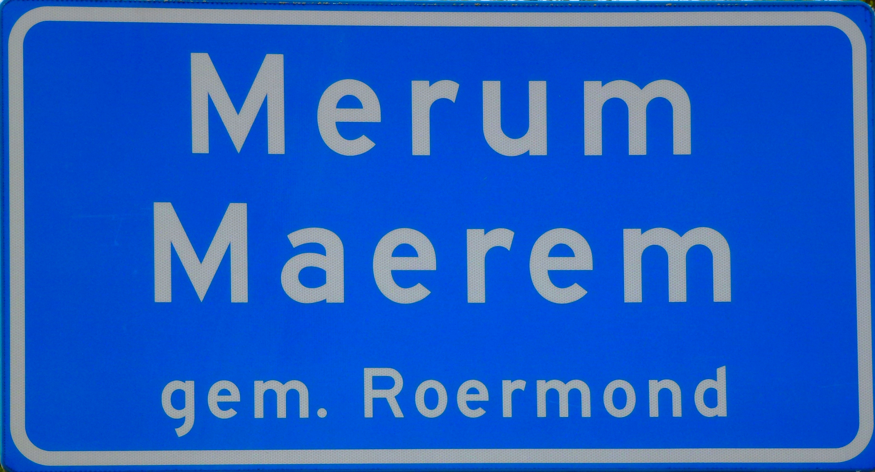 | 3,628 × 1,957 (6.51 MB) | JeroenvanderGun (talk | contribs) | Improved colours | |
| 18:29, 16 February 2022 | 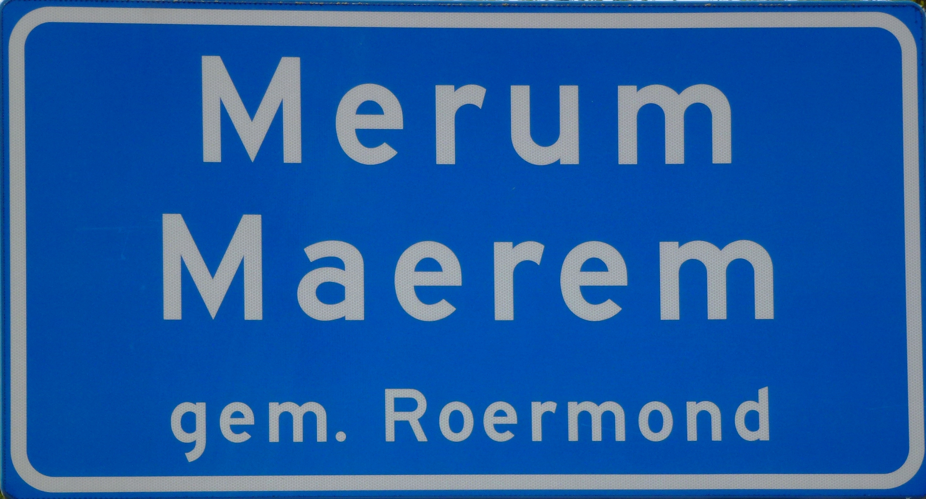 | 3,628 × 1,957 (5.09 MB) | JeroenvanderGun (talk | contribs) | Cropped version of: https://commons.wikimedia.org/wiki/File:Merum_(Roermond)_tweetalig_plaatsnaambord.JPG |
You cannot overwrite this file.
File usage
The following 6 pages use this file:
_tweetalig_plaatsnaambord_cropped.JPG&oldid=2266108)