ScalableMaps
ScalableMaps (scalablemaps.com) offer layered, royalty-free vector maps (in SVG, Adobe Illustrator and PDF formats) based on OSM data and other sources like Natural Earth and NASA. The maps are made using a custom mapmaking software which is based on Maperitive, but with greatly extended capabilities, especially in the area of map data clean-up and automatic label placement. The idea for the site is to provide pre-made vector maps that can be edited and used for various purposes (especially web and print publishing) and that will be much cheaper than the maps sold by existing map providers.
The general map features are described on the Features page. There are also some useful tips for Adobe Illustrator users on how to speed up Illustrator when working with large maps.
You can find the complete list of maps offered on the Map Catalog page. There are also some free sample maps available.
Make sure you read and follow the full copyright and license instructions for any map created with OpenStreetMap data. There are clear and specific attribution rules that must be observed to use maps derived from OSM data. You can find the copyright rules at the OSM Copyright and License Page.
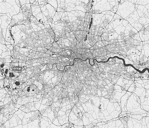
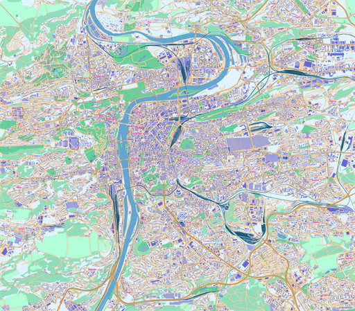
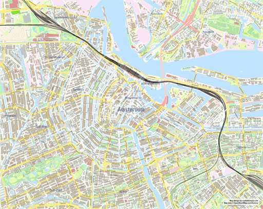
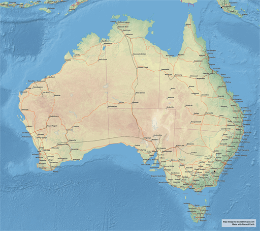
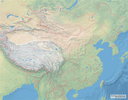
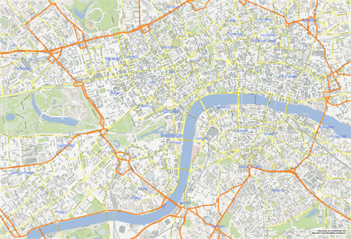
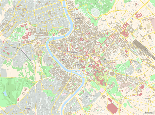
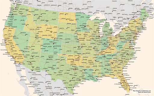
Map Examples
Here's a just a small selection of maps offered on the ScalableMaps site (click on the map to go directly to the map page):
 |
|
 |
|
 |
|
 |
|