Uploads by Gravitystorm
Jump to navigation
Jump to search
This special page shows all uploaded files.
| Date | Name | Thumbnail | Size | Description | Versions |
|---|---|---|---|---|---|
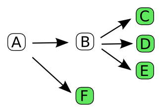
| 10:26, 25 February 2011 | Undoableactions.png (file) |  |
13 KB | CompositeUndoableActions (in white) are one or more undoable actions - but in ultimately are a series of UndoableEntityActions (in green) | 1 |
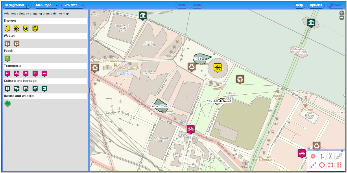
| 11:22, 15 December 2010 | P2-custom.png (file) |  |
330 KB | A customised version of potlatch2 used by the Sustainable London project | 1 |
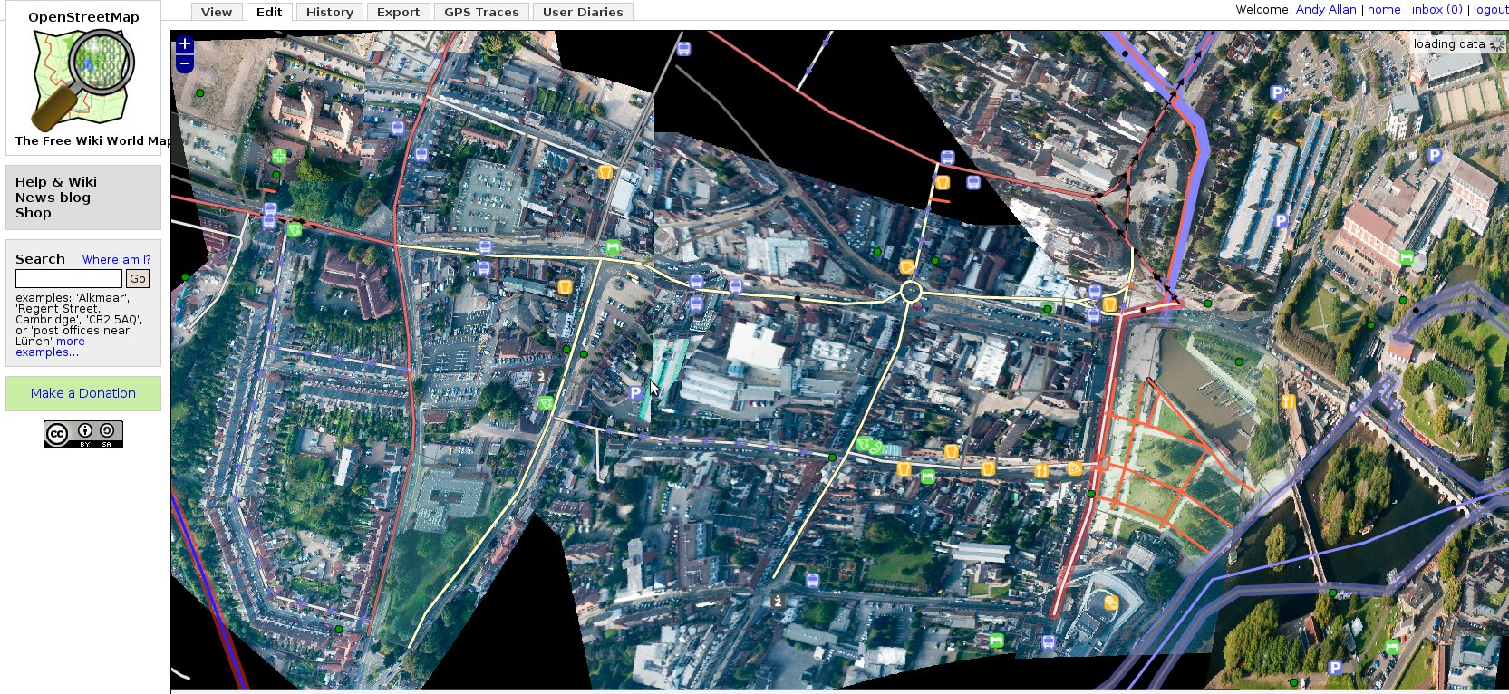
| 10:48, 15 December 2010 | Halcyon.png (file) |  |
582 KB | A screen capture of halcyon showing osm data and bing! imagery | 1 |
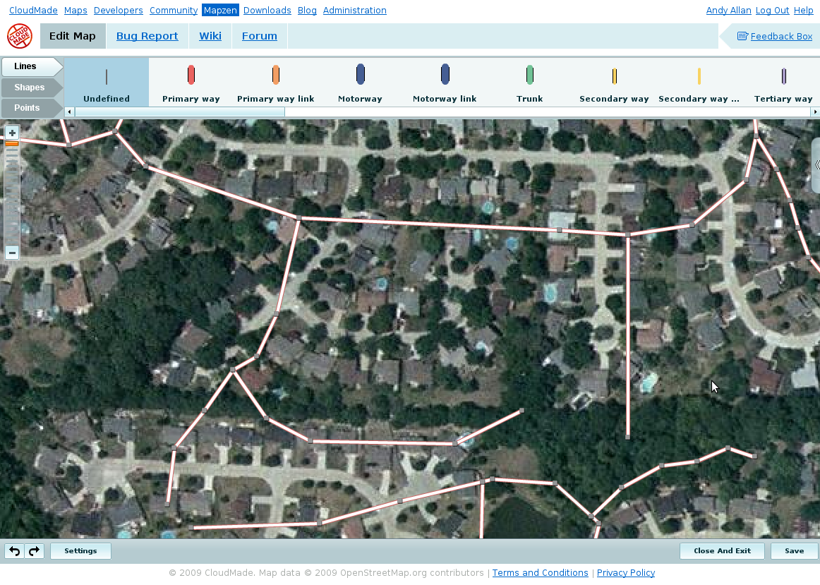
| 17:41, 18 October 2010 | P2 tagging.png (file) |  |
9 KB | 1 | |
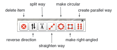
| 17:40, 18 October 2010 | P2 toolbox.png (file) |  |
17 KB | A screenshot of the toolbox from potlatch2 | 1 |
| 15:49, 26 July 2010 | AndyAllan.png (file) |  |
28 KB | I'd replace the .jpg file directly, but mediawiki doesn't allow that. | 1 |
| 15:52, 9 December 2009 | Screenshot-242.jpg (file) |  |
487 KB | The end result of the Stratford imagery project | 1 |
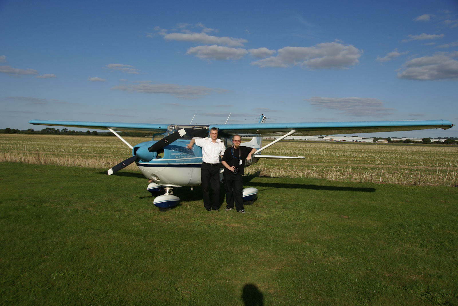
| 15:37, 9 December 2009 | DSC07698.jpg (file) |  |
702 KB | The plane and crew used for the stratford imagery project. | 1 |
| 16:03, 17 November 2009 | Mapzen-236.png (file) |  |
478 KB | 1 | |
| 15:57, 17 November 2009 | Mapzen-235.png (file) |  |
86 KB | 1 | |
| 15:57, 17 November 2009 | Mapzen-234.png (file) |  |
78 KB | 1 | |
| 15:56, 17 November 2009 | Mapzen-233.png (file) |  |
83 KB | 1 | |
| 15:56, 17 November 2009 | Mapzen-232.png (file) |  |
81 KB | 1 | |
| 15:56, 17 November 2009 | Mapzen-231.png (file) |  |
231 KB | 1 | |
| 15:55, 17 November 2009 | Mapzen-230.png (file) |  |
140 KB | 1 | |
| 15:55, 17 November 2009 | Mapzen-229.png (file) |  |
483 KB | 1 | |
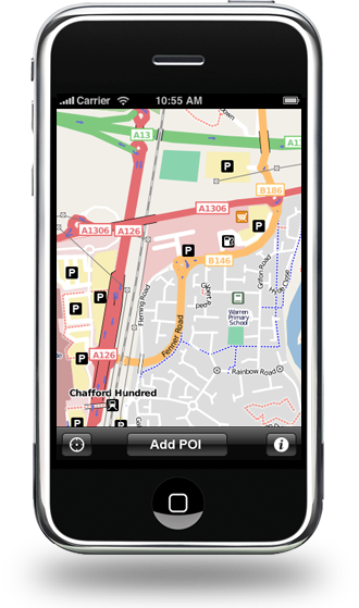
| 15:50, 23 October 2009 | Mapzen POI Collector.png (file) |  |
154 KB | Mapzen POI Collector is an application available for the iPhone. | 1 |
| 17:09, 4 September 2009 | Stateofthemap2008.svg (file) | 34 KB | The State of the Map logo 2008 | 1 | |
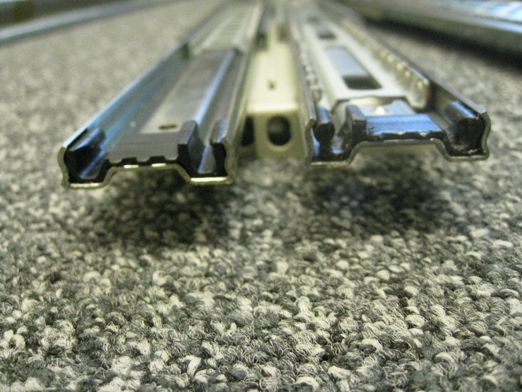
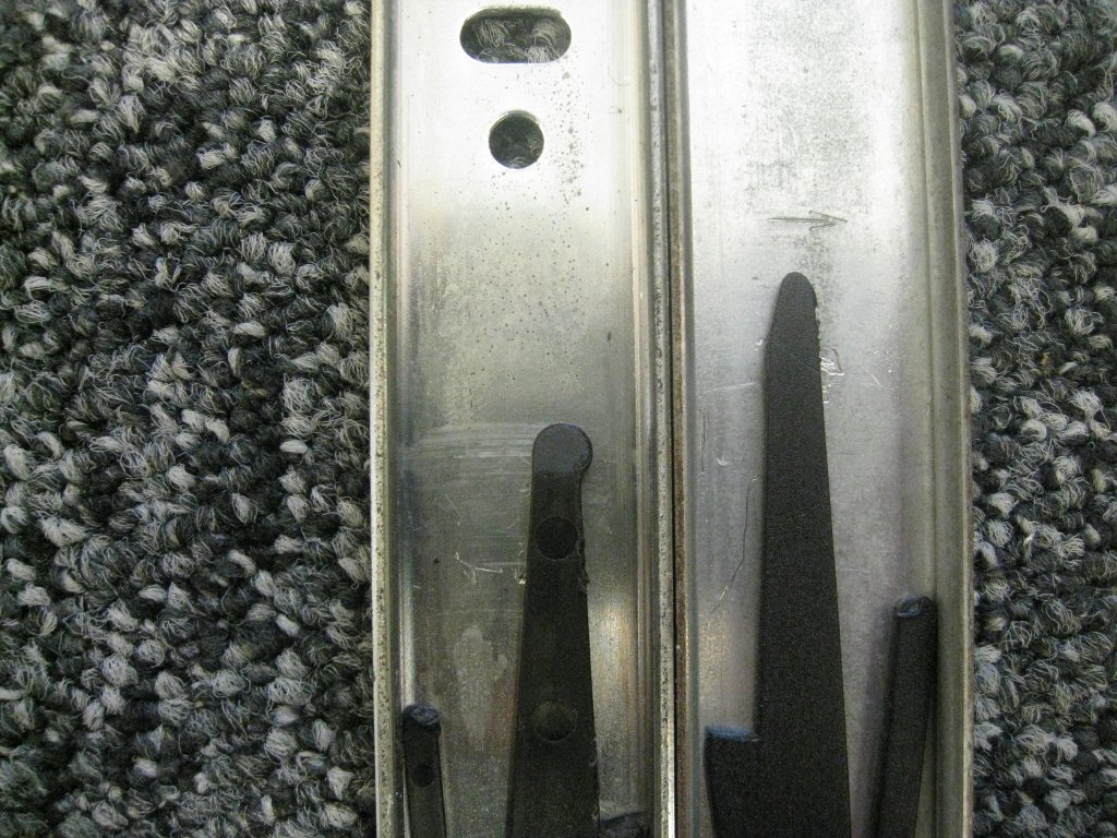
| 11:26, 27 August 2009 | Fixed-rails-end-on.jpg (file) |  |
185 KB | An end-on view of the two types of rails | 1 |
| 11:21, 27 August 2009 | Fixed-rail-types.jpg (file) |  |
223 KB | The two types of fixed rail - rounded and straight. | 1 |
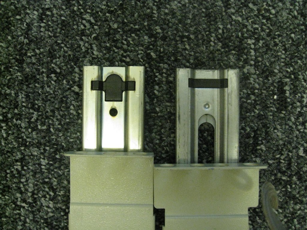
| 11:17, 27 August 2009 | Catches.jpg (file) |  |
227 KB | Two types of catches - round on the left, straight on the right | 1 |
| 13:57, 28 July 2009 | Cityroutes.png (file) |  |
283 KB | A snapshot from harry's cityroutes map | 1 |
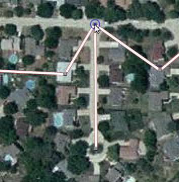
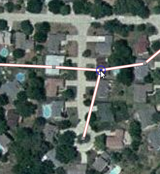
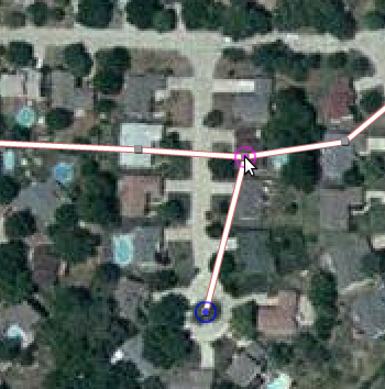
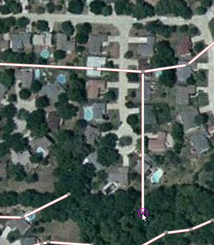
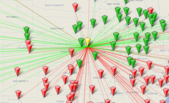
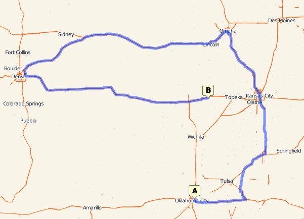
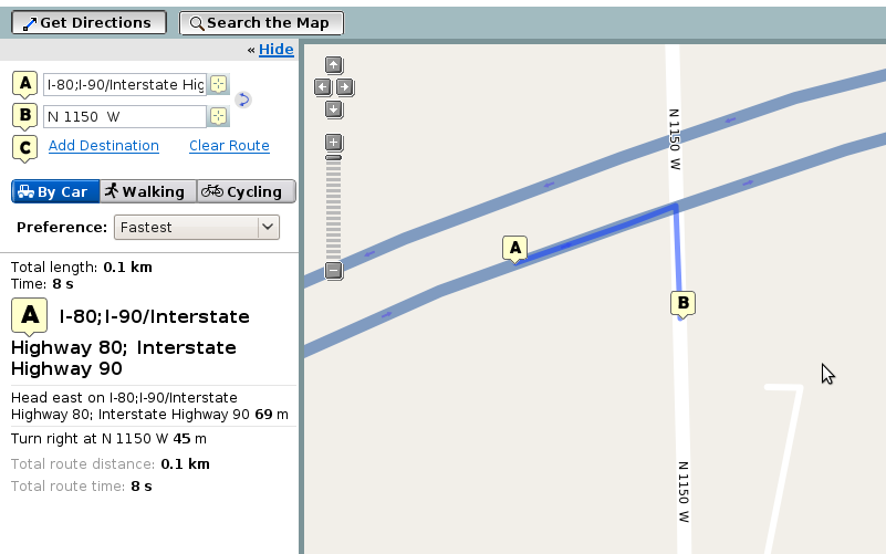
| 13:26, 28 July 2009 | Longwayround.png (file) |  |
61 KB | A screenshot showing a rather tortuous route over OSM data. | 1 |
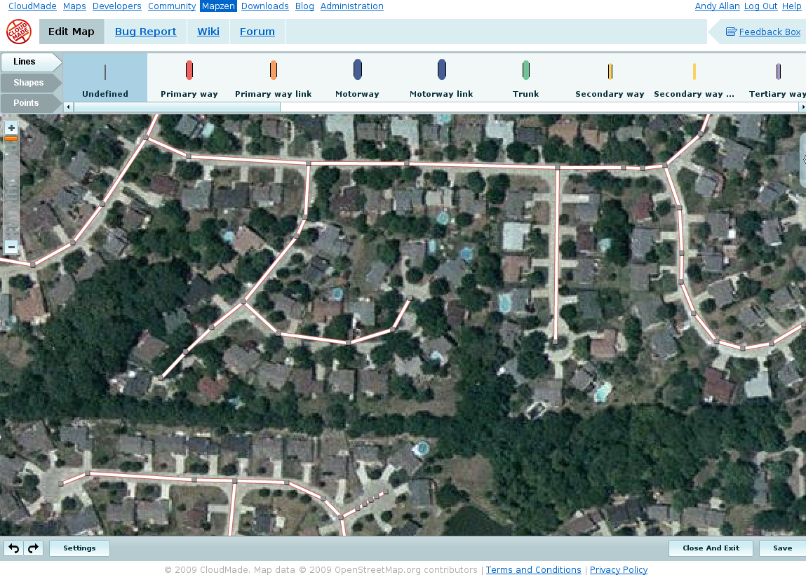
| 13:43, 17 July 2009 | Mapzen.png (file) |  |
159 KB | An early screenshot from the Mapzen mapping tool | 1 |
| 10:58, 27 May 2009 | TIGER-freeway-7.png (file) |  |
56 KB | 1 | |
| 10:57, 27 May 2009 | TIGER-freeway-6.png (file) |  |
324 KB | 1 | |
| 10:57, 27 May 2009 | TIGER-freeway-5.png (file) |  |
318 KB | 1 | |
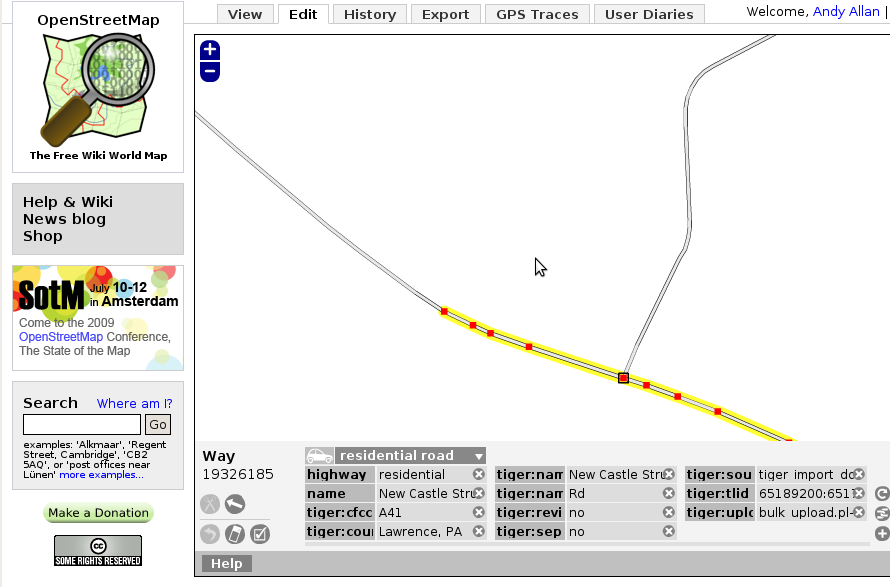
| 10:56, 27 May 2009 | TIGER-freeway-4.png (file) |  |
324 KB | 1 | |
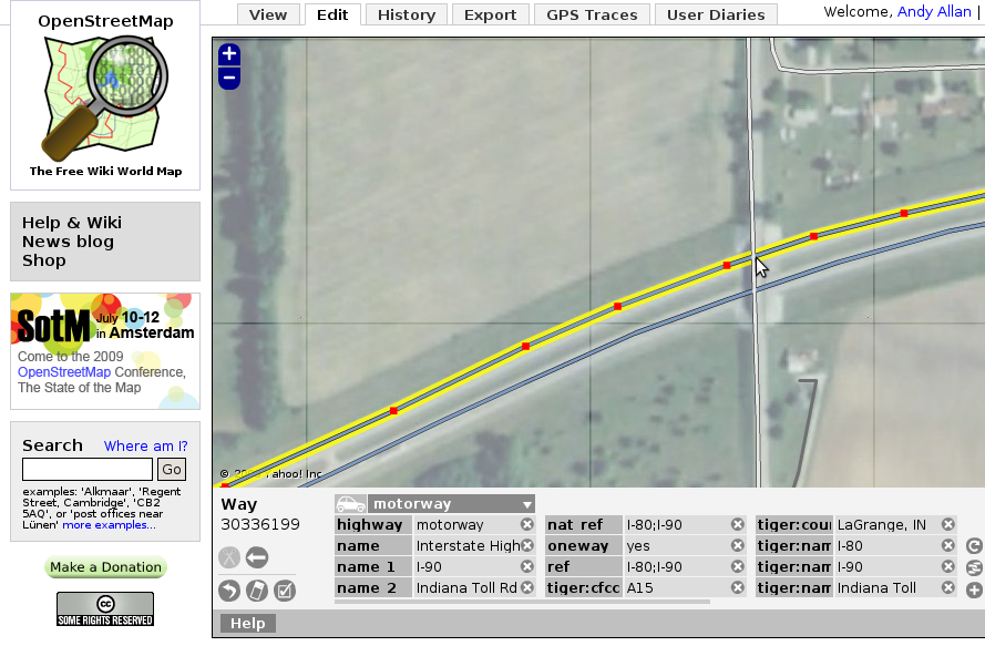
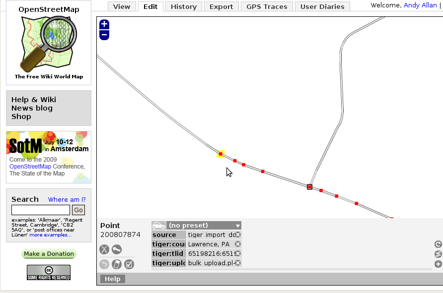
| 10:55, 27 May 2009 | TIGER-freeway-3.png (file) |  |
320 KB | 1 | |
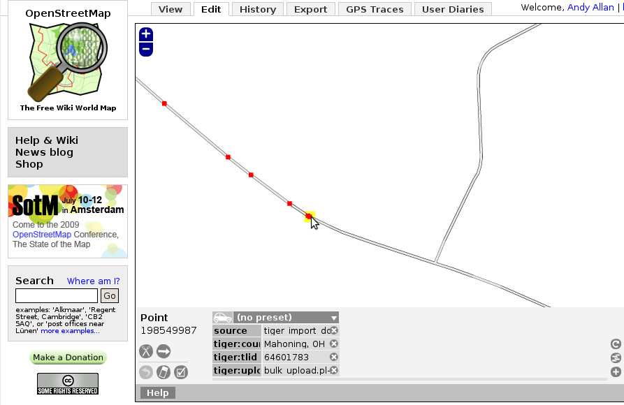
| 10:54, 27 May 2009 | TIGER-freeway-2.png (file) |  |
325 KB | 1 | |
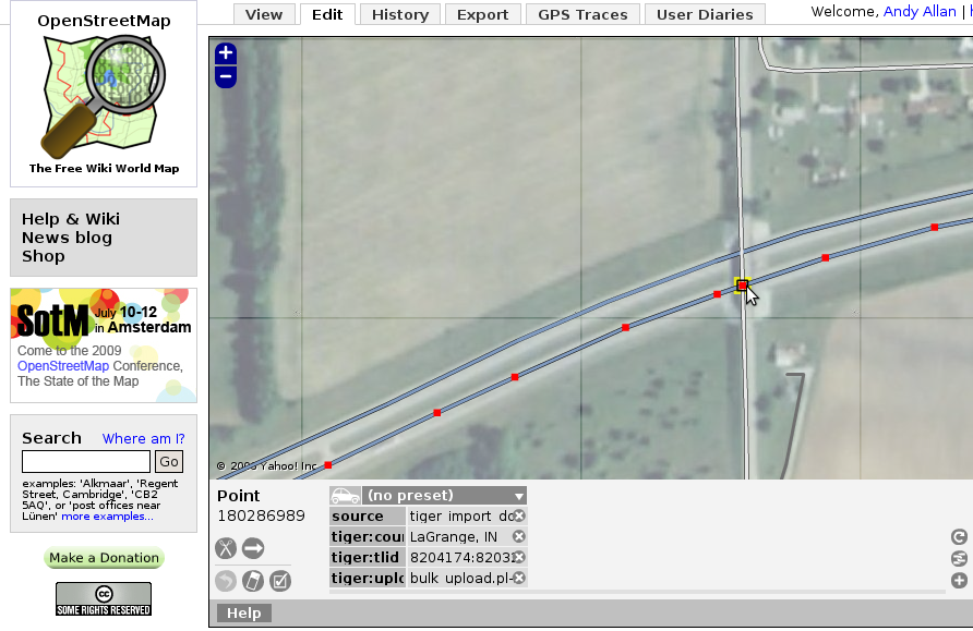
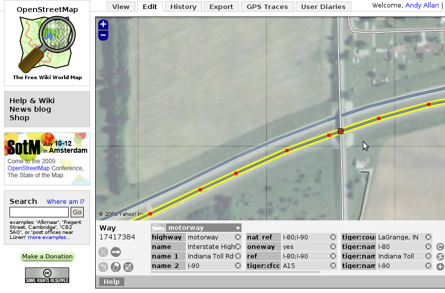
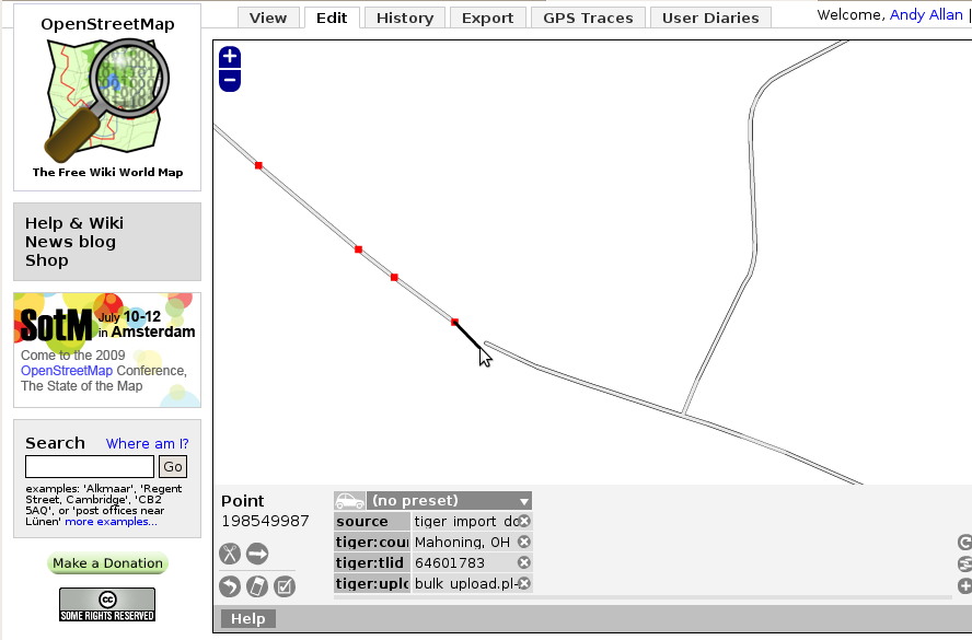
| 10:54, 27 May 2009 | TIGER-freeway-1.png (file) |  |
310 KB | 1 | |
| 14:49, 26 May 2009 | TIGER-county-6.png (file) |  |
101 KB | Fixing up county border connectivity | 1 |
| 14:49, 26 May 2009 | TIGER-county-5.png (file) |  |
93 KB | Fixing up county border connectivity | 1 |
| 14:48, 26 May 2009 | TIGER-county-4.png (file) |  |
93 KB | Fixing up county border connectivity | 1 |
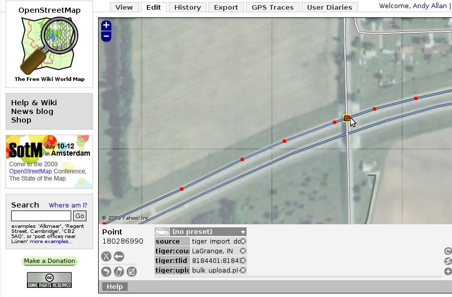
| 14:47, 26 May 2009 | TIGER-county-3.png (file) |  |
94 KB | Fixing up county border connectivity | 1 |
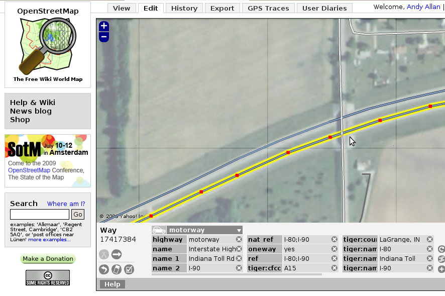
| 14:47, 26 May 2009 | TIGER-county-2.png (file) |  |
101 KB | Fixing up county border connectivity | 1 |
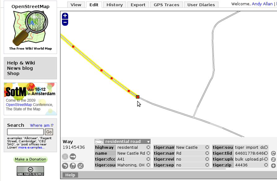
| 14:43, 26 May 2009 | TIGER-county-1.png (file) |  |
83 KB | Fixing up county border connectivity | 1 |
| 11:44, 1 December 2008 | AndyAllan.jpg (file) |  |
12 KB | 1 | |
| 12:25, 6 November 2008 | APIzza 0.6.JPG (file) |  |
461 KB | Eating Pizza during the APIzza 0.6 development evening. More photos at http://www.flickr.com/photos/gravitystorm/sets/72157608698959678/ | 1 |
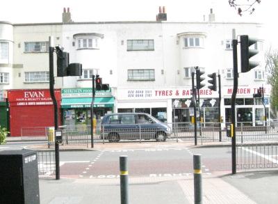
| 09:13, 6 May 2008 | Pelican.jpg (file) |  |
54 KB | A pelican crossing. A second crossing, for the other carriageway, is out of sight to the left. | 1 |
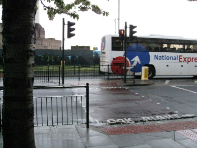
| 08:56, 6 May 2008 | Toucan.jpg (file) |  |
55 KB | A typical toucan crossing. The upper signal is a red man, and the lower signals are a green man and a green bicycle. A second toucan crossing can be seen in the background for the other carriageway. | 1 |
| 14:40, 23 February 2008 | Cycle contours.png (file) |  |
464 KB | A section of the cycle map showing multi-coloured contours. Taken from http://www.gravitystorm.co.uk/osm/?zoom=13&lat=7284975.8052&lon=-323711.38374&layers=B00 | 1 |
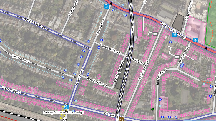
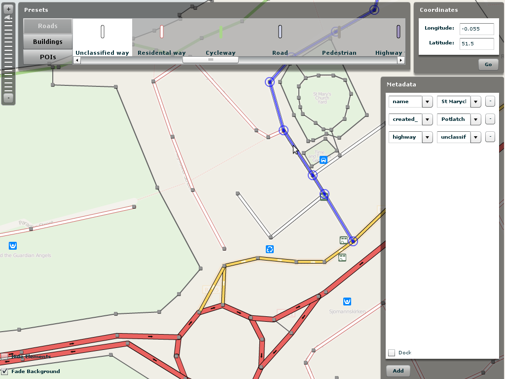
| 17:26, 13 January 2008 | Osm putney cycle.jpg (file) |  |
41 KB | 2 | |
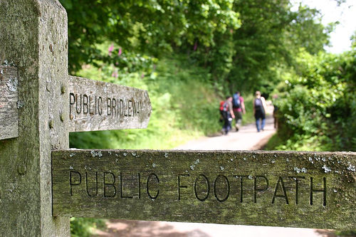
| 18:09, 23 April 2007 | Public footpath.jpg (file) |  |
60 KB | Picture taken by ~~~. Taken long before I started work on Openstreetmap, but who cares? Also found at http://flickr.com/photos/gravitystorm/17598841/in/set-1823165. I am the copyright holder of this image, and so it is hereby relicensed to cc-by-sa | 1 |
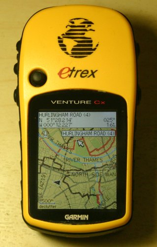
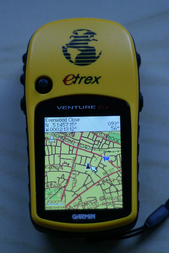
| 12:19, 7 January 2007 | Putney-on-gps.jpg (file) |  |
113 KB | OSM map showing Putney on a Garmin Venture Cx. Created using mkgmap | 1 |