Uploads by Mateusz Konieczny
Jump to navigation
Jump to search
This special page shows all uploaded files.
| Date | Name | Thumbnail | Size | Description | Versions |
|---|---|---|---|---|---|
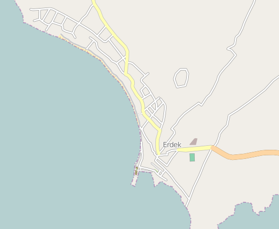
| 16:26, 14 August 2022 | Ocaklar.png (file) |  |
54 KB | Reverted to version as of 19:52, 26 September 2012 (UTC) | 5 |
| 14:17, 1 April 2022 | Wikidata marked.png (file) |  |
124 KB | photo: https://commons.wikimedia.org/wiki/File:Hotel_pool_-_panoramio.jpg {{cc-by-3.0|Валерий Дед}} icon: CC0 text - not qualifying for copyright, I think | 1 |
| 01:13, 26 March 2022 | ClotingandShoesDrop.jpg (file) |  |
1.33 MB | Reverted to version as of 14:15, 26 October 2021 (UTC) | 3 |
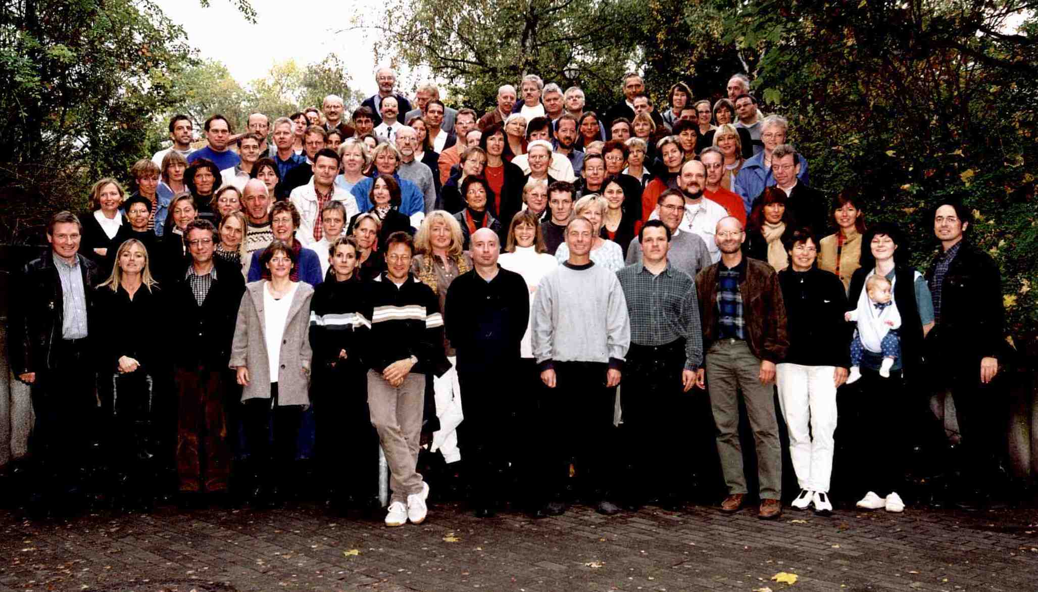
| 14:59, 26 January 2022 | Kollegen2002.jpg (file) |  |
190 KB | Reverted to version as of 07:07, 30 August 2008 (UTC) | 3 |
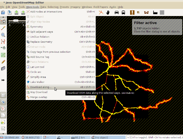
| 01:47, 10 January 2022 | Downloadalong04.png (file) |  |
212 KB | Reverted to version as of 00:37, 10 August 2015 (UTC) | 3 |
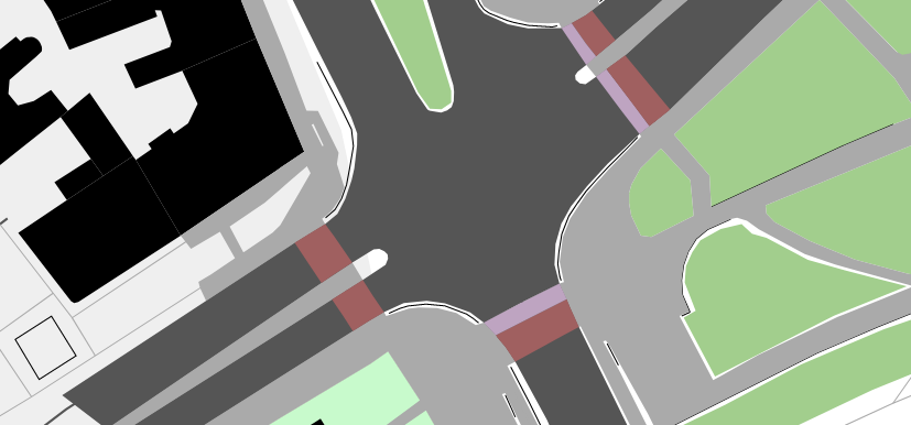
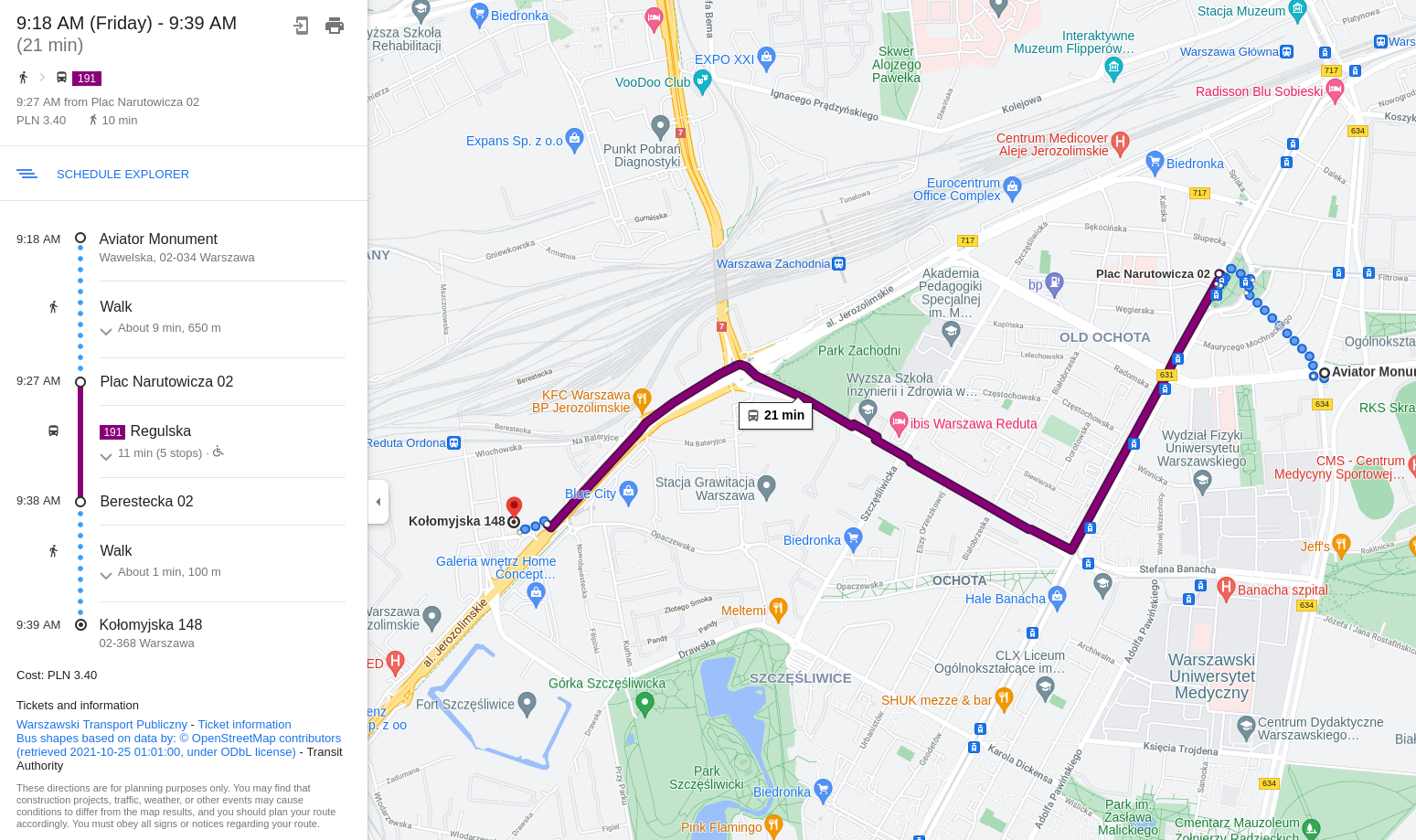
| 20:29, 22 November 2021 | General high zoom - road crossing.png (file) |  |
74 KB | https://mapsaregreat.com/osm_to_svg_in_browser/general_high_zoom rendering of OSM data | 1 |
| 21:44, 28 October 2021 | OpenStreetMap data used by Google Maps.png (file) |  |
962 KB | fair use claim for use of copyrighted data on unfree license | 1 |
| 12:12, 27 October 2021 | Vibrating button illustration.jpg (file) |  |
46 KB | author: Tobias Zwick https://github.com/streetcomplete/StreetComplete/blob/master/app/src/main/res/drawable-xxhdpi/vibrating_button_illustration.jpg https://github.com/streetcomplete/StreetComplete/blob/master/app/src/main/res/authors.txt | 1 |
| 15:52, 9 October 2021 | Surface concrete plates.jpg (file) |  |
588 KB | from https://www.geograph.org.uk/photo/3131358 © Copyright Richard Humphrey {{CC-BY-SA 2.0}} | 1 |
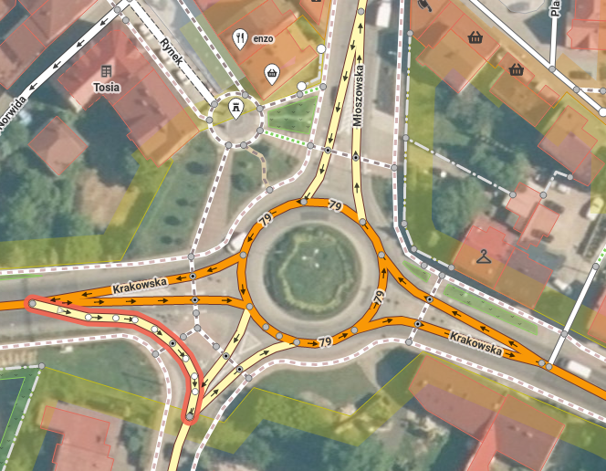
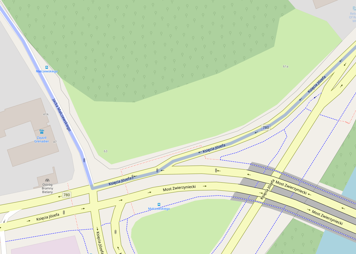
| 16:53, 21 September 2021 | Roundabout with marked link.png (file) |  |
559 KB | https://www.openstreetmap.org/edit?editor=id#map=19/50.15841/19.47308 {{ODbL OpenStreetMap}} | 1 |
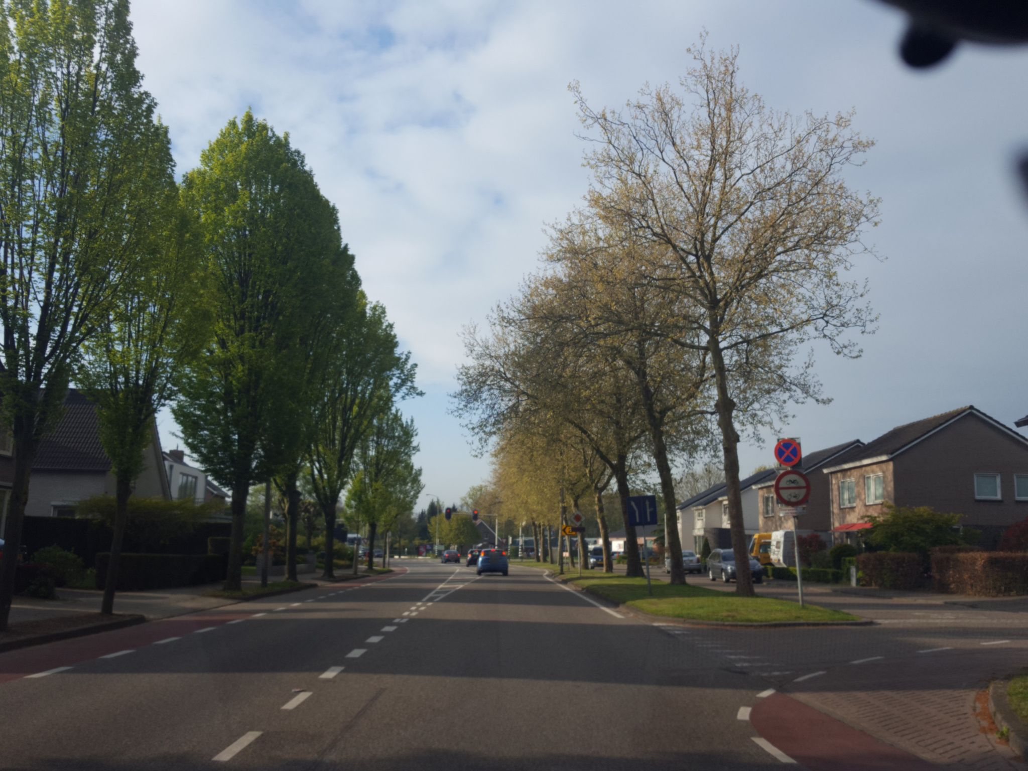
| 13:05, 22 July 2021 | Oneway only for cyclist.jpeg (file) |  |
334 KB | {{Mapillary}} Image by ghyze from https://www.mapillary.com/app/?lat=51.240327632643&lng=5.7175007503816&z=17&pKey=918625218989338&focus=photo | 1 |
| 09:44, 6 May 2021 | StreetComplete opening hours quest.png (file) |  |
194 KB | Streetcomplete screenhot | 1 |
| 11:35, 15 February 2021 | Reporting spammer on osm website.png (file) | 18 KB | {{PD-text}} | 1 | |
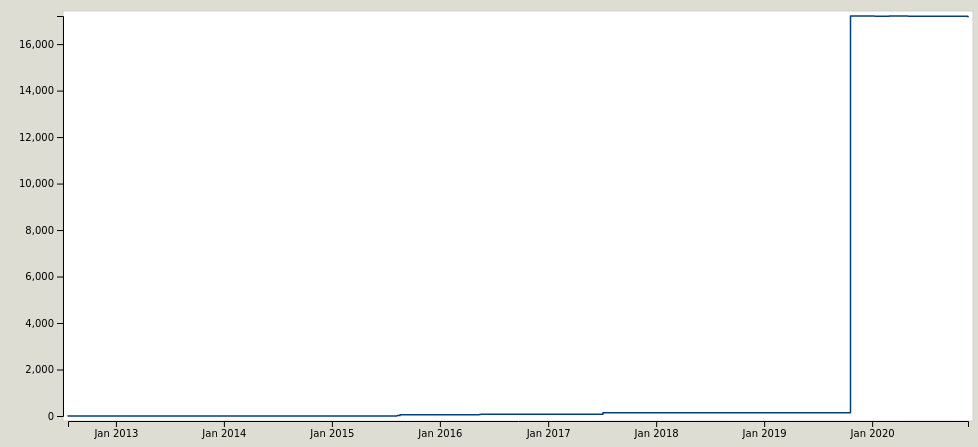
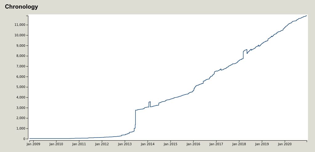
| 08:42, 24 January 2021 | Species-no was imported.png (file) |  |
11 KB | From https://taginfo.openstreetmap.org/keys/species:no#chronology | 1 |
| 20:55, 16 January 2021 | Use sidepath2.png (file) |  |
231 KB | https://www.openstreetmap.org/directions?engine=graphhopper_bicycle&route=50.04998%2C19.90597%3B50.05036%2C19.90216#map=19/50.04942/19.90453 | 1 |
| 20:48, 16 January 2021 | Use sidepath.png (file) |  |
74 KB | 1 | |
| 11:30, 18 December 2020 | Addr-floor use.jpg (file) |  |
26 KB | https://taginfo.openstreetmap.org/keys/addr%3Afloor#chronology | 1 |
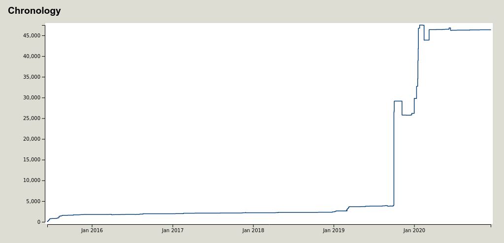
| 11:29, 18 December 2020 | Level-ref use.jpg (file) |  |
24 KB | https://taginfo.openstreetmap.org/keys/level:ref#chronology | 1 |
| 20:41, 13 December 2020 | Aerial geoportal.png (file) |  |
342 KB | Aerial of https://www.openstreetmap.org/#map=19/50.06092/19.85230 location from Geoportal.gov.pl | 1 |
| 20:40, 13 December 2020 | LIDAR geoportal ISOK Cień.png (file) |  |
113 KB | LIDAR of https://www.openstreetmap.org/#map=19/50.06092/19.85230 location from Geoportal.gov.pl | 1 |
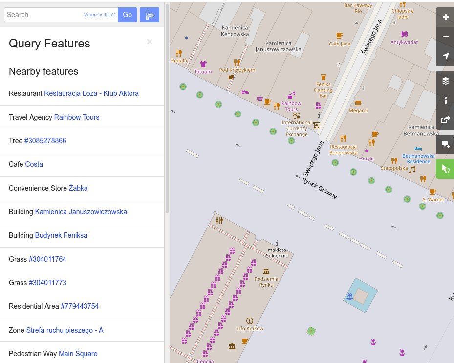
| 18:16, 11 October 2020 | Query feature in action.png (file) |  |
182 KB | 1 | |
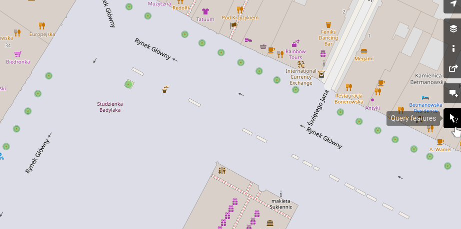
| 18:14, 11 October 2020 | Query feature.gif (file) |  |
93 KB | query feature in action at https://www.openstreetmap.org/query?lat=50.06257&lon=19.93780#map=19/50.06220/19.93803 | 1 |
| 10:29, 6 December 2019 | Dead end hiking route.png (file) |  |
124 KB | https://en.mapy.cz/turisticka?x=19.8601835&y=49.2256986&z=15 | 1 |
| 20:57, 29 September 2019 | StreetComplete - leaf type quest.png (file) |  |
712 KB | Screenshot from StreetComplete made by Tobias Zwick and GPLv3 licenced. Leaf icon made by Tobias Zwick and CC-BY-SA 4.0 licenced. Map data is made by OpenStreetMap contributors and ODBL licenced. needleleaved photo - CC-BY 3.0 by Jane Richardson ( https://commons.wikimedia.org/wiki/File:Whitebark_pine_Pinus_albicaulis_needle_clusters.jpg ) broadleaved photo - CC-BY-SA 2.0 by Matt Lavin ( https://commons.wikimedia.org/wiki/File:Populus_tremuloides_(5002308731).jpg ) leaf_type_mixed - CC0 by... | 1 |
| 19:42, 29 September 2019 | StreetComplete - splitting way.gif (file) |  |
7.52 MB | Screenshot from StreetComplete made by Tobias Zwick and GPLv3 licenced. Lantern, scissors icons made by Tobias Zwick and CC-BY-SA 4.0 licenced. Map data is made by OpenStreetMap contributors and ODBL licenced. | 1 |
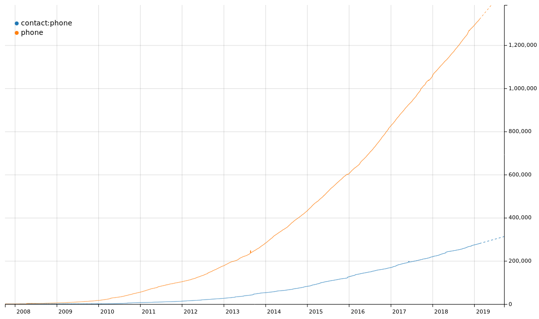
| 12:47, 19 September 2019 | Taghistory - dominance of simple scheme over contact prefix.png (file) |  |
45 KB | 1 | |
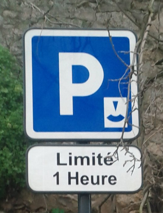
| 10:42, 19 July 2019 | Max stay cropped.png (file) |  |
388 KB | derivative of https://wiki.openstreetmap.org/wiki/File:OSM_maxstay_photo.jpg | 1 |
| 13:58, 5 July 2019 | LSouthWestOf25andaHalf.jpg (file) |  |
10 KB | 1 | |
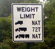
| 18:30, 25 June 2019 | US weight limit sign = single axle, tandem axle, gross weight.png (file) |  |
43 KB | https://www.fhwa.dot.gov/multimedia/research/infrastructure/bridges/ltbp/images/trb2014_pooledfund_update_fig03.jpg from https://www.fhwa.dot.gov/multimedia/research/infrastructure/bridges/ltbp/trb2014_pooledfund_update.cfm Work of US federal governme... | 1 |
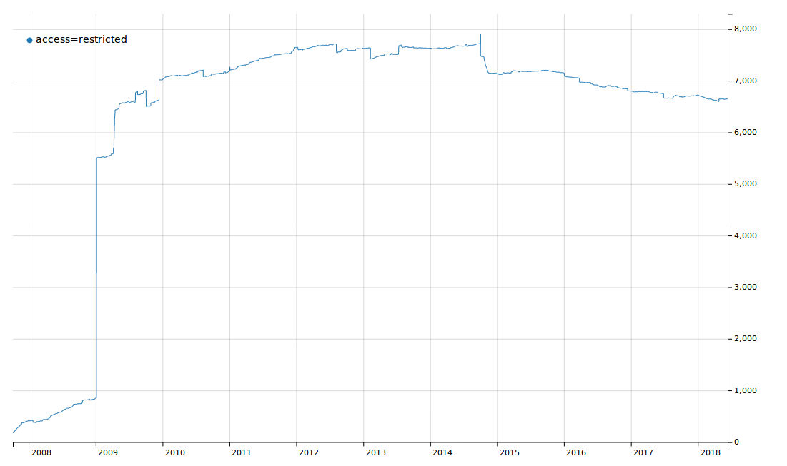
| 18:42, 27 February 2019 | Access=restricted.png (file) |  |
24 KB | 1 | |
| 21:28, 28 November 2018 | Mapping for blind - Screenshot 2018-11-28-22-25-12-733 de.westnordost.streetcomplete.png (file) |  |
490 KB | 1 | |
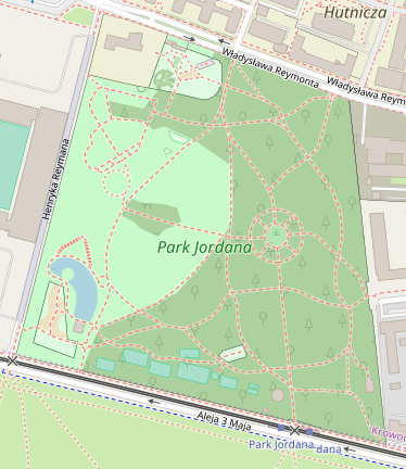
| 10:44, 10 July 2018 | Park Jordana.png (file) |  |
122 KB | 1 | |
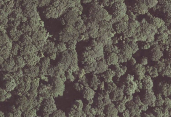
| 19:58, 15 October 2017 | Area affected by landuse imports.png (file) |  |
1.04 MB | https://www.openstreetmap.org/#map=18/49.39878/18.98062 region, as of 2017-10-14 Area with overlapping forest areas created by landuse imports. | 1 |
| 08:29, 24 June 2016 | Rendering order in openstreetmap-carto.png (file) |  |
13 KB | 1 | |
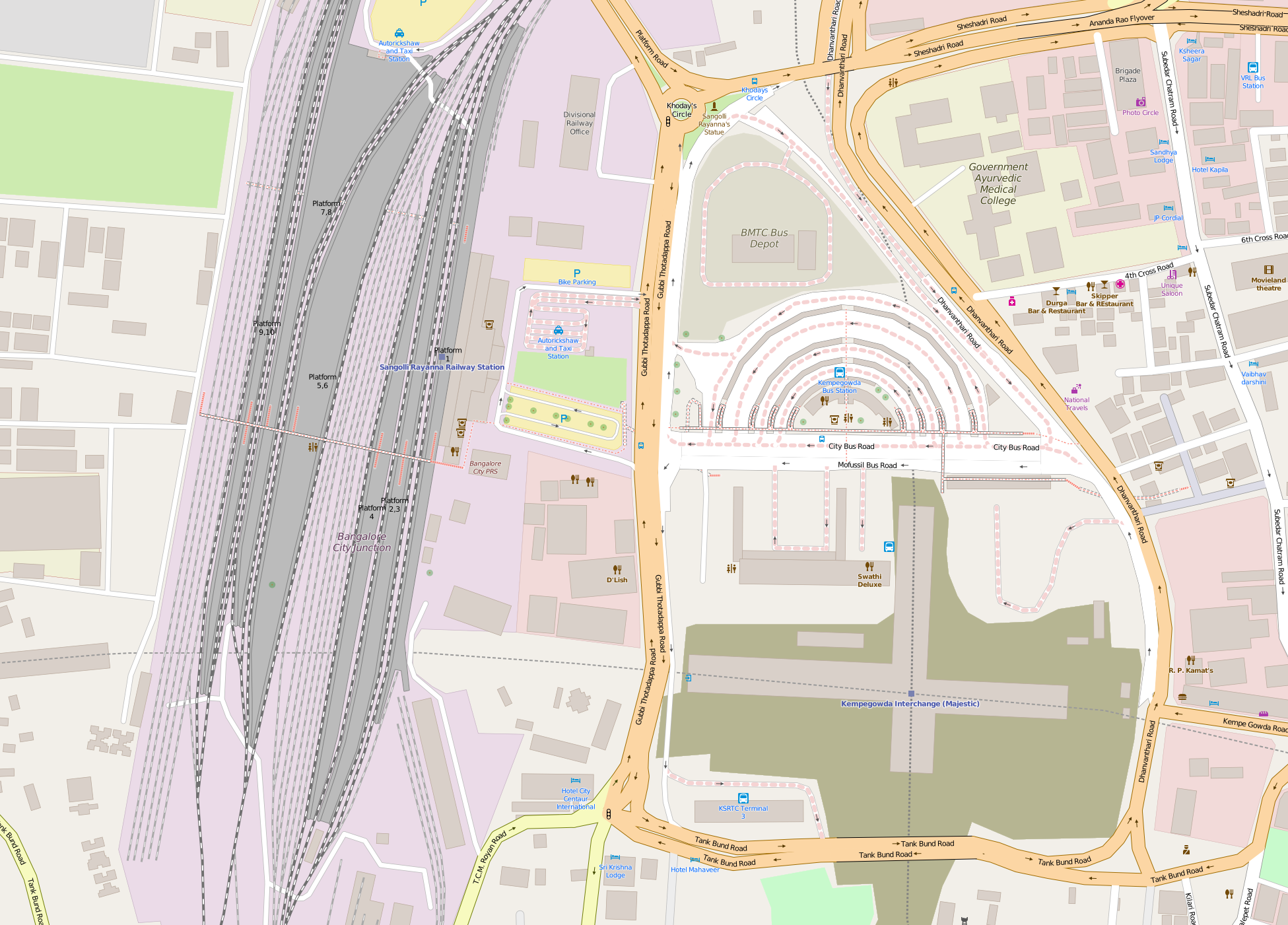
| 11:30, 23 June 2016 | Bengaluru City Railway Station and Majestic Bus Station map.png (file) |  |
1.25 MB | new version of map style (for example - railways were changed) | 3 |
| 22:58, 17 June 2016 | OpenMapSurfer - example.png (file) |  |
152 KB | 1 | |
| 17:05, 27 January 2016 | Multivalue ref support.png (file) | 4 KB | 1 | ||
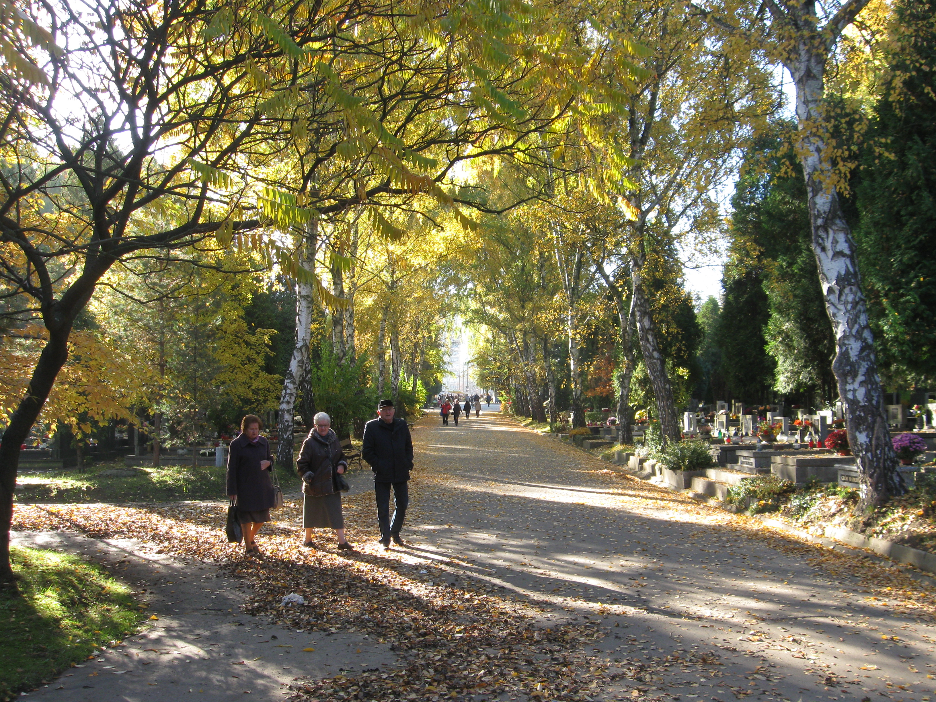
| 15:22, 14 November 2015 | Highway=pedestrian on cemetery.JPG (file) |  |
3.74 MB | 1 | |
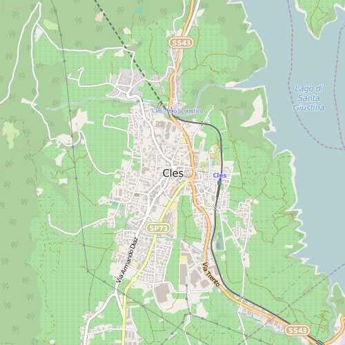
| 11:22, 21 September 2015 | Cles - Default Map Style.png (file) |  |
63 KB | Generated with CartoCSSHelper.visualise_place_by_url(' http://www.openstreetmap.org/?mlat=46.3653&mlon=11.0332#map=14/46.3653/11.0332', 14..14, 'master', 'master', nil, 0.4, 500) using CartoCSS Helper | 1 |
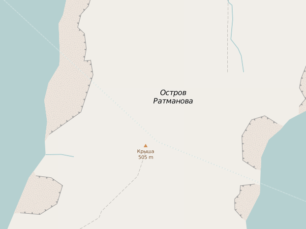
| 18:30, 14 July 2015 | Highway=proposed across Bering Strait.png (file) |  |
59 KB | 1 |