Uploads by Planemad
Jump to navigation
Jump to search
This special page shows all uploaded files.
| Date | Name | Thumbnail | Size | Description | Versions |
|---|---|---|---|---|---|
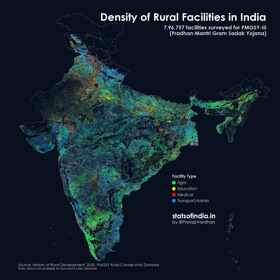
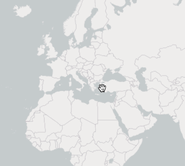
| 06:06, 26 February 2022 | Density of rural facilities in India.jpeg (file) |  |
261 KB | Visualization of the India/PMGSY_rural_connectivty_data_import rural POI data Source: Pratap Vardhan https://twitter.com/Stats_of_India/status/1496117483161657349 | 1 |
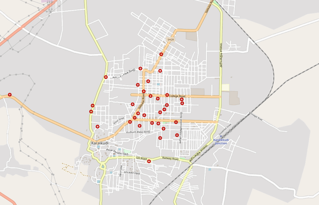
| 04:44, 17 August 2021 | Karaikudi mapping.gif (file) |  |
1.14 MB | A short timelapse of armchair mapping improvements in a day around Karaikudi town, India | 1 |
| 18:10, 10 November 2018 | India OpenStreetMap data loading in QGIS.gif (file) |  |
11.72 MB | 1 | |
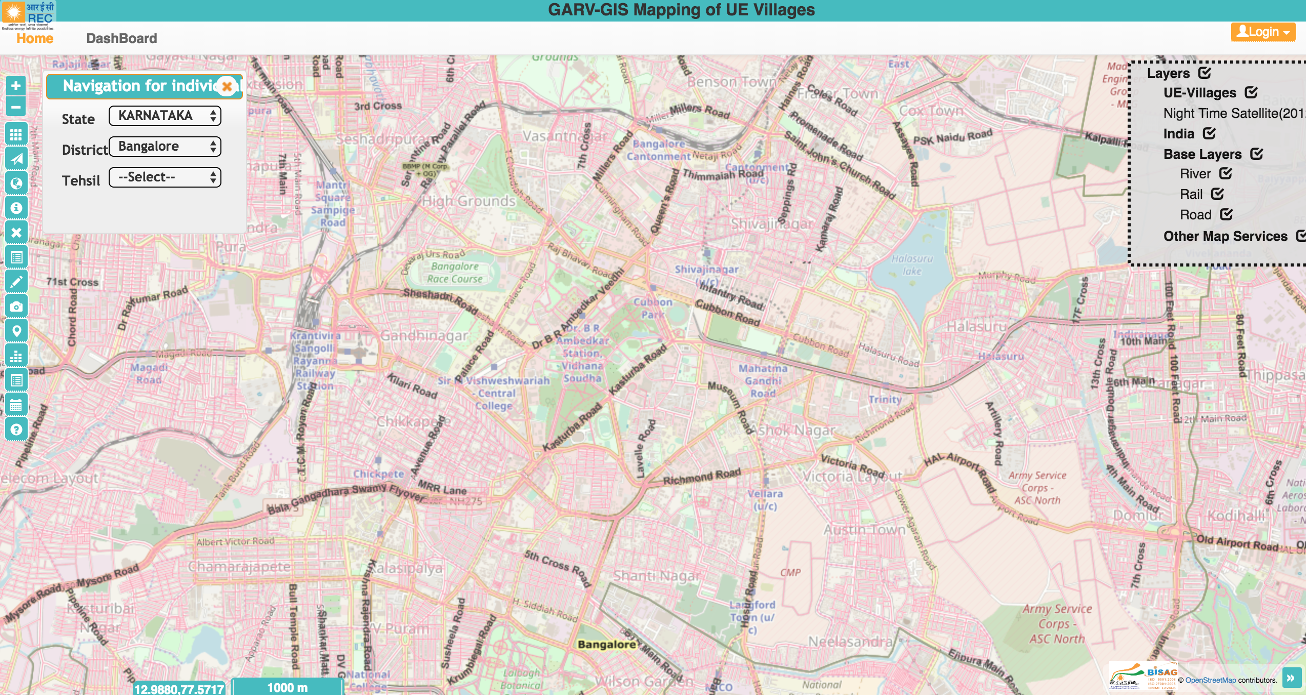
| 12:24, 13 May 2018 | GARV - Indian Government dashboard for rural electrification using OpenStreetMap.png (file) |  |
5.74 MB | Screenshot from the [https://ncog.gov.in/garvgis/login GARV dashboard] to track rural electrification in India using basemaps and road layer from OpenStreetMap. | 1 |
| 14:46, 22 December 2017 | OpenStreetMap tiles on Mapbox GL.gif (file) |  |
1.76 MB | A simple demo that loads default OSM tiles on a Mapbox GL map for smoother interactivity and client side tile color transformations. | 1 |
| 05:55, 10 May 2017 | Rendering of OSM data and terrain using Mapbox Unity SDK.gif (file) |  |
1.78 MB | A sample scene in Unity3D that renders OpenStreetMap data, Mapbox Satellite and elevation data using the [https://www.mapbox.com/unity/ Mapbox Unity SDK] for the Himalayan town of Dharmsala, India. | 1 |
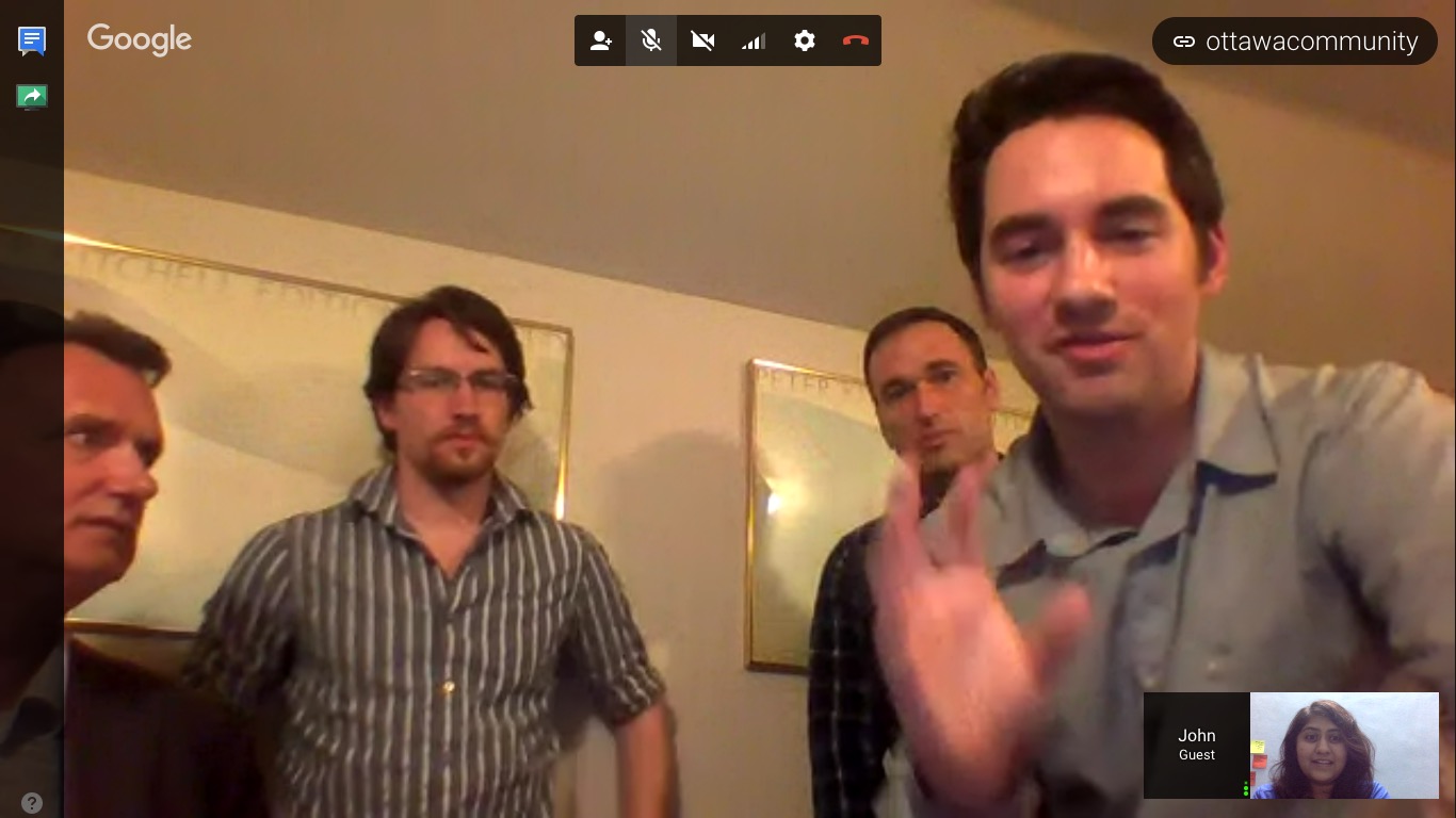
| 05:07, 10 April 2017 | Ottawa OSM community and Mapbox mapping party.jpeg (file) |  |
145 KB | Members of the OSM Ottawa community at the weekend [https://www.meetup.com/openstreetmap-ottawa/events/238685736/ mapping party] to discuss the Ottawa building import and mapping the remaining buildings in the city interacting with the [Mapbox data tea... | 1 |
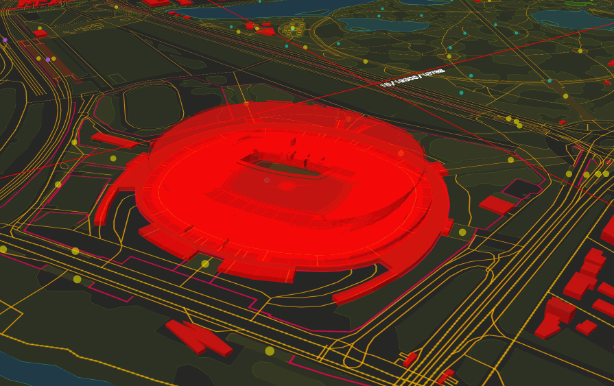
| 18:24, 7 March 2017 | PGE Narodowy 3D mapbox-gl-js.gif (file) |  |
2.08 MB | The super detailed 3D mapping of PGE Narodowy stadium in Warsaw rendered in the browser using [https://www.mapbox.com/mapbox-gl-js/examples mapbox-gl-js]. OSM: http://www.openstreetmap.org/#map=17/52.23942/21.04608 | 1 |
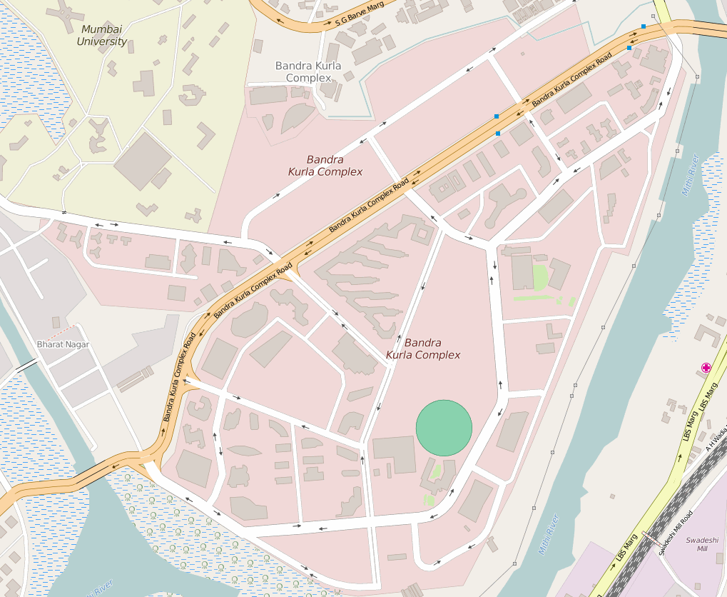
| 12:57, 14 July 2016 | Bandra Kurla Complex BKC OSM map improvement.gif (file) |  |
1.1 MB | Animation showing the details added to OSM at BKC, Mumbai. | 1 |
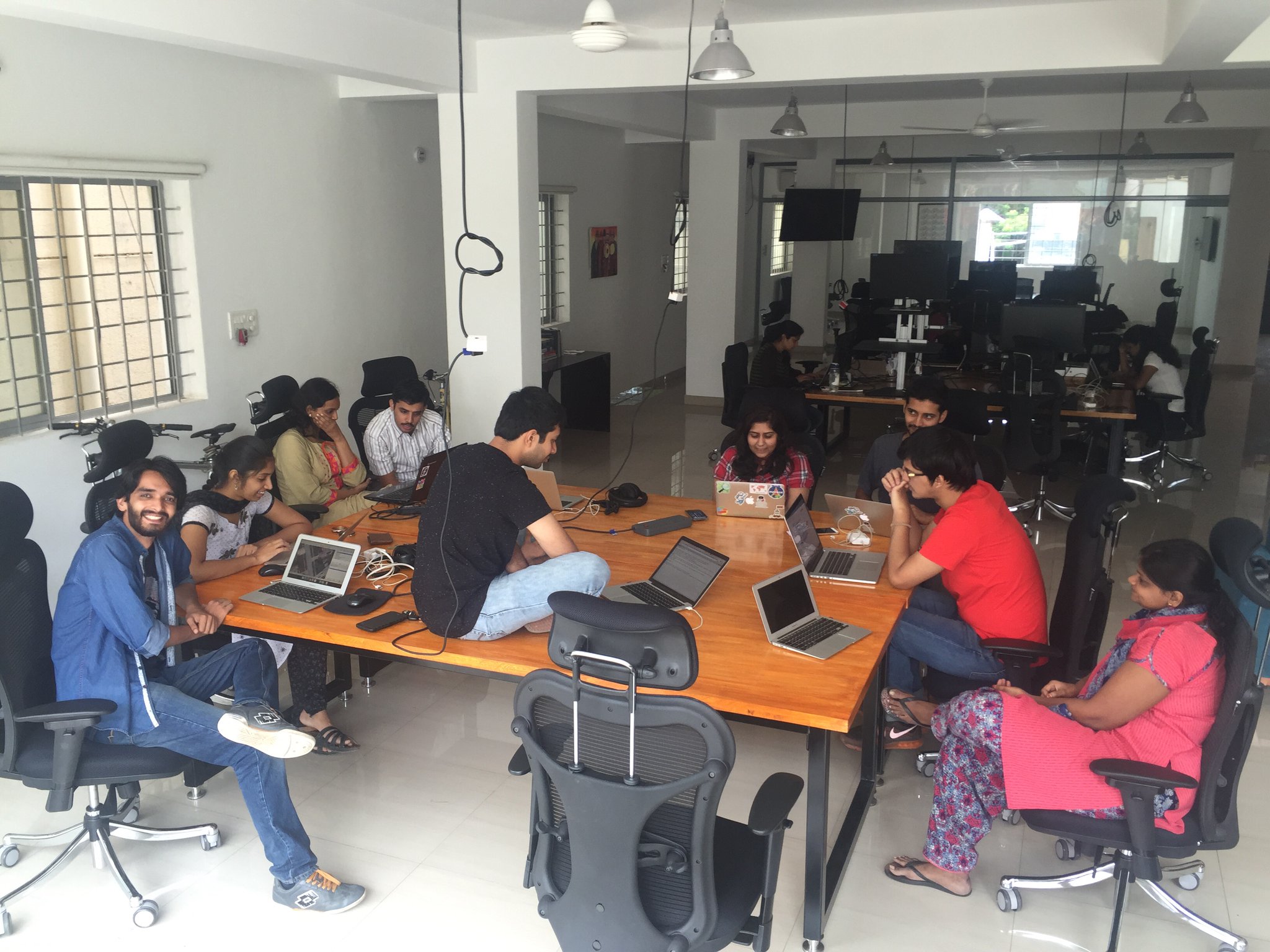
| 06:36, 15 June 2016 | Bengaluru Hack weekend planning at Mapbox BLR.jpeg (file) |  |
418 KB | Planning for the Bengaluru Hack weekend July 2016 | 1 |
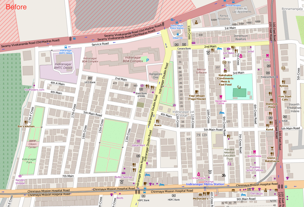
| 13:54, 3 June 2016 | Indiranagar building number mapping.gif (file) |  |
2.44 MB | Mapping sprint of buildings and housenumbers in Indiranagar, Bengaluru | 1 |
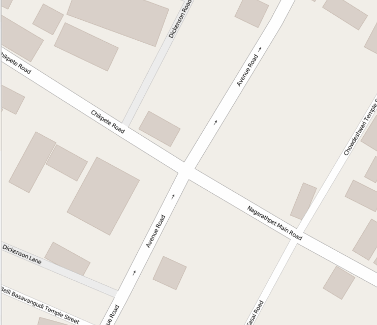
| 18:48, 26 May 2016 | Chickpete Bengaluru OSM improvement.gif (file) |  |
566 KB | Improving the map with details of buildings and shops after a walk in the densest part of Bengaluru city. This junction is also considered the first road created by the founder of the city | 1 |
| 18:45, 26 May 2016 | Corporation Circle, Bengaluru OSM improvement.gif (file) |  |
571 KB | Mapping in Central Bengaluru after a collecting notes from a walk | 1 |
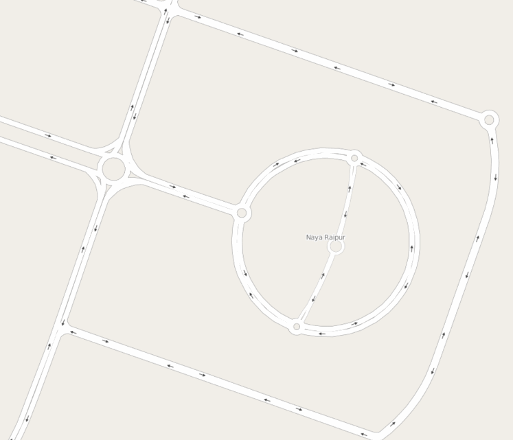
| 19:37, 21 May 2016 | Naya Raipur Capital Complex tracing .gif (file) |  |
766 KB | Tracing the Capital Complex area in Naya Raipur, India from Mapbox Satellite imagery. | 1 |
| 19:45, 1 May 2016 | Landuse detail mapping in Whitefield Bengaluru.gif (file) |  |
848 KB | Adding missing details to landuse from imagery. | 1 |
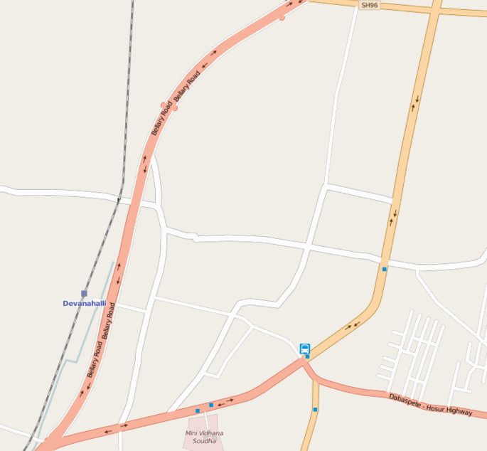
| 17:14, 8 April 2016 | Devanahalli map improvement.gif (file) |  |
428 KB | Adding details from Bing imagery at the historic town of Devanahalli near Bengaluru Airport. | 1 |
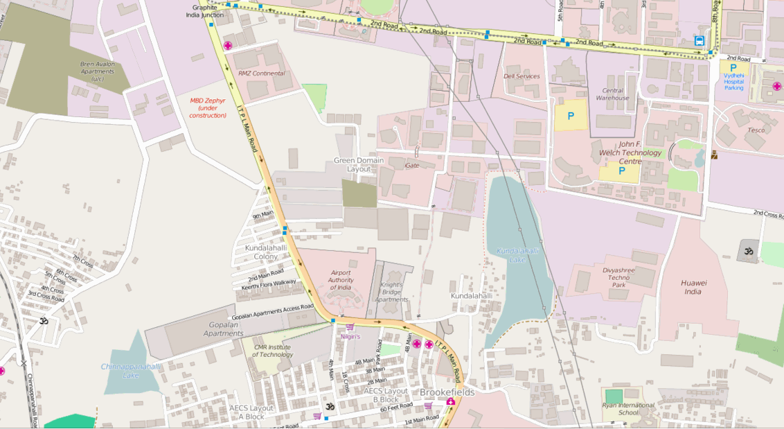
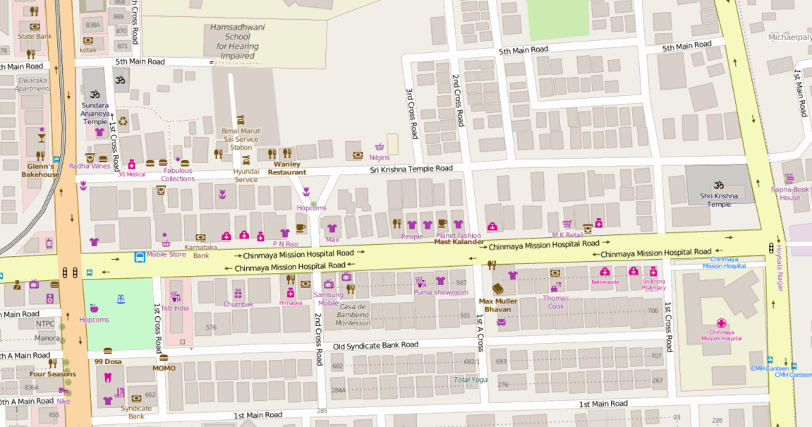
| 08:45, 6 April 2016 | Sri Krishna Temple Road mapping party, Indiranagar Bengaluru.gif (file) |  |
867 KB | Improvement of OSM during the mapping party by the Mapbox Data Team at Indiranagar, Bengaluru. | 1 |
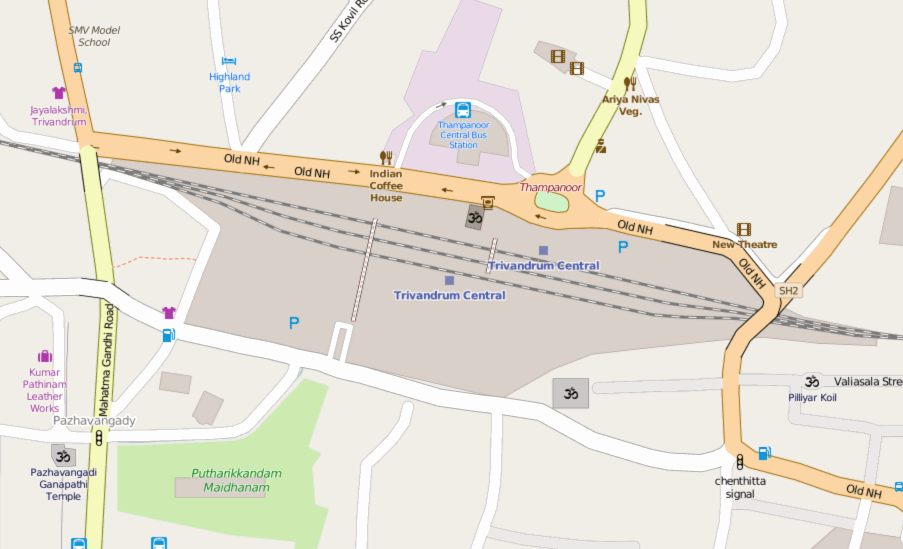
| 19:33, 16 March 2016 | Trivandrum Central OSM improvement.gif (file) |  |
321 KB | Improvement of details around the central station in Thiruvananthapuram, India. | 1 |
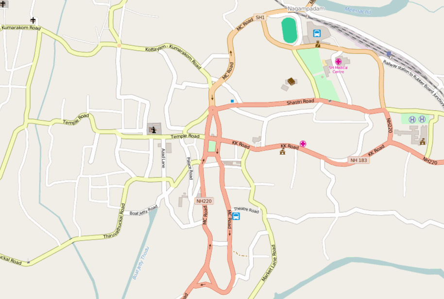
| 12:30, 7 March 2016 | Kottayam OSM improvement.gif (file) |  |
270 KB | Basemap improvements to Kottayam, India be reclassifying roads and fixing the tag of some important features. | 1 |
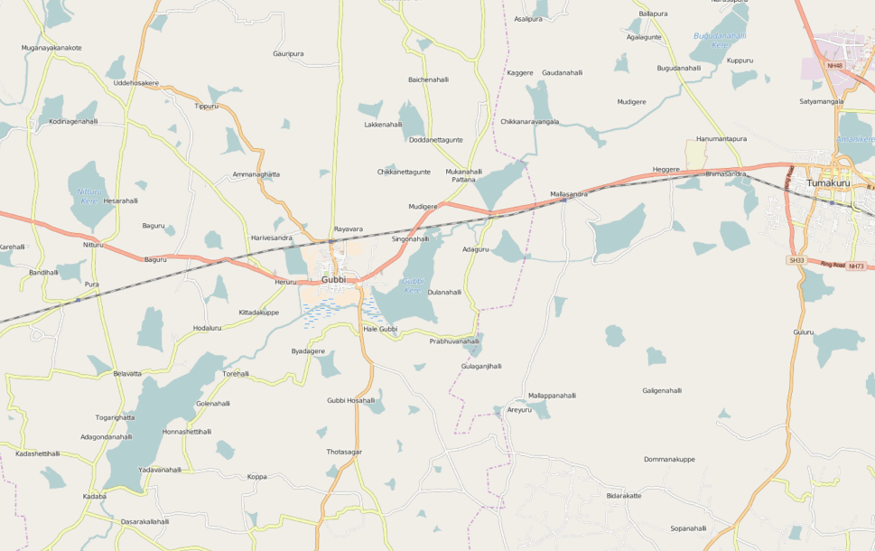
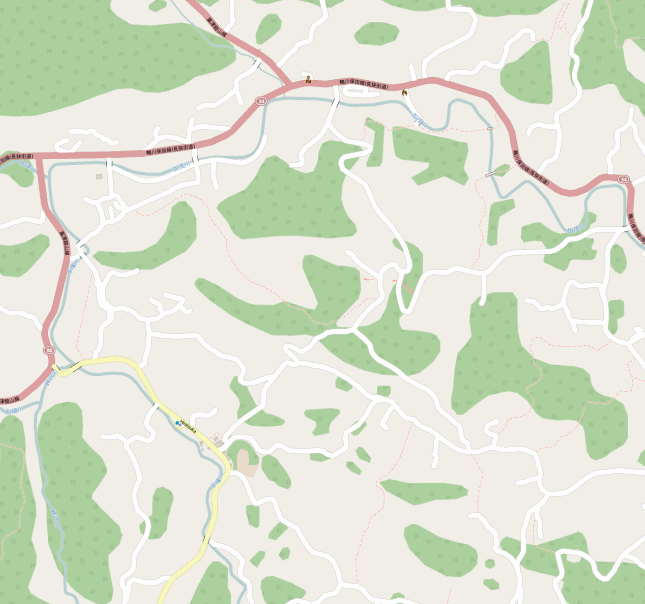
| 11:59, 1 March 2016 | Improvements to waterways around Gubbi, Karnataka.gif (file) |  |
605 KB | Improving waterway connections and road classifications near Gubbi, Karnataka using satellite imagery. Improvements done over 2 hours. | 1 |
| 16:18, 14 February 2016 | Kodihalli tree survey at Hasgeek.gif (file) |  |
507 KB | 5 of us added the locations of over 250 trees within 4 hours. Details http://openstreetmap.in/events/2016/02/13/bengaluru-tree-survey.html | 1 |
| 18:45, 27 January 2016 | Bengaluru BMTC bus network rural coverage.png (file) |  |
1.34 MB | Open bus route data from the Bengaluru BMTC overlaid on an OSM base map showing the network connectivity with neighbouring towns. | 1 |
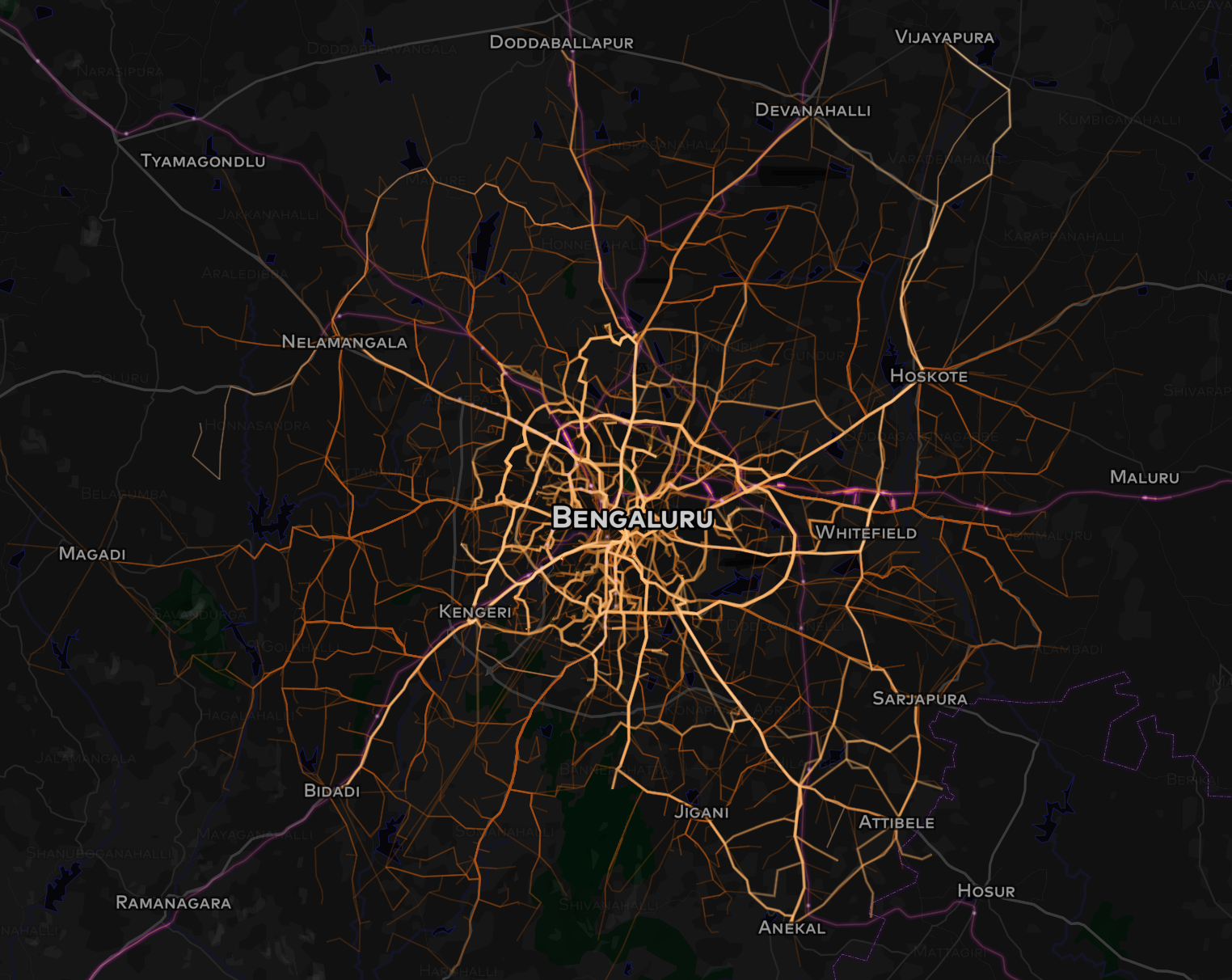
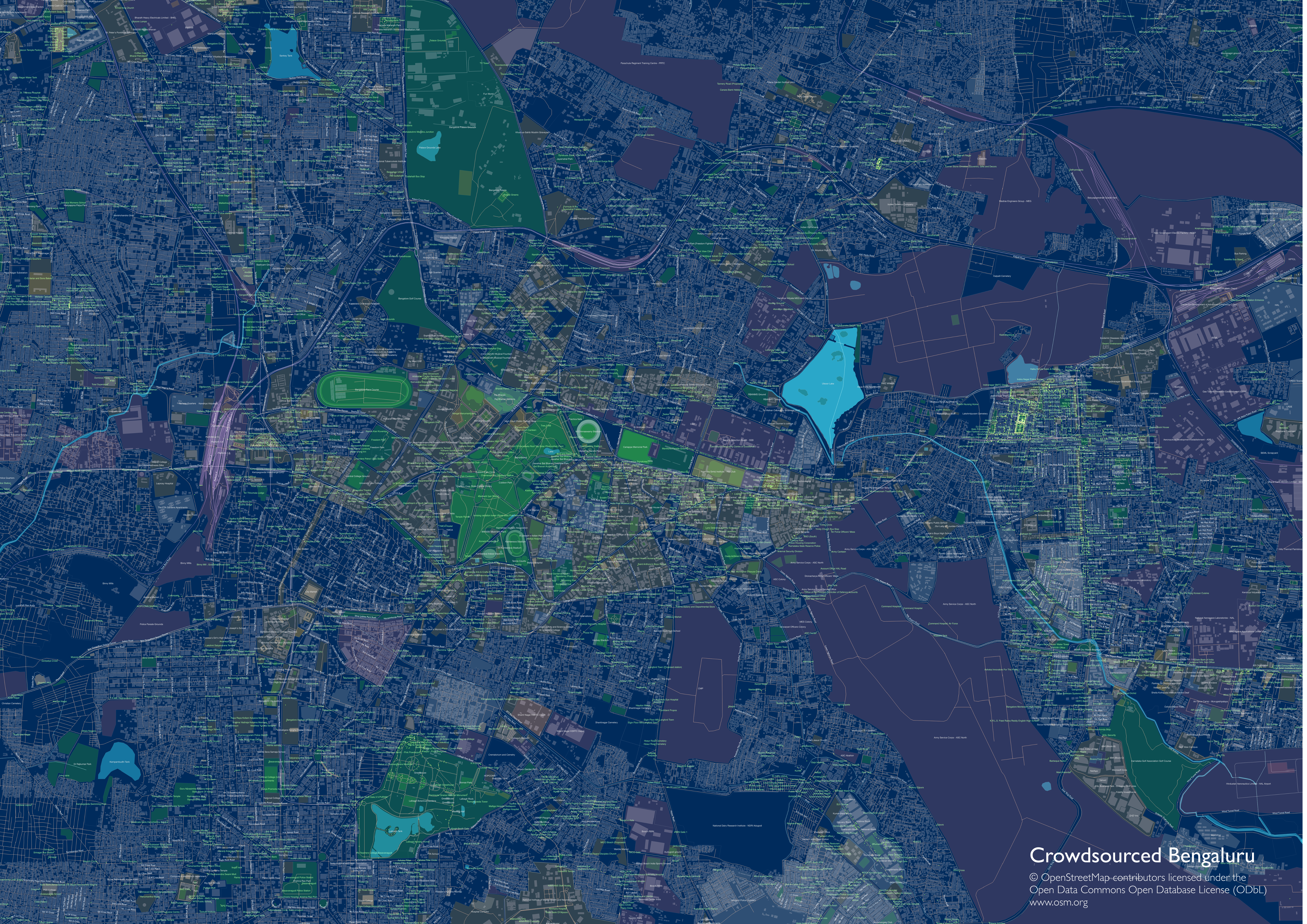
| 20:36, 19 December 2015 | Bengaluru Crowdsourced 2015 - OSM data map.png (file) |  |
27.63 MB | A2 Poster of Bengaluru OSM data for the Life with data gallery http://lifewithdata.org. | 1 |
| 11:21, 1 December 2015 | Hiratsuka Kamogawa OSM improvement.gif (file) |  |
734 KB | Mapping progress of improving OSM at Hiratsuka near Kamogawa, japan during my vacation. | 1 |
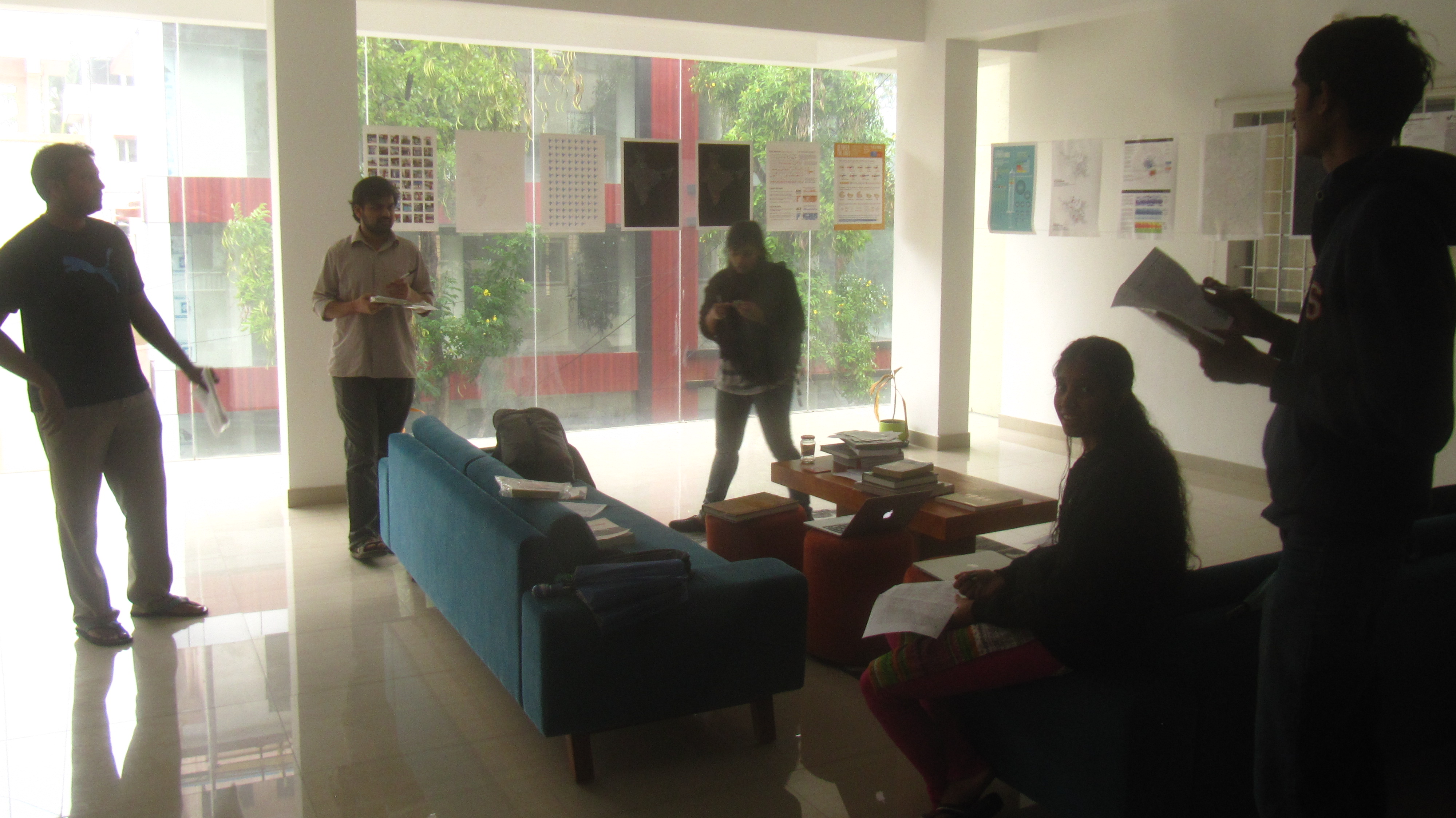
| 06:12, 24 November 2015 | Bengaluru mapping party 3 discussion.jpg (file) |  |
1.67 MB | The members of the street lamp mappng in Indiranagar. | 1 |
| 08:37, 16 November 2015 | Bengaluru tree mapping party 12 July 2015.jpeg (file) |  |
2.07 MB | Mappers of the Indiranagar tree mapping party at the Mapbox bengaluru office. | 1 |
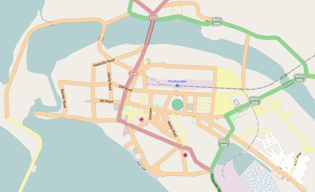
| 16:07, 2 October 2015 | Porbandar OSM map improvement.gif (file) |  |
475 KB | Animation showing the effect of road reclassification, fixes and tracing over a period of two hours for the city of Porbandar, Gujarat. Porbandar is the birthplace of the Mahatma Gandhi. | 1 |
| 09:33, 10 August 2015 | OSM India 11 year anniversary cake.jpg (file) |  |
1.69 MB | The cake to be cut at the OSM 11 year birthday reception at Mapbox Bengaluru on 10 August 2015. Details: http://www.openstreetmap.org/user/PlaneMad/diary/35551 | 1 |
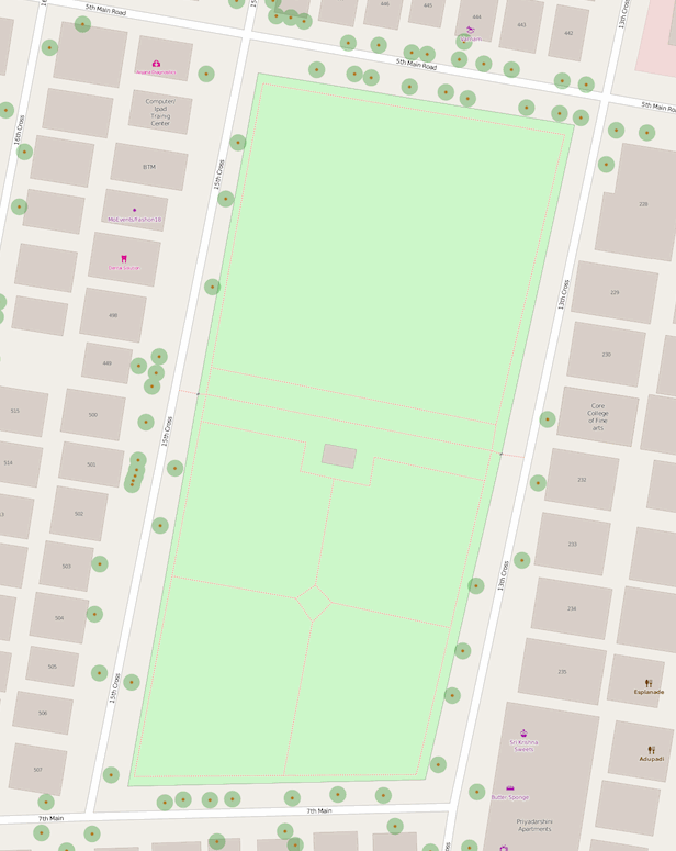
| 05:18, 13 July 2015 | Bengaluru Indiranagar tree mapping party.gif (file) |  |
259 KB | Animation showing the progress of mapping trees, benches , dustbins and park lamps inside 13th Cross park in Indiranagar, Bengaluru during India/Events/Bangalore Mapping Party 2 | 1 |
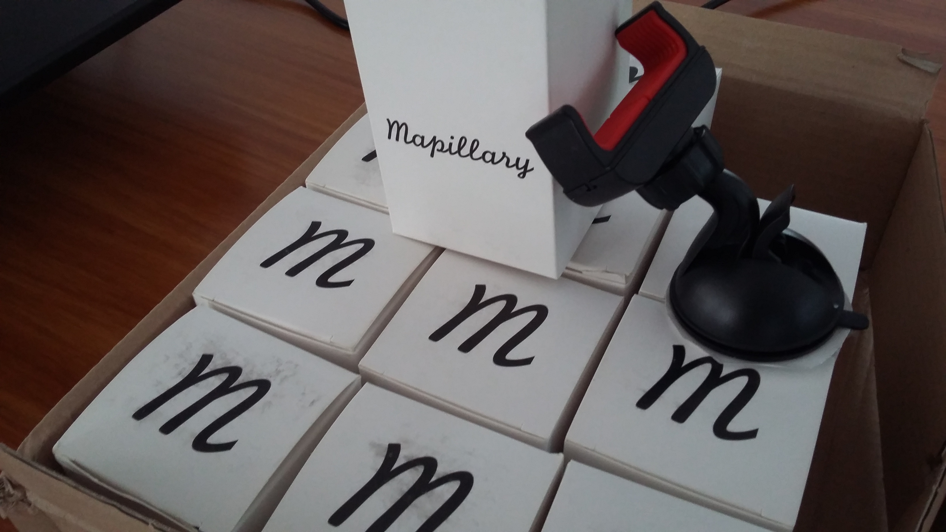
| 19:53, 21 May 2015 | Mapillary car mounts.jpg (file) |  |
1.4 MB | Car mounts that was gifted by Mapillary to Indian OSM community | 1 |
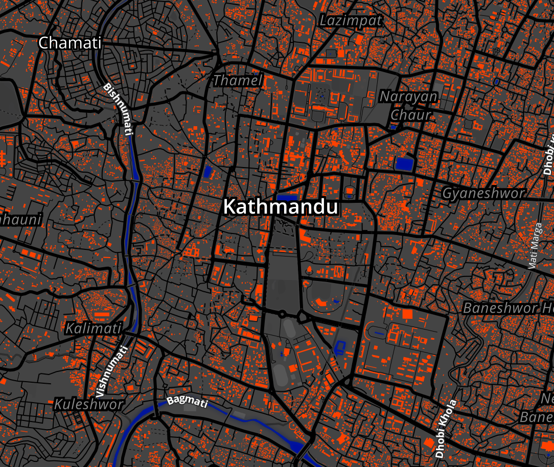
| 20:14, 25 April 2015 | Kathmandu red buildings map style.png (file) |  |
1.21 MB | Graphic for India/Events/Bangalore HOT Nepal Earthquake Mapathon 1. | 1 |
| 06:03, 26 March 2015 | Bangalore mapping party 1 - result.gif (file) |  |
543 KB | Map progress before and after the ground survey. | 1 |
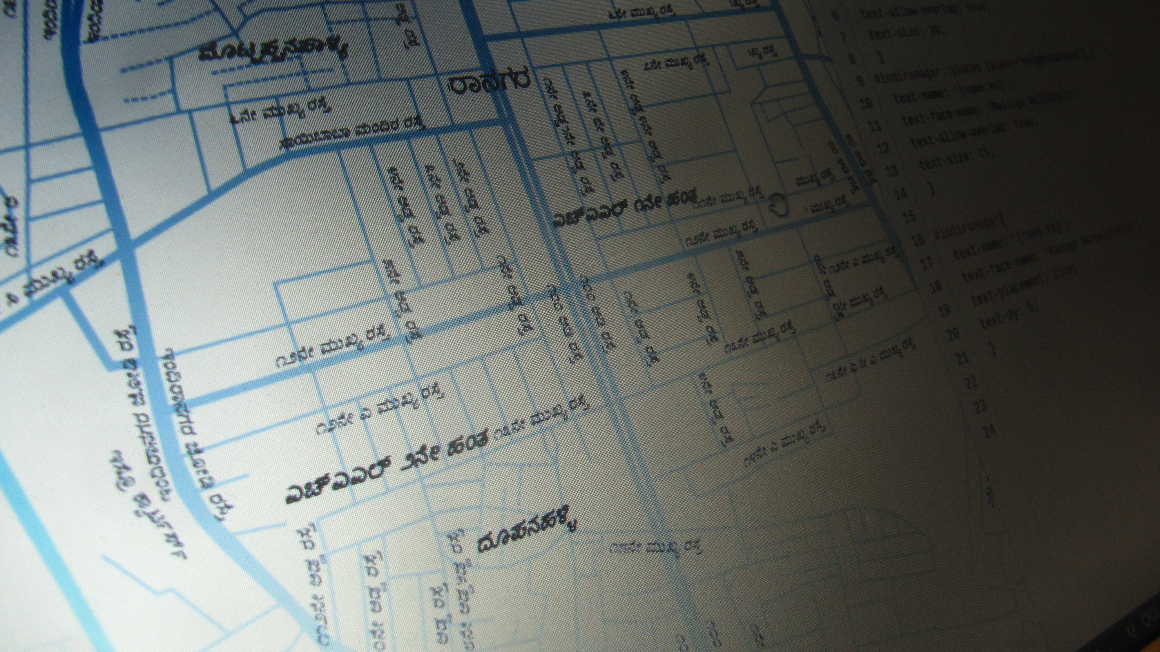
| 05:53, 9 March 2015 | Indiranagar Bangalore Kannada map using Mapbox Studio.jpeg (file) |  |
2.93 MB | Kannada stree tmap rendering of Openstreetmap for Bangalore. More details here: http://yogiks.github.io/osm-kn/ | 1 |
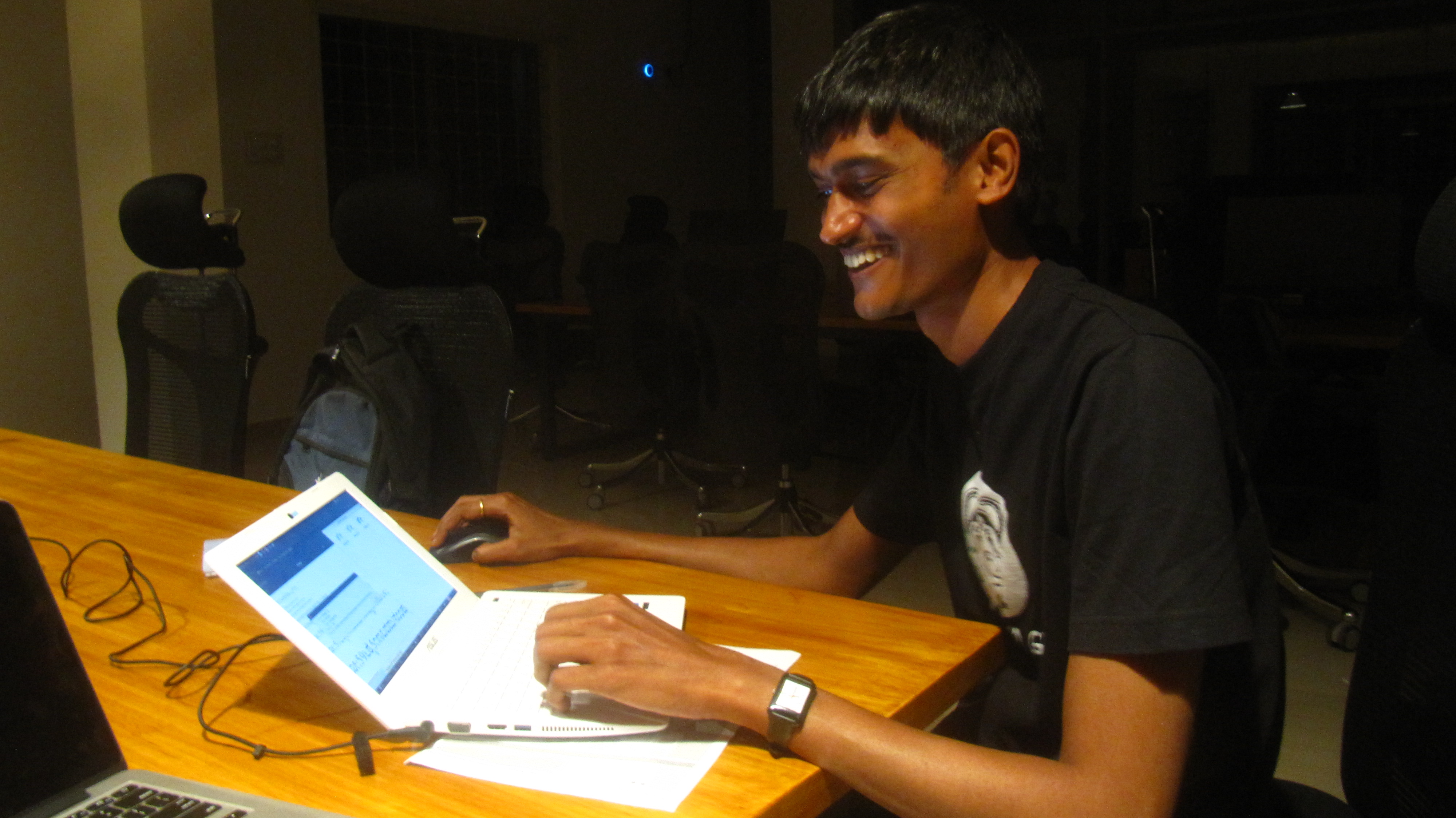
| 05:38, 9 March 2015 | Bangalore mapping part 1 - Yogesh rendering Kannada maps.jpeg (file) |  |
1.59 MB | The historic moment when Yogesh renders the first Kannada OSM map ever. | 1 |
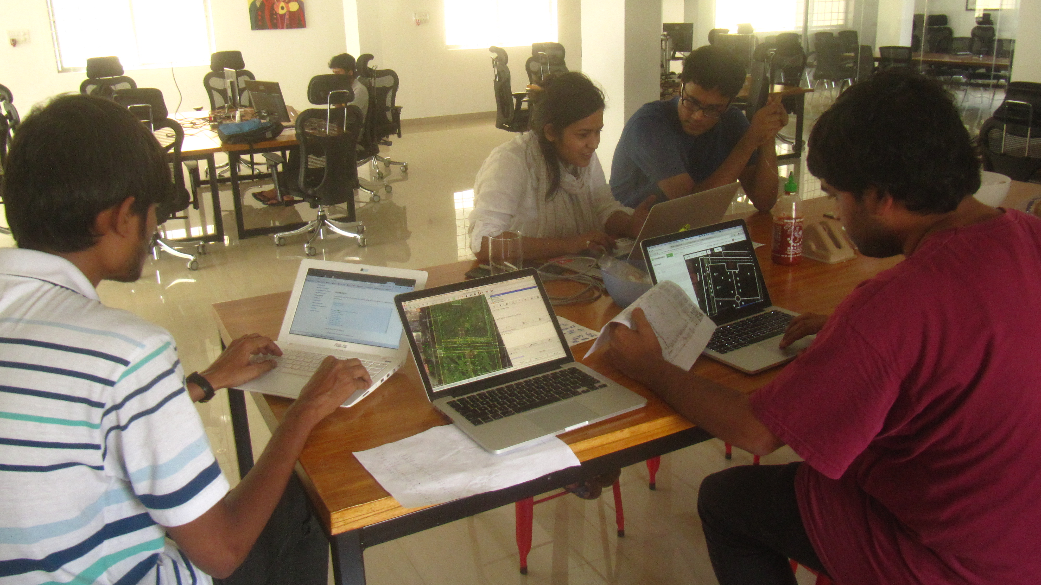
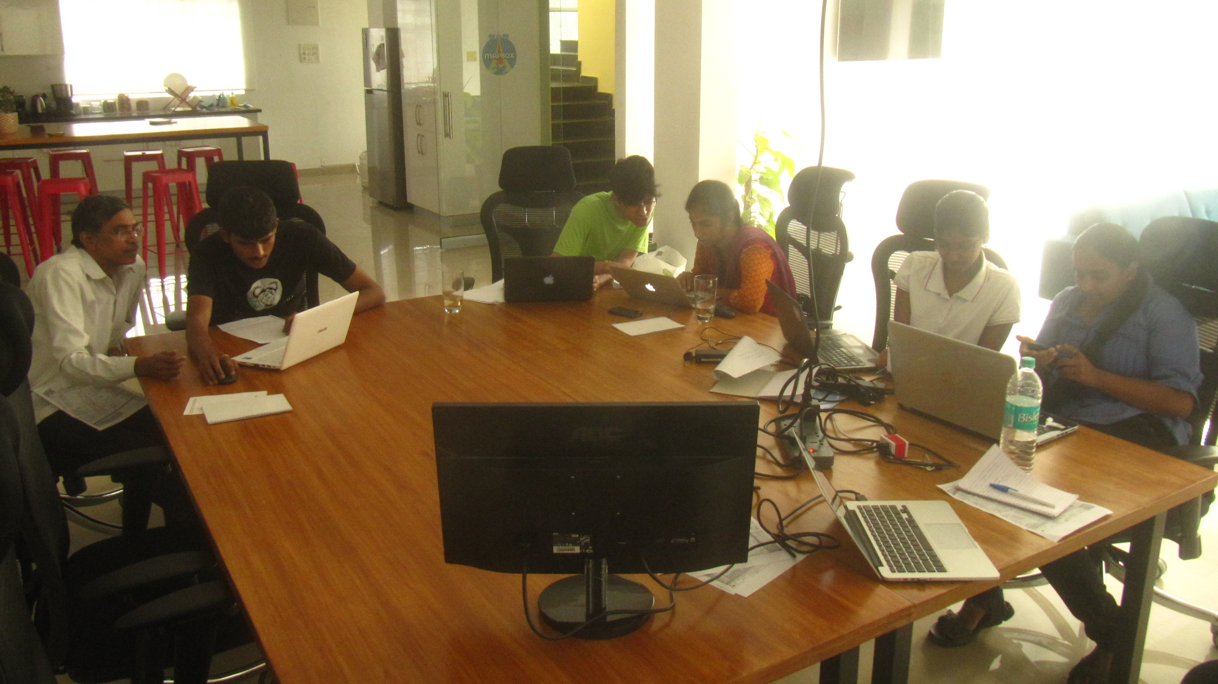
| 05:28, 9 March 2015 | Bangalore mapping party 1 - post survey mapping.jpeg (file) |  |
1.7 MB | Everyone adding their data from fieldpapers to OSM | 1 |
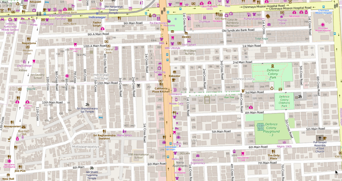
| 07:18, 6 March 2015 | Indiranagar map light style.png (file) |  |
816 KB | Extract of Indiranagar, Bangalore in a custom Mapbox Studio style | 1 |
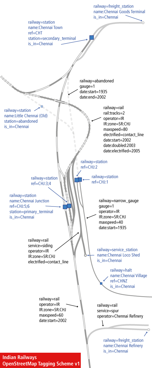
| 16:09, 22 May 2010 | Indian-Railways-openstreetmap-tagging-scheme.png (file) |  |
98 KB | wrong file | 3 |
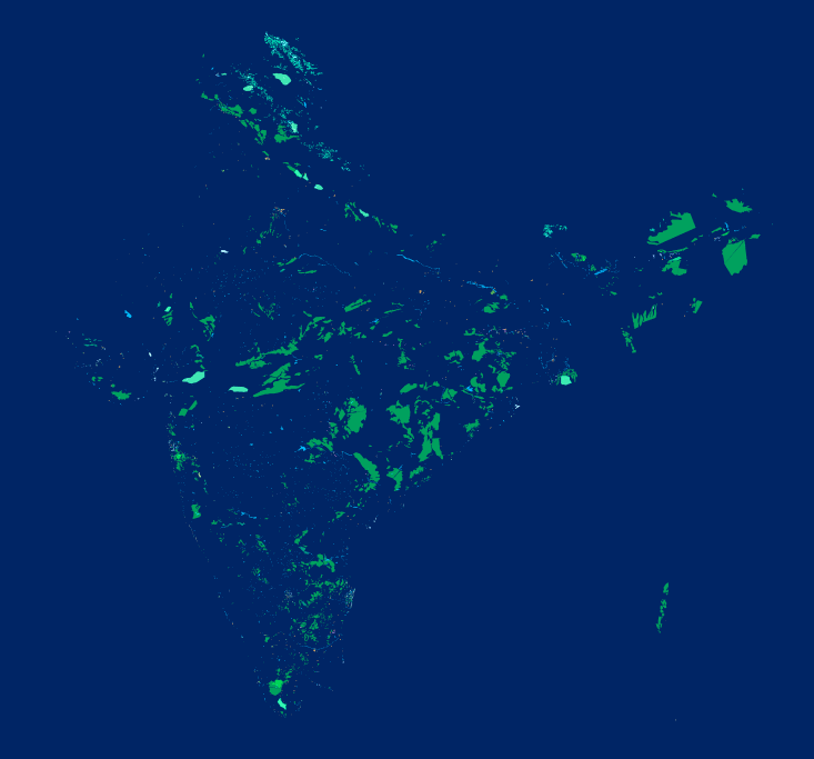
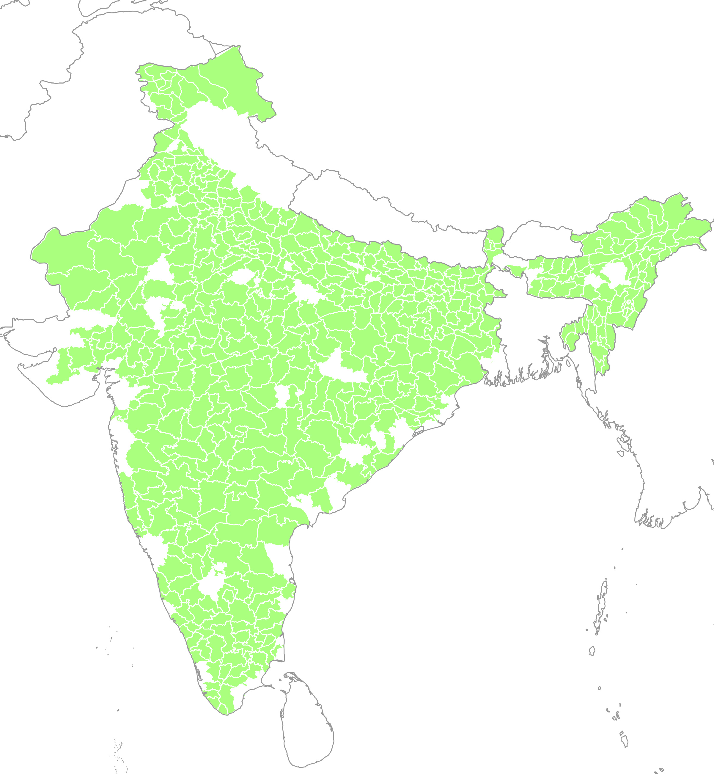
| 16:43, 8 May 2010 | India OSM district boundaries.jpg (file) |  |
1.12 MB | Shows the coverage of Indian district boundaries on OSM. Almost all the data was imported from the [http://lists.openstreetmap.org/pipermail/talk-in/2009-December/001036.html Indian census2001 shapefiles in Dec 2009] | 1 |
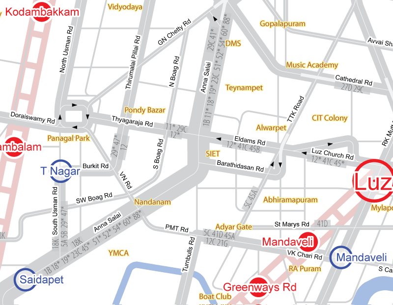
| 18:01, 14 December 2008 | Chennai-schematic-sample.png (file) |  |
70 KB | Sample of the chennai schematic map. See Chennai/Bus Route mapping project for details | 1 |
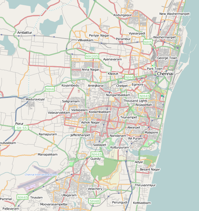
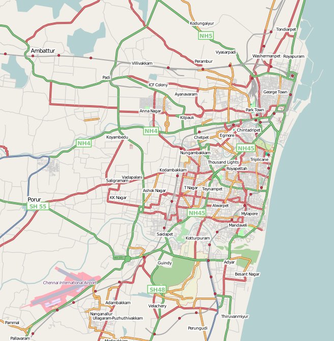
| 09:16, 10 November 2008 | Chennai OSM progress map.png (file) |  |
362 KB | Chennai OSM Map | 1 |
| 19:04, 19 August 2008 | Chennai 22 feb 08.jpg (file) |  |
107 KB | updated | 2 |