Uploads by Tony Rotondas
Jump to navigation
Jump to search
This special page shows all uploaded files.
| Date | Name | Thumbnail | Size | Description | Versions |
|---|---|---|---|---|---|
| 17:17, 17 January 2024 | Cemetery sign.svg (file) |  |
3 KB | Reverted to version as of 17:16, 17 January 2024 (UTC) | 4 |
| 08:42, 24 May 2022 | PolygonCutOut example.gif (file) |  |
413 KB | {{Information | description= Example of using the PolygonCutOut plugin for JOSM | source=own image | date=2022-05-24 | author= Tony_Rotondas | permission= | other_versions= }} | 1 |
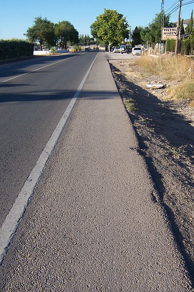
| 07:55, 15 July 2019 | Shoulder.jpeg (file) |  |
87 KB | Shoulder of a road | 1 |
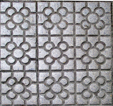
| 11:00, 23 May 2016 | Baldosa bilbao.jpg (file) |  |
93 KB | Reverted to version as of 14:29, 11 April 2012 | 3 |
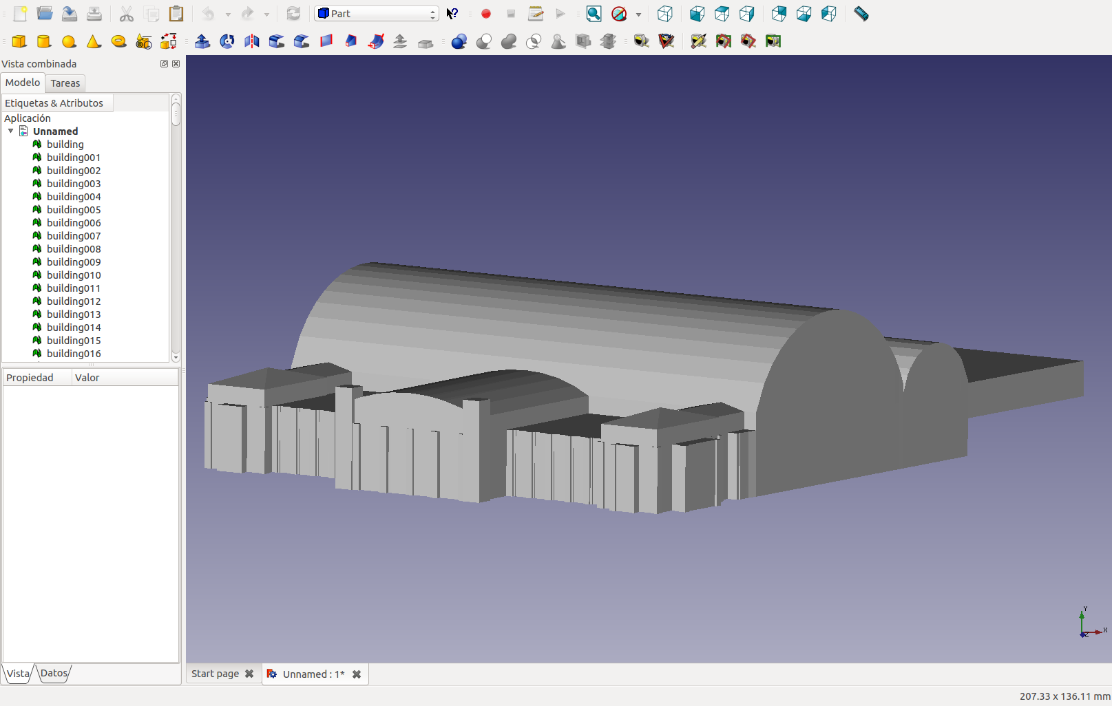
| 11:50, 30 September 2014 | OsmModelFreecad.png (file) |  |
124 KB | Parametric model in [http://www.freecadweb.org FreeCAD] created with OSM basic 3D tags. | 1 |
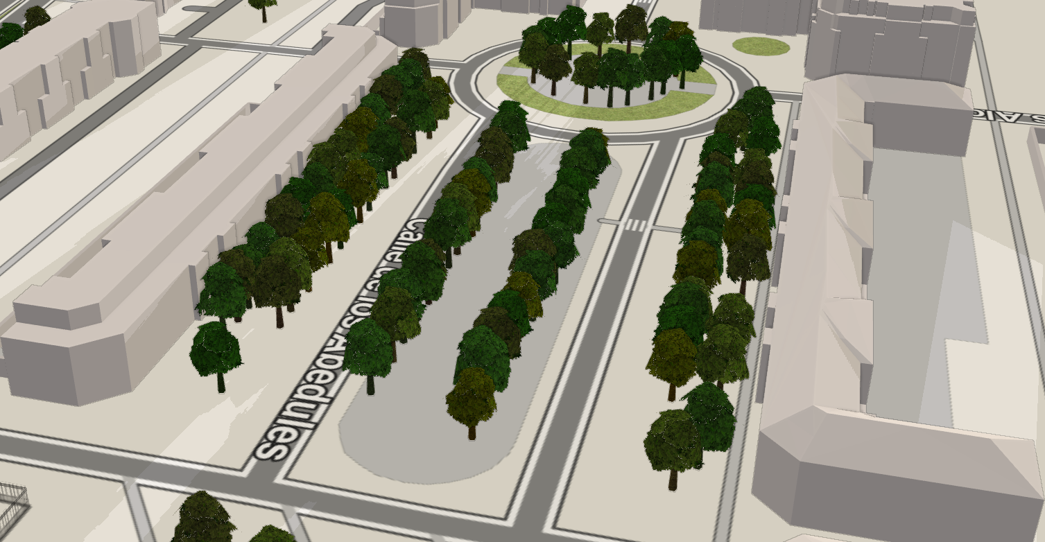
| 17:36, 29 September 2014 | F4Map - Simple 3D Buildings.png (file) |  |
831 KB | Characterization of roofs Source: [http://demo.f4map.com/#lat=43.4568133&lon=-3.8532605&zoom=20&camera.theta=61.616&camera.phi=120.035 F4map viewer] | 1 |
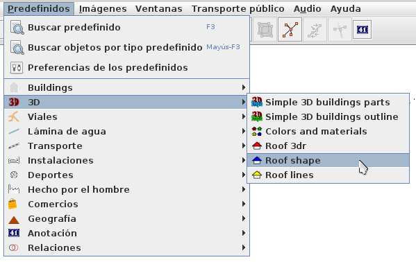
| 17:27, 29 September 2014 | Menu 3d predefinidos tejado.png (file) |  |
36 KB | 3D buildings presets in JOSM (Spanish). | 1 |
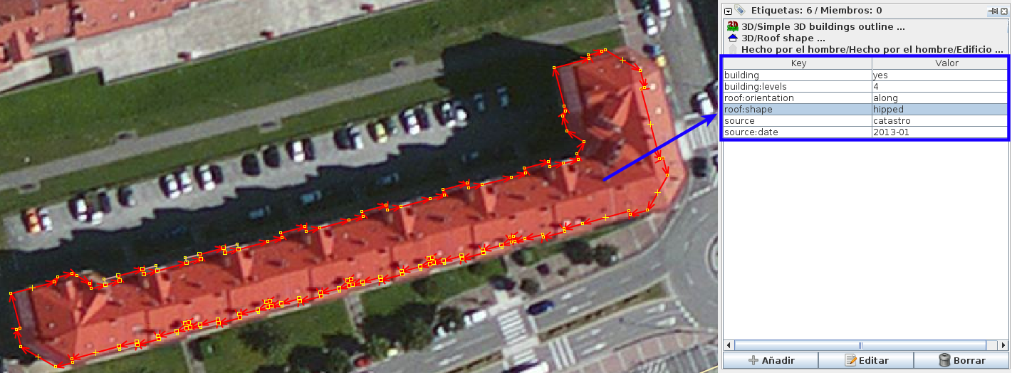
| 17:21, 29 September 2014 | Bloque edificio tejado.png (file) |  |
468 KB | 3D tags for buildings. | 1 |
| 17:19, 8 September 2014 | Order of icons.png (file) | 6 KB | Order of icons in JOSM for topological clean in Spanish Cadastre. | 3 | |
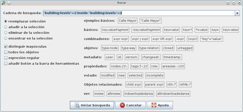
| 16:00, 8 September 2014 | Busqueda topologica JOSM.png (file) |  |
51 KB | Example of topological search in JOSM (Spanish localization). | 2 |
| 18:54, 24 March 2014 | Buildings with addresses.png (file) |  |
638 KB | OSM Inspector: Buildings with addresses. | 1 |
| 18:28, 24 March 2014 | Digitizing errors.svg (file) |  |
9 KB | English: Topological and digitizing errors in Geography Information Systems (GIS). Spanish: Errores topológicos y de digitalización en Sistemas de Información Geográfica (SIG). | 1 |
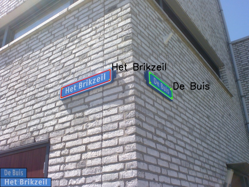
| 11:04, 11 July 2013 | SignFinder.jpg (file) |  |
228 KB | SignFinder is a project to automatically detect and read dutch street signs from photo's. This is a OpenStreetmap project, sponsored by the Google Summer of Code 2009. Source: https://code.google.com/p/signfinder | 1 |
| 16:40, 25 February 2012 | JOSM-catastro-el dueso.png (file) |  |
1.93 MB | Result of conversion mapping Cadastre of Spain. Penal colony of El Dueso in Santoña (Cantabria) | 1 |
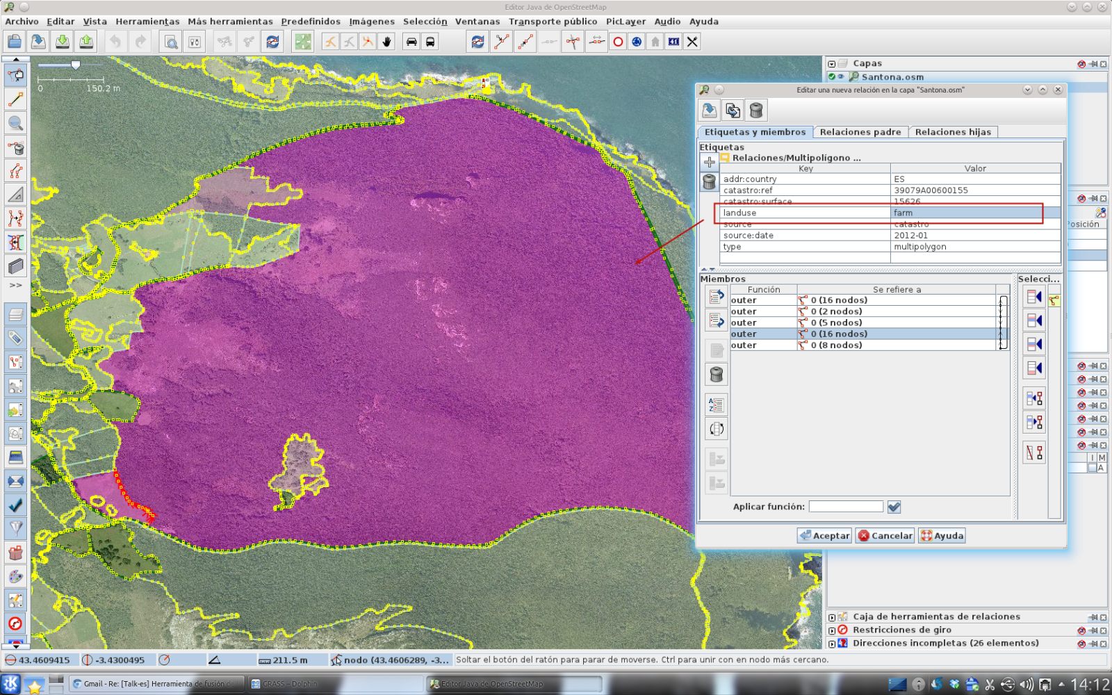
| 16:33, 25 February 2012 | JOSM-catastro-monte buciero.jpg (file) |  |
377 KB | Result of conversion mapping Cadastre of Spain. Mount Buciero in Santoña (Cantabria) | 1 |
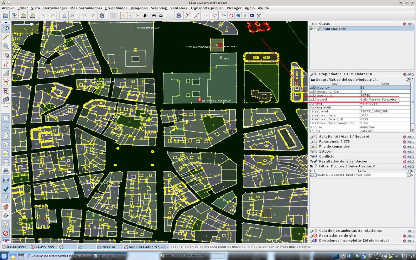
| 16:28, 25 February 2012 | JOSM-catastro-santona.png (file) |  |
912 KB | Result of conversion mapping Cadastre of Spain. Santoña (Cantabria) | 1 |
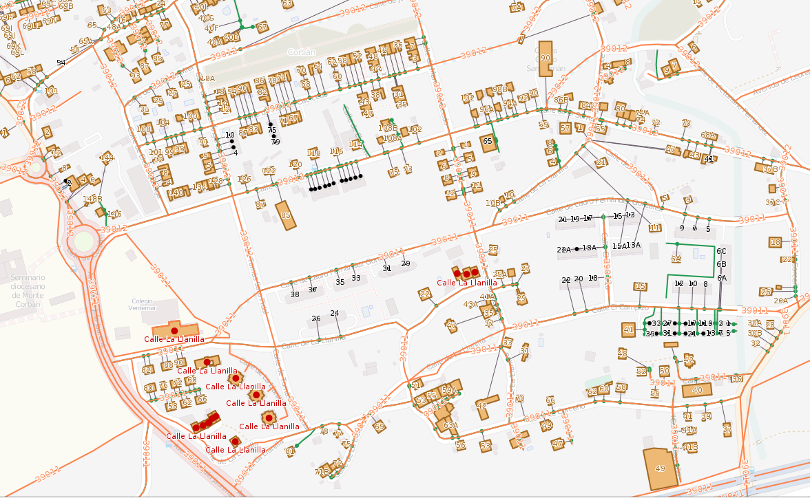
| 16:11, 6 February 2012 | JOSM-catastro-pesquera.png (file) |  |
1.21 MB | Result of conversion mapping Cadastre of Spain. Pesquera (Cantabria). | 1 |
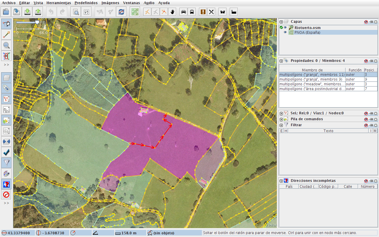
| 16:01, 6 February 2012 | JOSM-catastro-riotuerto.png (file) |  |
1.4 MB | Result of conversion mapping Cadastre of Spain. | 1 |
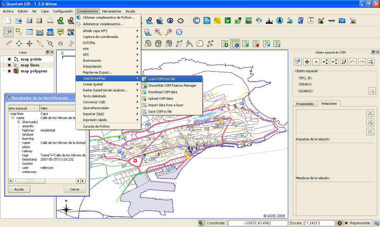
| 18:27, 25 September 2009 | QGIS OSM.png (file) |  |
137 KB | OpenStreetMap in QGIS 1.3.0 Mimas | 2 |
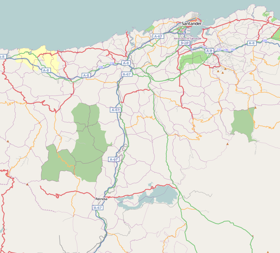
| 16:48, 13 June 2008 | Cantabria - 20080613.png (file) |  |
306 KB | Map of the region of Cantabria, in the north of Spain. Date: 2008/06/13 | 1 |