User:Sir Titus2
Mapping Area
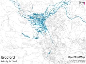
I am mainly working on the area around Shipley on foot when I go out walking my dog, but have also mapped other small areas around Bradford when I am out and about, if I have time. I have also done quite a bit of work on the University of York Heslington Campus.
Device
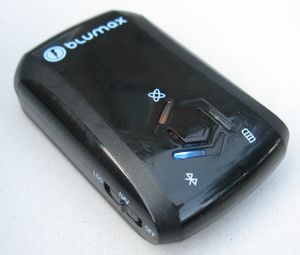
I am gathering data using cheap logger - a Blumax GPS-4044 which was about £40. I record street names and rough layouts with pen and paper. I then use the software supplied with the device to read the data from the logger, export to NMEA file and then use GPSBabelGUI to covert the NMEA file to gpx to upload. The supplied software (GPS Photo Tagger) should be capable of exporting directly to gpx, but it hangs more often than not when trying that.
One day I may get around to looking at other software to get the data off. http://www.bt747.org/compatible_gps says that software is compatible with the Blumax.
Editing Software
I mainly use JOSM for the editing.

